Arcola Avenue Corridor Study
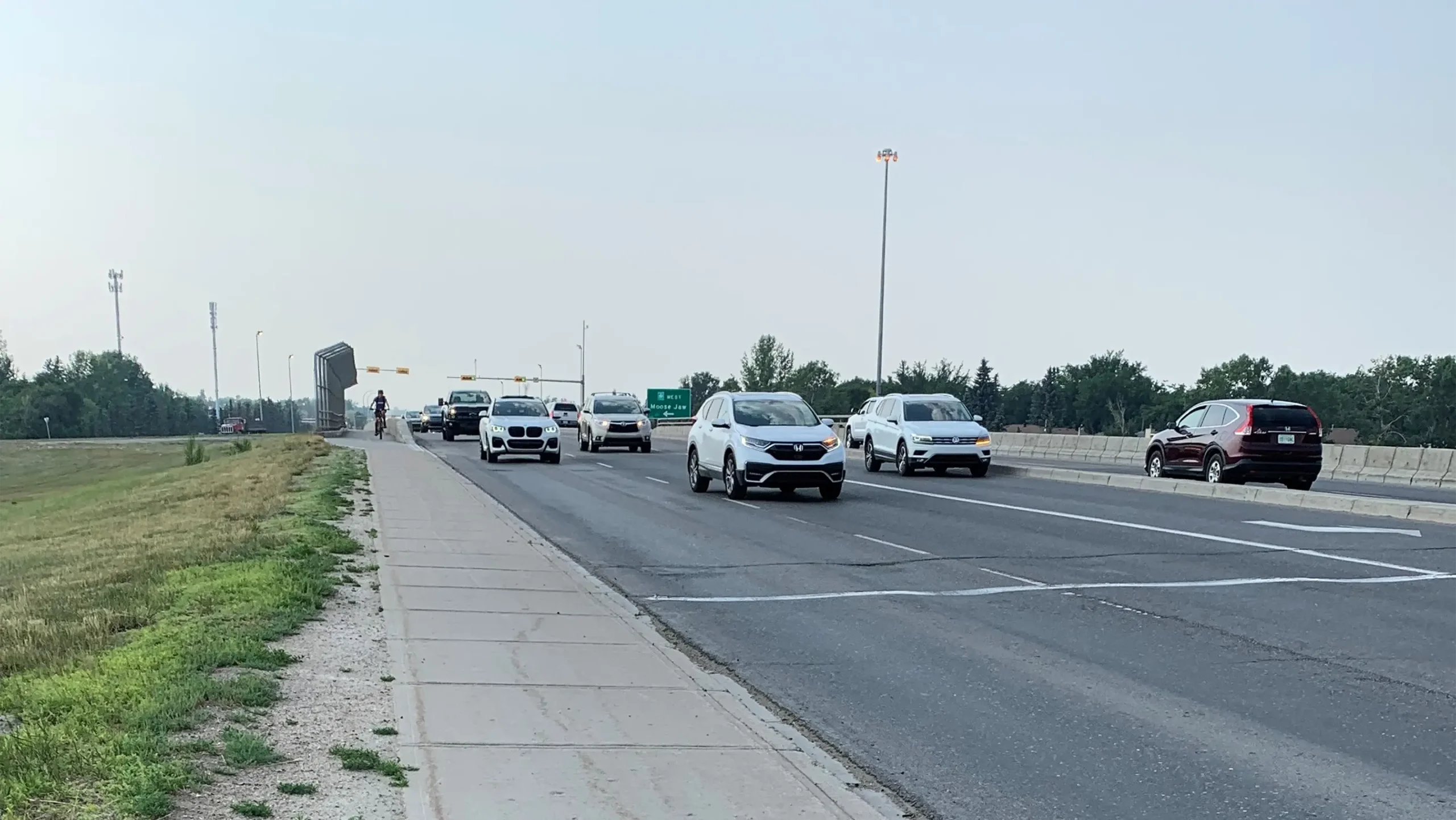
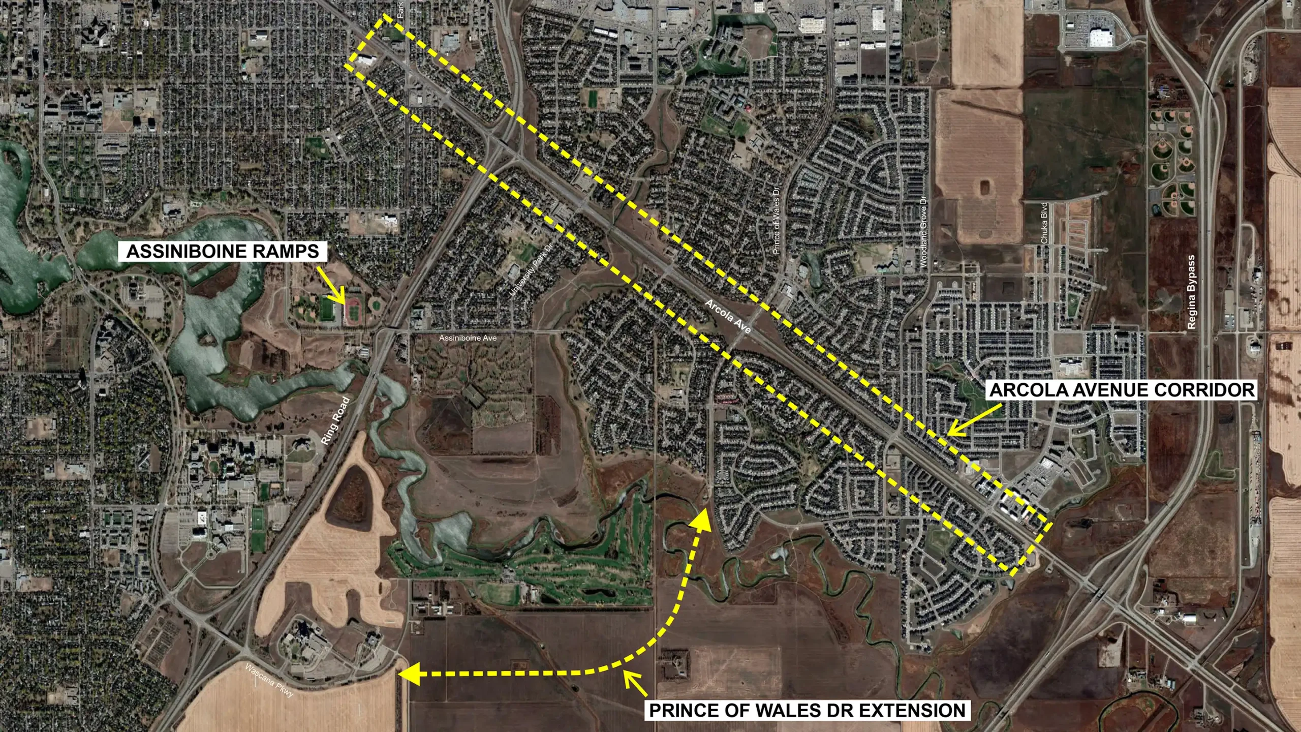
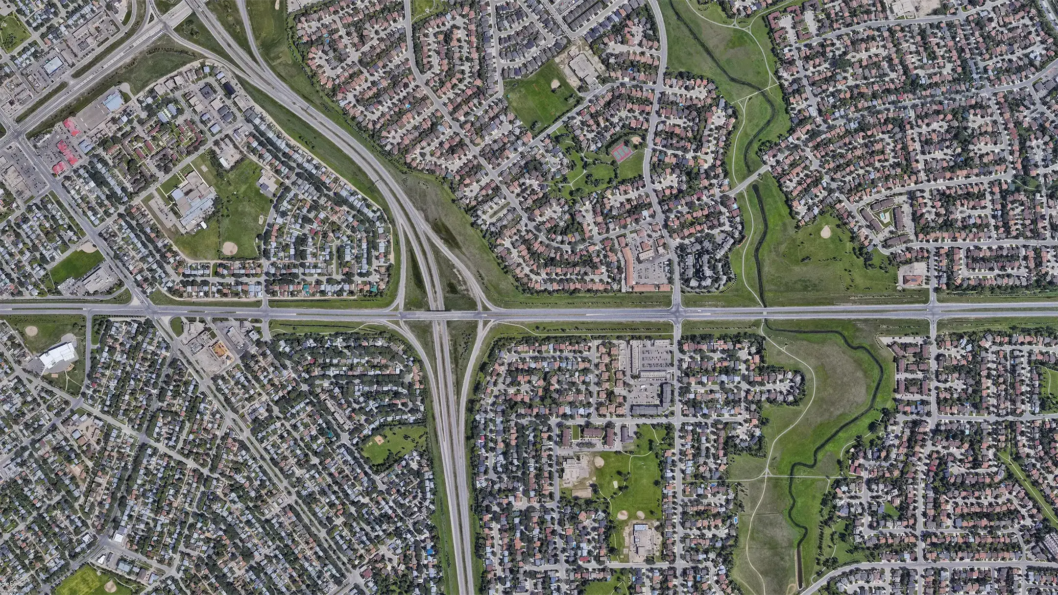
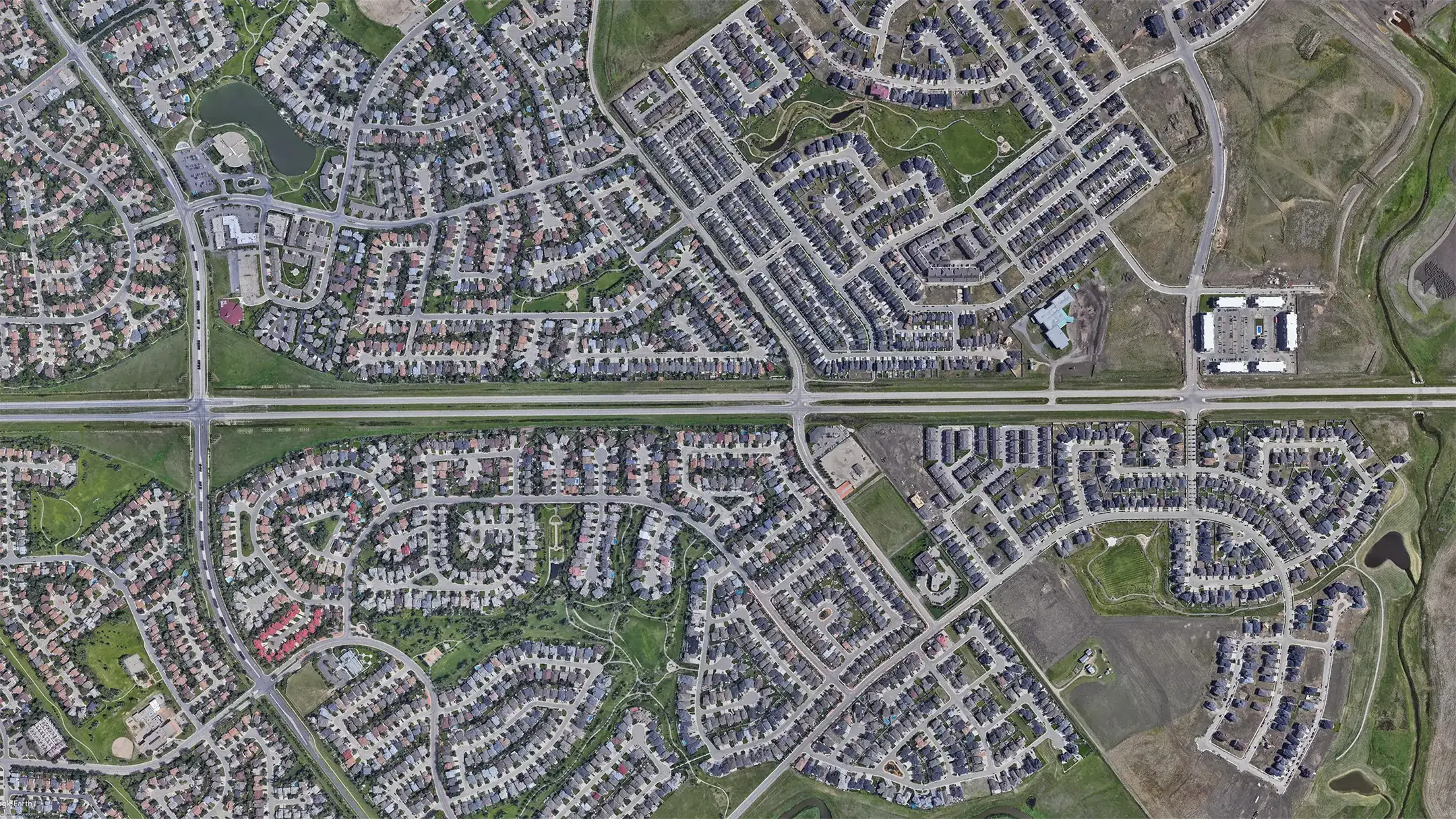
The Arcola Avenue corridor in southeast Regina, Saskatchewan serves 45,000 vehicles each day. Due to rapid residential growth in the surrounding area, the City of Regina wanted to establish a plan that addressed both existing traffic and future travel needs considering the anticipated population growth. The need for this assessment was compounded by the fact that there are limited alternative routes to access southeast Regina.
The scope of this study included traffic forecasting and micro simulation and detailed examination of transit, cycling and pedestrian needs. Additional consideration for how one network change could impact signal timing at other intersections and change commuter travel paths in the network was also studied. Further, several surrounding network changes, that could impact the recommendations for this important corridor, were explored in the study.
The study identified a future plan for the Arcola Avenue corridor operation, including a recommended interchange layout that would serve future travel demand for this growth area. Recommendations covered active modes improvements (pedestrian, bike, and transit), geometric improvements, signal timing changes, and new roadway infrastructure required to reach a 300,000-population horizon for Regina.
Project Highlights
- Traffic forecasting and scenario development using observed volumes of 45,000 vehicles per day
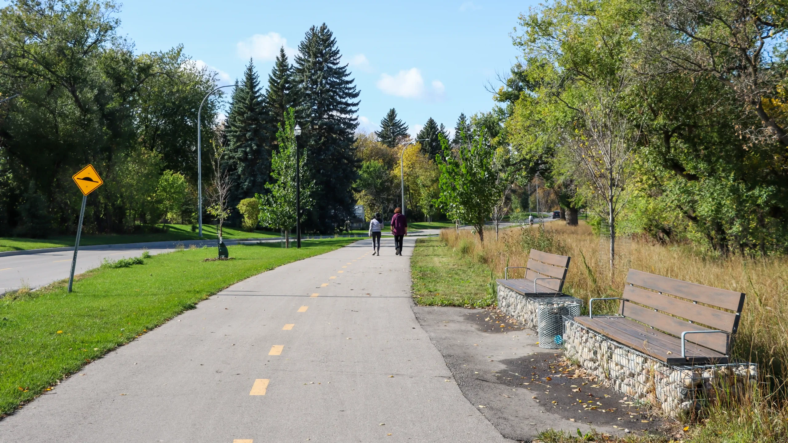
- Active transportation improvements plan
- Signal timing and coordination updates
- Turn lanes, auxiliary lanes, channelization and intersection reconfiguration for safety and throughput
- New roadway infrastructure recommendations to distribute demand and improve network resilience in southeast Regina
- Short‑, medium‑ and long‑term sequencing aligned with growth and funding readiness