

Wellington Crescent Riverbank, Roadway and Multi-Use Path
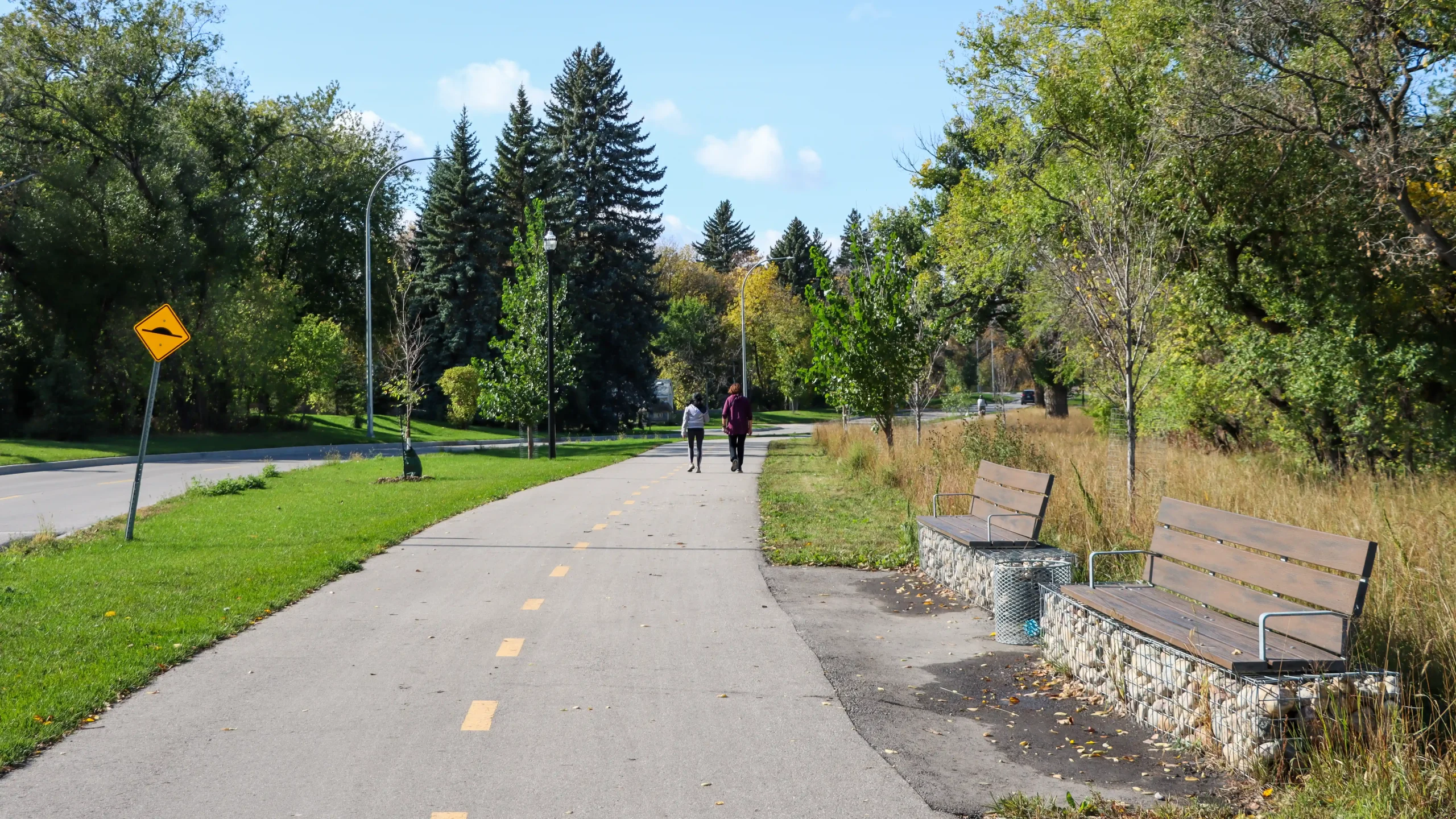
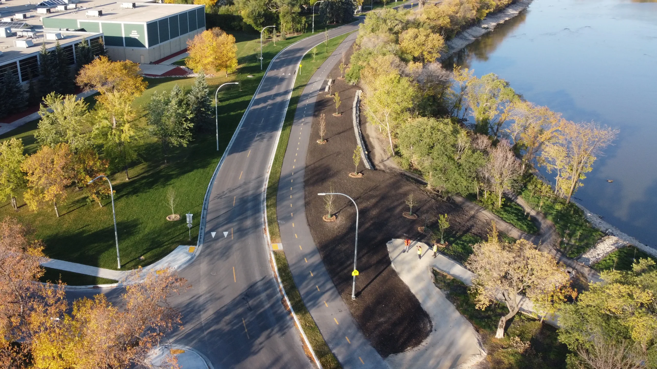


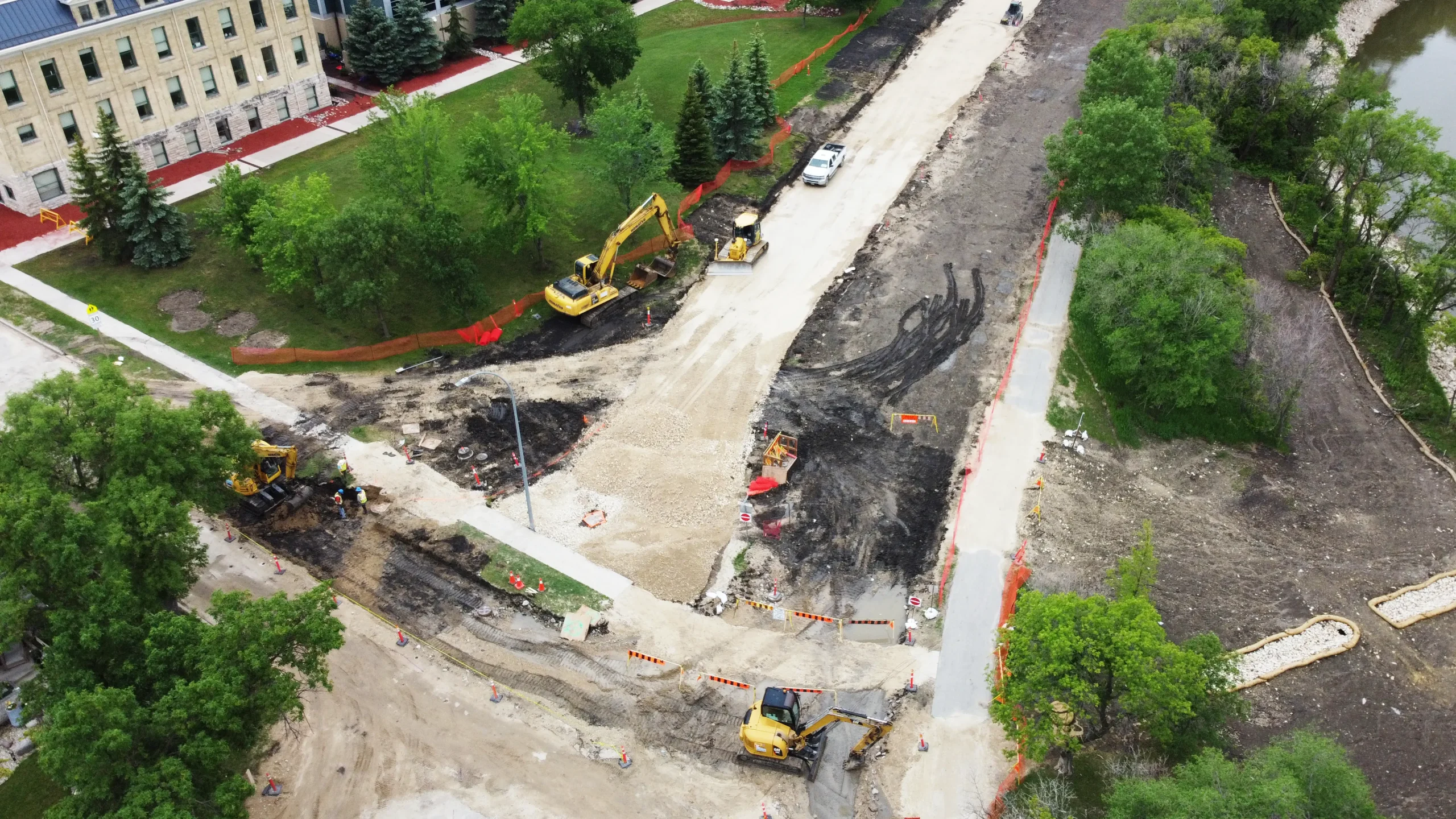

Following bank failures along the Assiniboine River adjacent to Wellington Crescent, the City of Winnipeg engaged KGS Group to explore and recommend renewal strategies to retain or replace critical riverfront infrastructure. The goal was to remediate at-risk sections, protect community assets and enhance a well-used corridor that connects downtown to Assiniboine Park.
Wellington Crescent is a vital corridor used by pedestrians, cyclists and vehicles and required careful consideration for long-term management. It also is an important naturalized area with a robust riparian ecosystem. Other considerations included protecting several underground utility assets, diverse critical infrastructure and the urban location.
Working from concept through design, tender and contract administration, we delivered a comprehensive design that weighed competing priorities and met ecological, social and economic objectives. This included erosion protection and riverbank stabilization, tree protection measures, active transportation development, realignment of Wellington Crescent and land drainage upgrades.
Project Highlights
- Riprap erosion protection and rockfill shear key slope stabilization along the riverbank
- Heritage tree protection measures and gabion retaining wall improvements
- Construction of river access trail, wilderness trail and paved multi‑use path
- Raised and reconfigured roadway intersections to improve safety and drainage
- Geometric realignment and widening of Wellington Crescent
- Tension crack sealing to stabilize roadway and adjacent slopes
- Land drainage and sewer upgrades to enhance corridor resilience
Kenora Downtown and Waterfront Revitalization
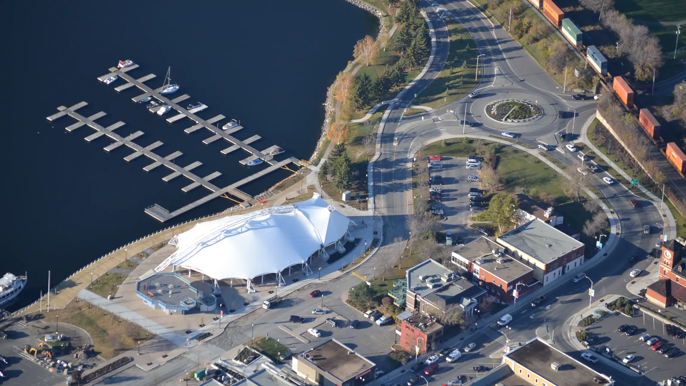
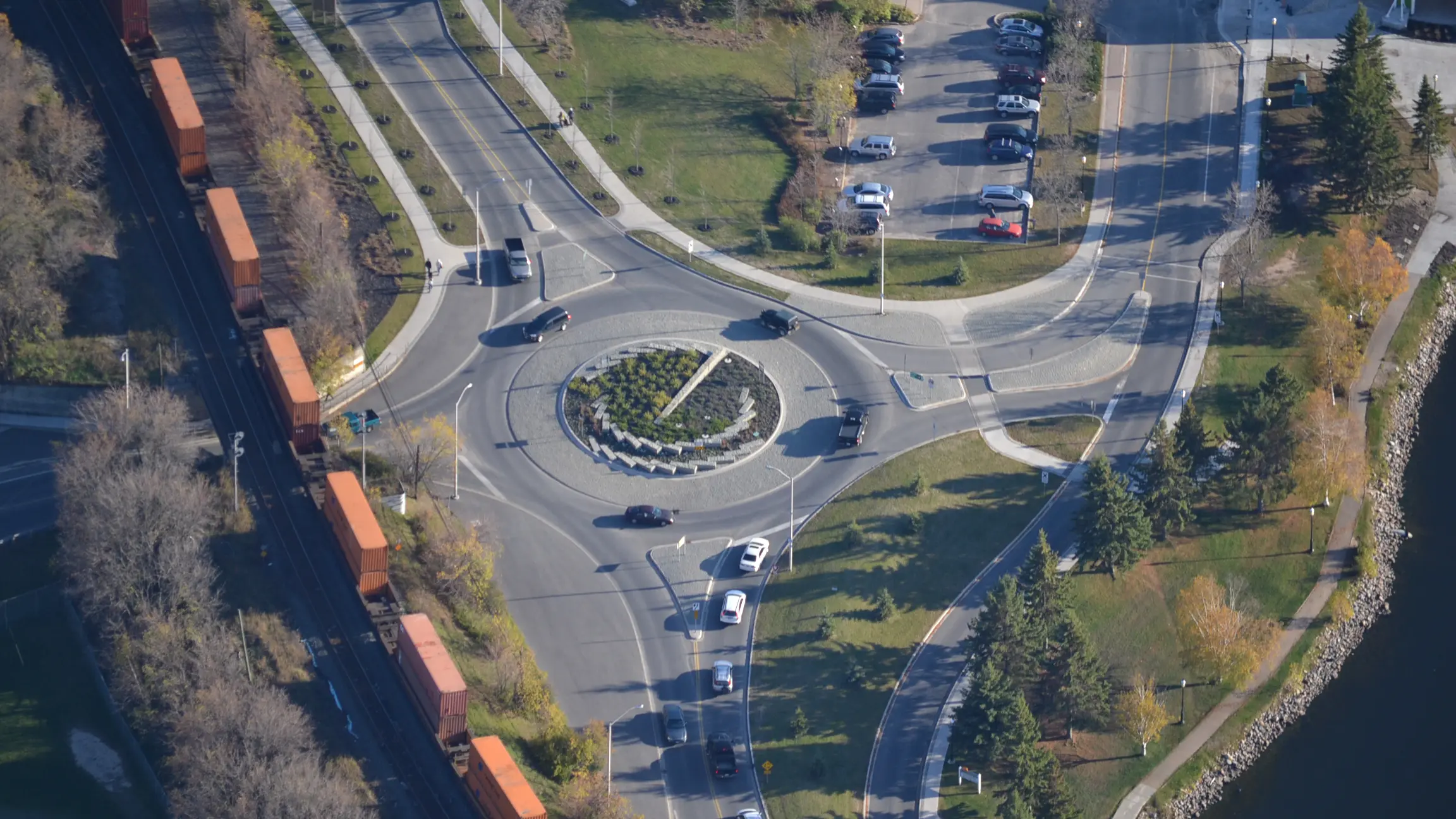
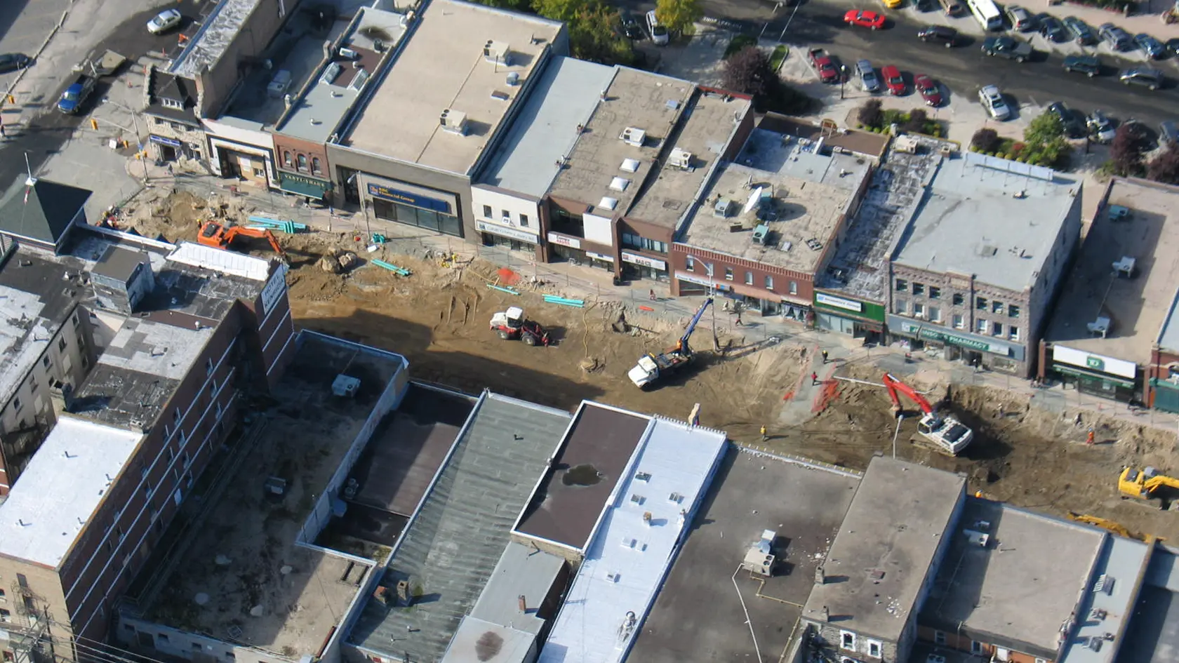
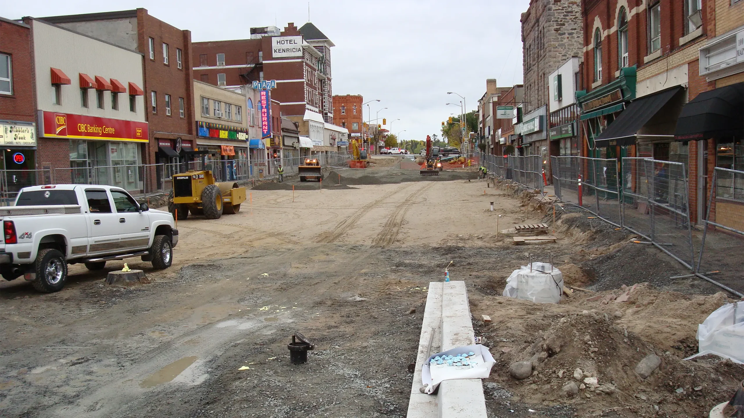
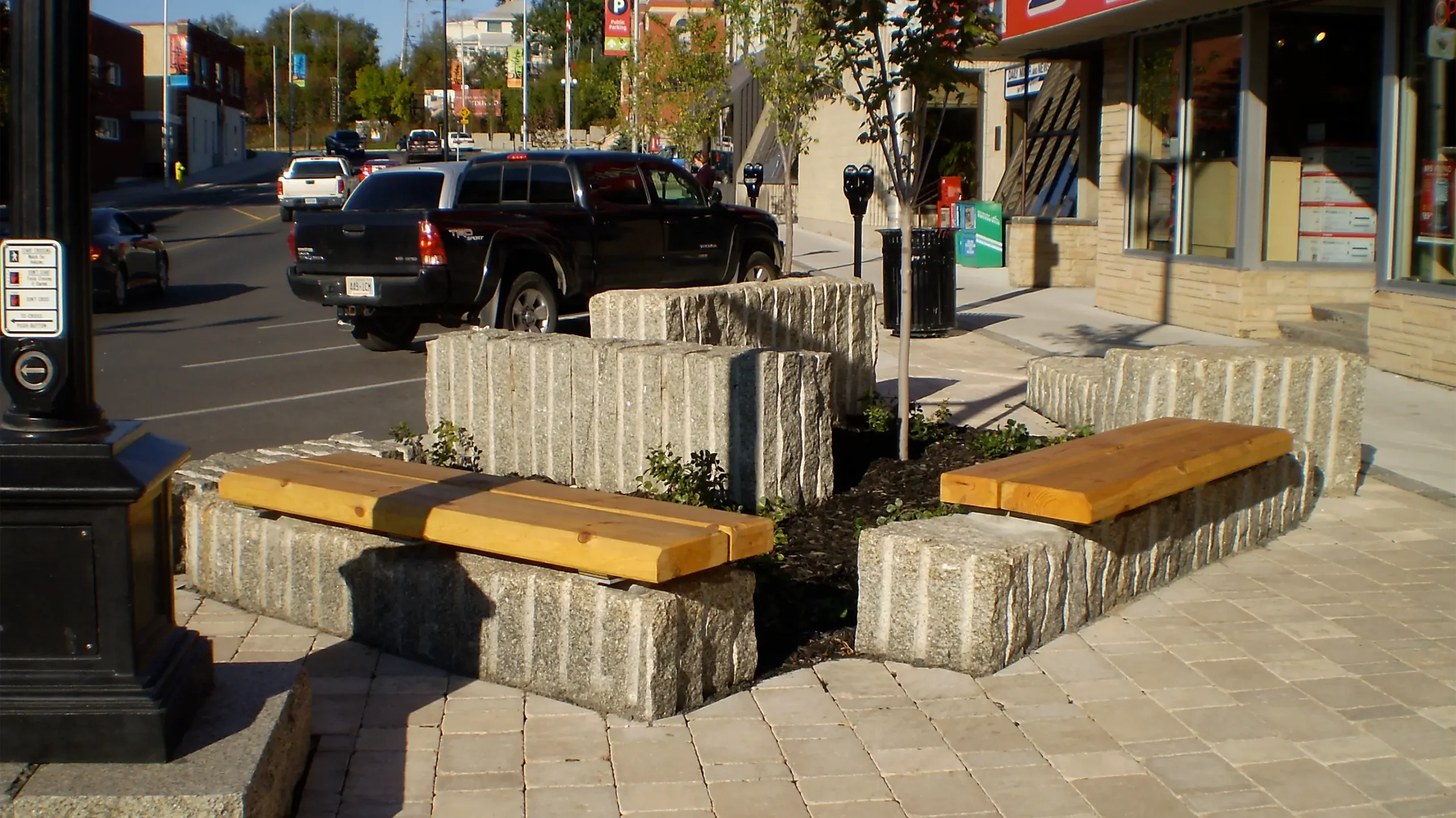
We provided design and contract administration services for a $9.1 million redevelopment of Kenora’s waterfront and downtown precincts – modernizing streets, public spaces and underground services while elevating the pedestrian experience and improving multimodal connectivity. A highlight of this project is utilizing our knowledge of the Complete Streets design methodology to create right‑of‑way that is safer for pedestrians, cyclists and drivers of all ages and abilities.
Working closely with the City of Kenora and stakeholders, the design addressed building interfaces, utility constraints and long‑term maintenance needs. Other major parts of the project included implementing traffic calming elements, pedestrian upgrades, underground renewal and drainage upgrades. Collaboration at focused user meetings resulted in one of the more significant changes from a signalized three-way intersection to the first modern roundabout built along the TransCanada Highway, improving safety and flow.
What was once an aging waterfront area, is now a vibrant pillar of the community that attracts visitors from near and far.
Project Highlights
- Street renewals and realignments across key downtown/waterfront corridors
- Construction of modern roundabout (the first along the TransCanada Highway)
- Sewer and water renewals with building service replacements
- Land drainage upgrades and coordinated utility relocations
- Multi‑use pathways and expanded active‑transportation network
- Boardwalk extension along waterfront for continuous access
- Tensile fabric event centre to support community programming
- Accessible design features – tactile‑delineated sidewalks and grading to meet guidelines
- Haptic roadway surfacing at intersections for traffic calming and awareness
Moose Jaw Transportation Master Plan
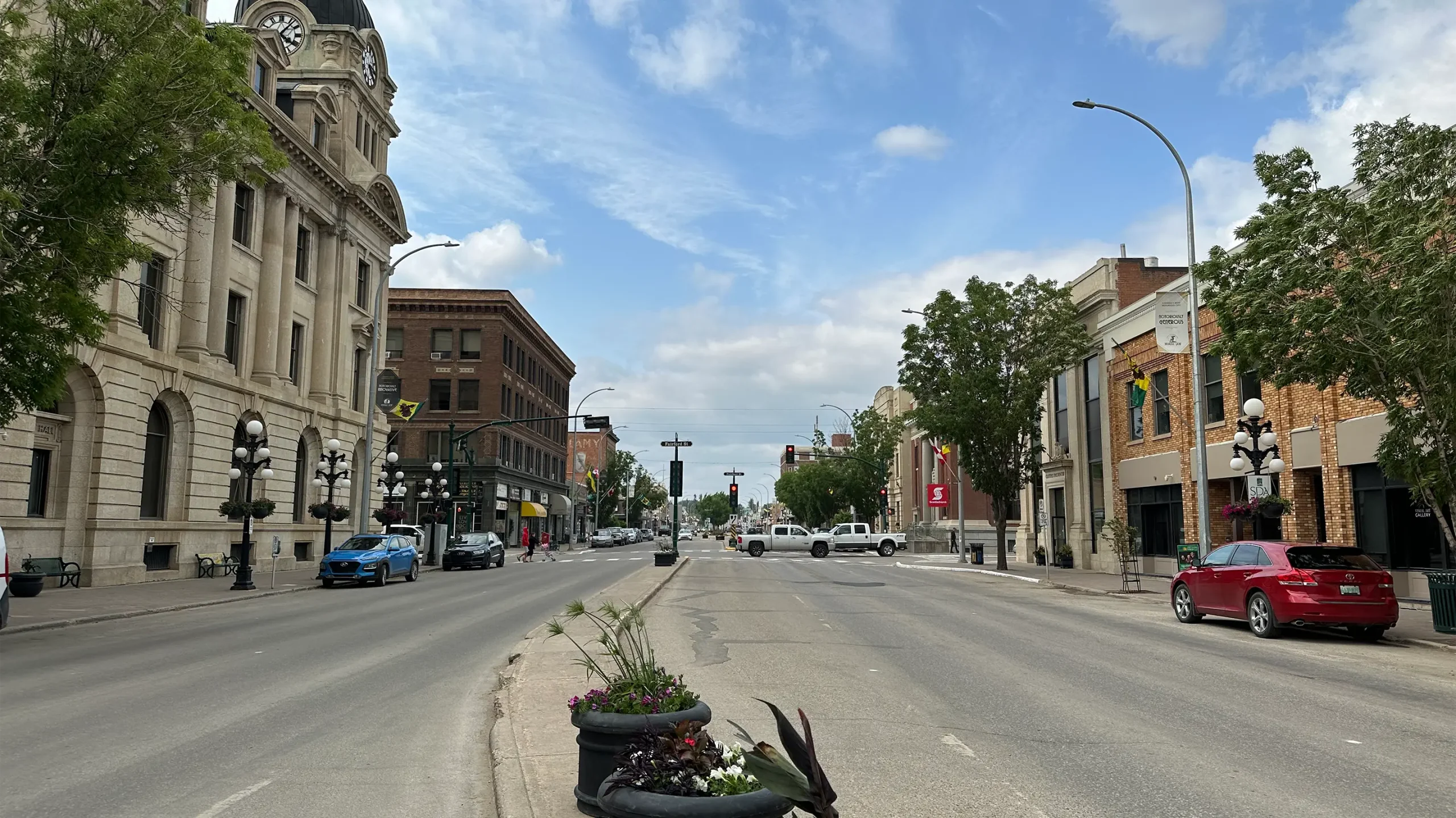
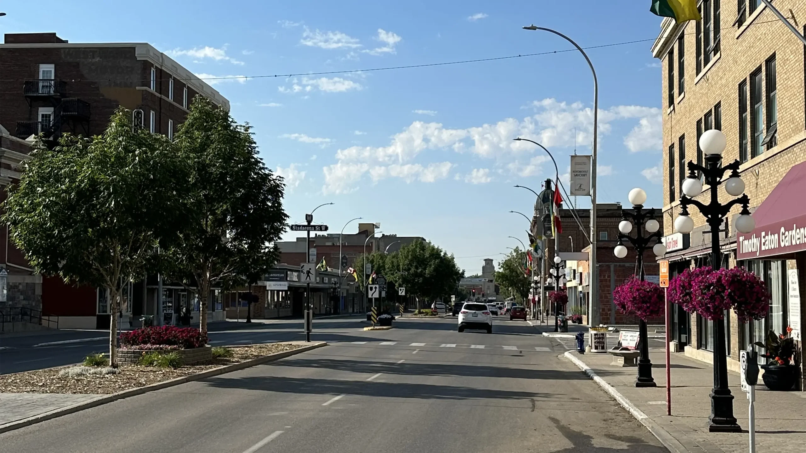
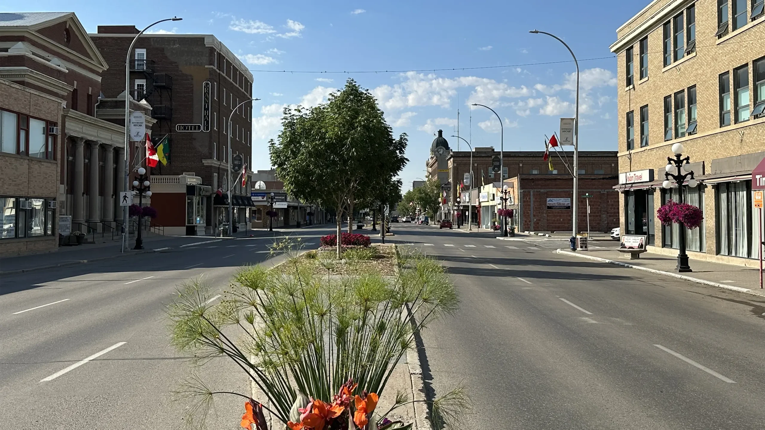
The City of Moosejaw needed a cohesive transportation master plan that addressed vehicle operations, transit, walking, cycling, rail interfaces and asset renewal, while recognizing the domino effect that can happen when one of these components changes.
KGS Group completed a city-wide, evidence‑based review through coordinated micro‑studies. The work assessed operations, multimodal gaps, school‑area safety, asset condition and signals, then integrated findings into a single, actionable plan with clear priorities and phasing over the next 10 years.
The plan provides a prioritized program for corridor upgrades, active transportation connections, transit improvements, school‑area safety measures and pavement/sidewalk renewal, giving Moose Jaw a practical path to meet mobility needs over the next decade. The plan aims to deliver a safe, efficient, and sustainable system that serves residents, businesses and visitors, aligning day‑to‑day mobility with long‑term growth.
The final plan will serve as a blueprint for decision-makers, guiding investments in transportation infrastructure and ensuring that Moose Jaw remains a vibrant and connected community for years to come.
Project Highlights
- Traffic operations review of over 50 intersections, traffic flow improvements identified along four arterial corridors, assessment of over 25 railway crossings for control and signage requirements
- Safety review of all 20 schools in Moose Jaw
- Block-by-block pavement condition review of over 220 km of roadway
- Ensured community feedback from over 40 organizations through two online surveys, a public open house and updates to City Council and staff members, with an emphasis on safe, accessible and sustainable mobility choices
- Developed over 70 recommendations in a phased implementation strategy, including immediate-, short-, medium-, and long-term actions to address current and future transportation challenges
Arcola Avenue Corridor Study
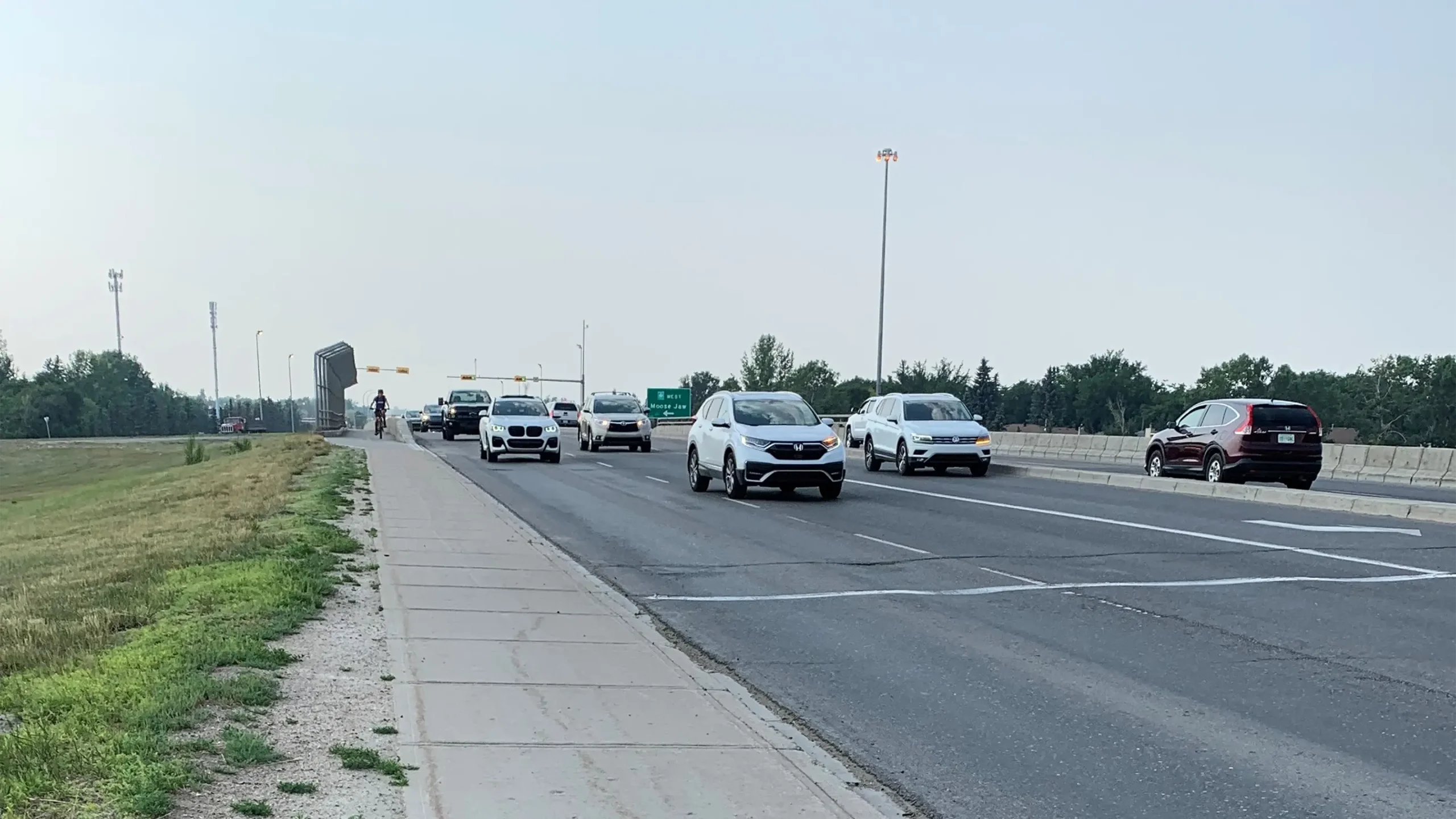
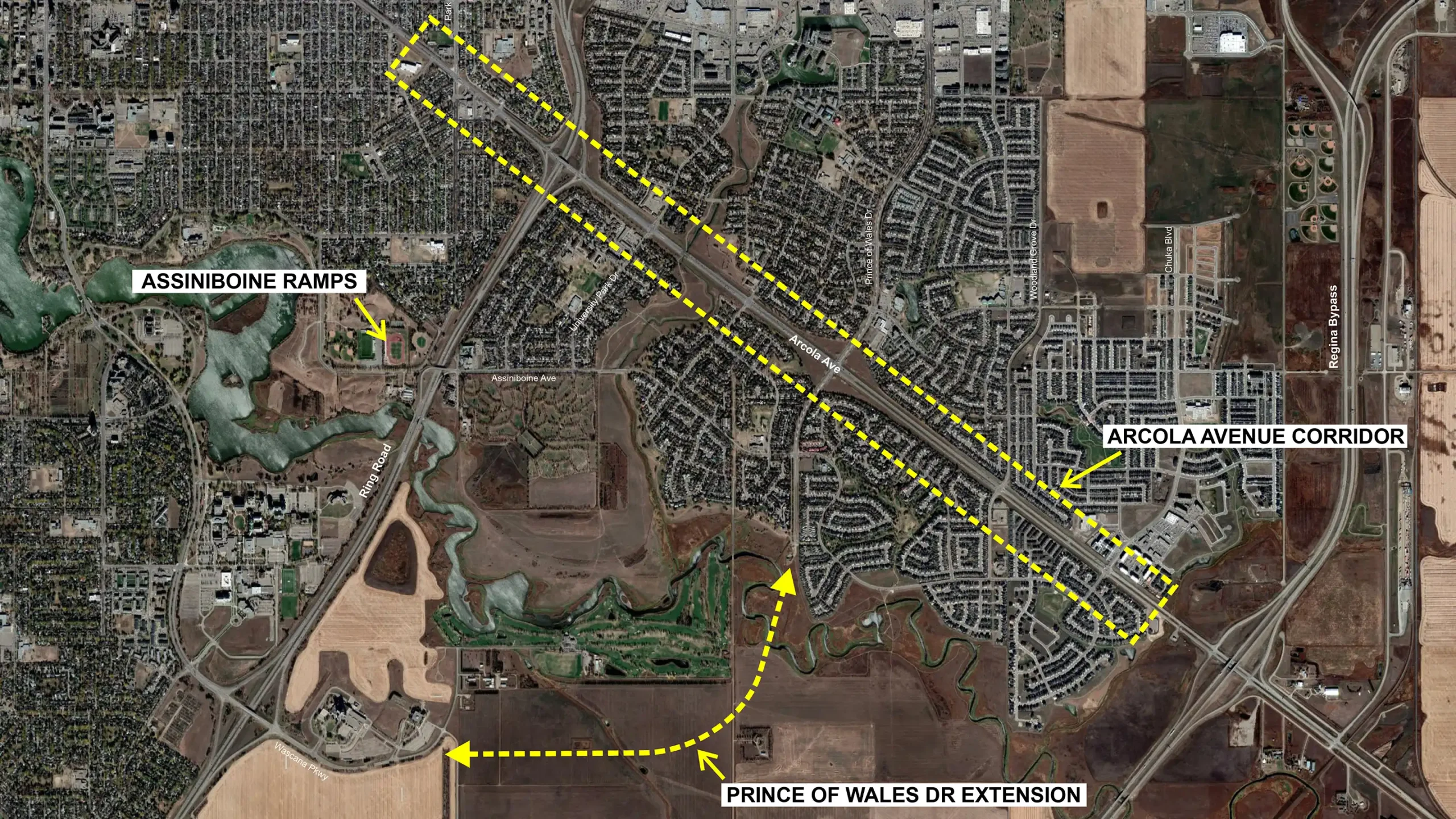
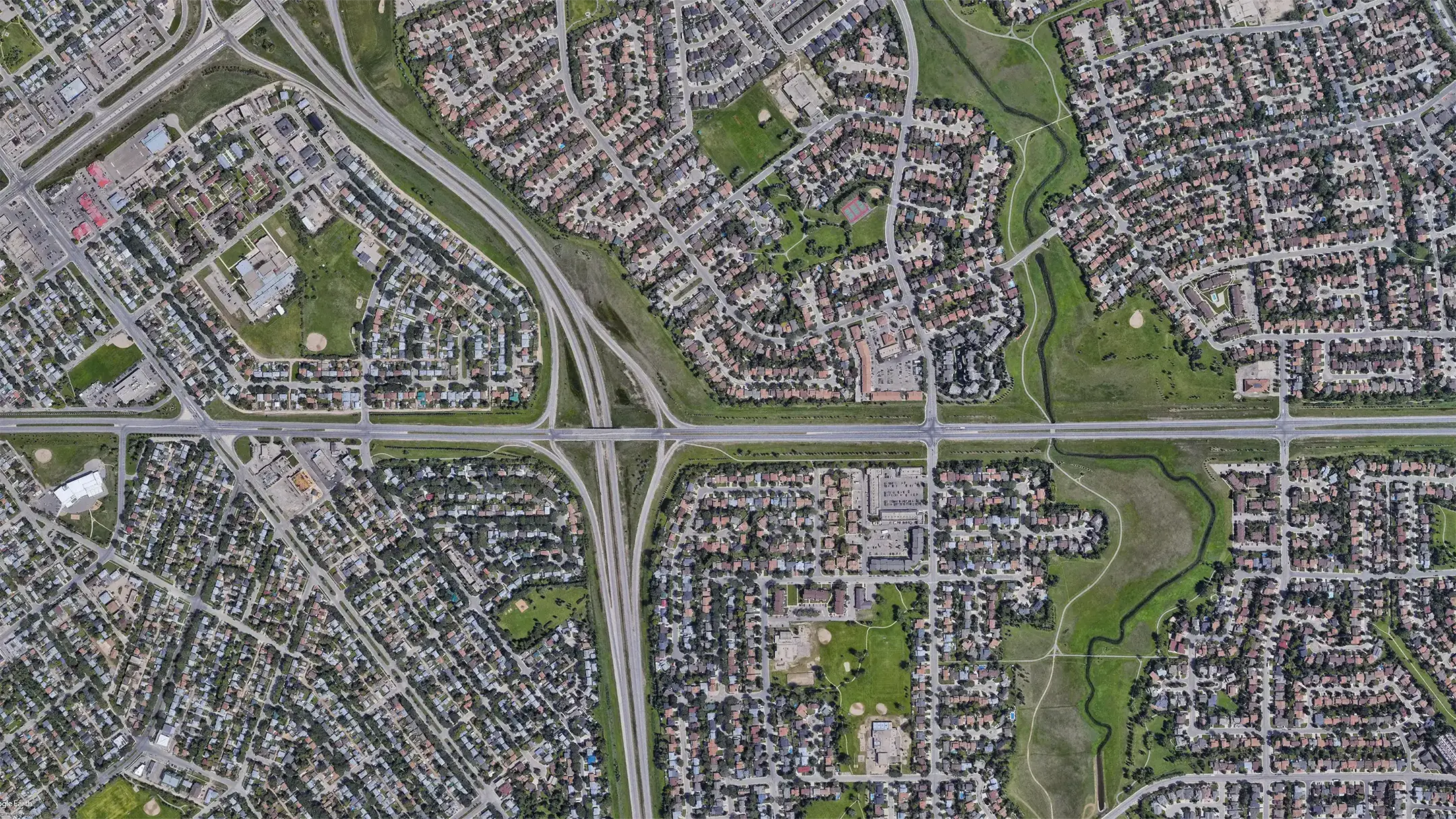
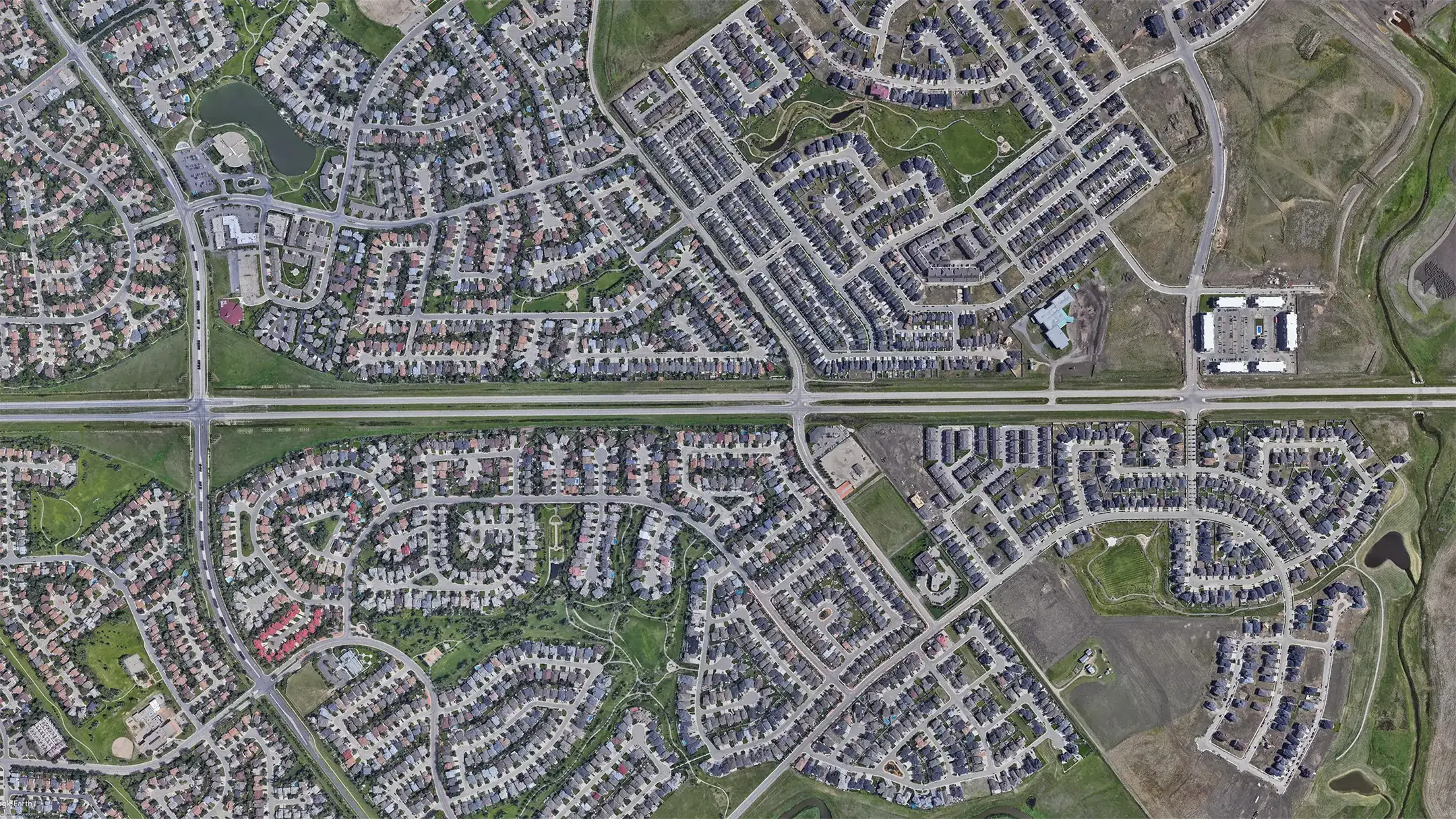
The Arcola Avenue corridor in southeast Regina, Saskatchewan serves 45,000 vehicles each day. Due to rapid residential growth in the surrounding area, the City of Regina wanted to establish a plan that addressed both existing traffic and future travel needs considering the anticipated population growth. The need for this assessment was compounded by the fact that there are limited alternative routes to access southeast Regina.
The scope of this study included traffic forecasting and micro simulation and detailed examination of transit, cycling and pedestrian needs. Additional consideration for how one network change could impact signal timing at other intersections and change commuter travel paths in the network was also studied. Further, several surrounding network changes, that could impact the recommendations for this important corridor, were explored in the study.
The study identified a future plan for the Arcola Avenue corridor operation, including a recommended interchange layout that would serve future travel demand for this growth area. Recommendations covered active modes improvements (pedestrian, bike, and transit), geometric improvements, signal timing changes, and new roadway infrastructure required to reach a 300,000-population horizon for Regina.
Project Highlights
- Traffic forecasting and scenario development using observed volumes of 45,000 vehicles per day
- Active transportation improvements plan
- Signal timing and coordination updates
- Turn lanes, auxiliary lanes, channelization and intersection reconfiguration for safety and throughput
- New roadway infrastructure recommendations to distribute demand and improve network resilience in southeast Regina
- Short‑, medium‑ and long‑term sequencing aligned with growth and funding readiness
University of Manitoba Roadway Capital Improvement Program – Fort Garry Campus
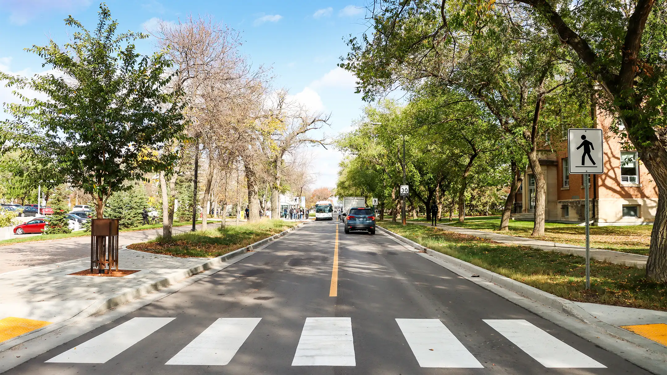
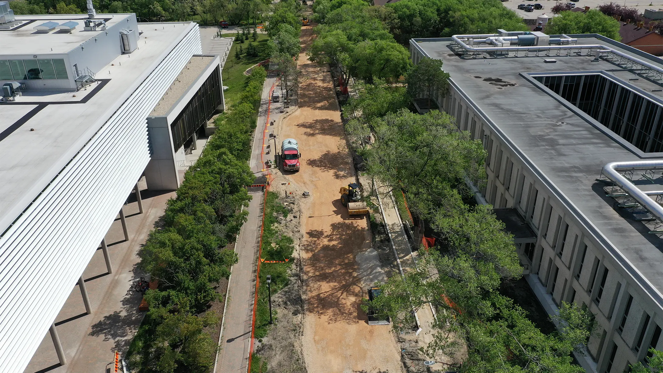

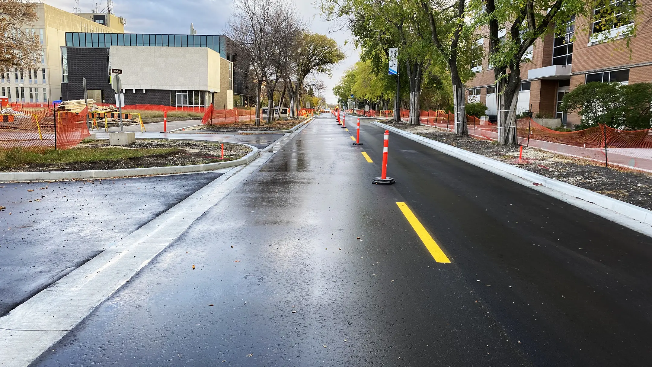
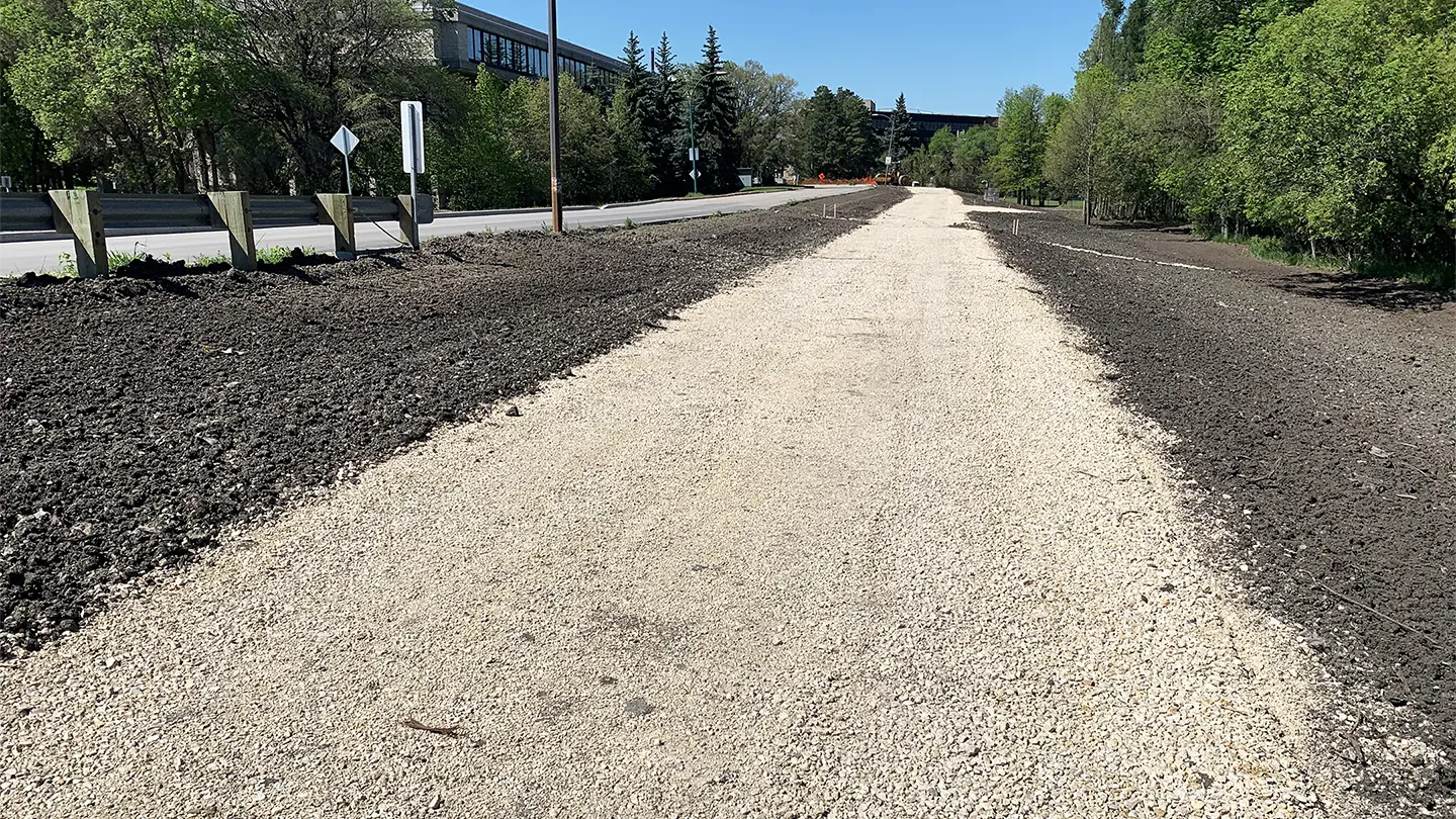
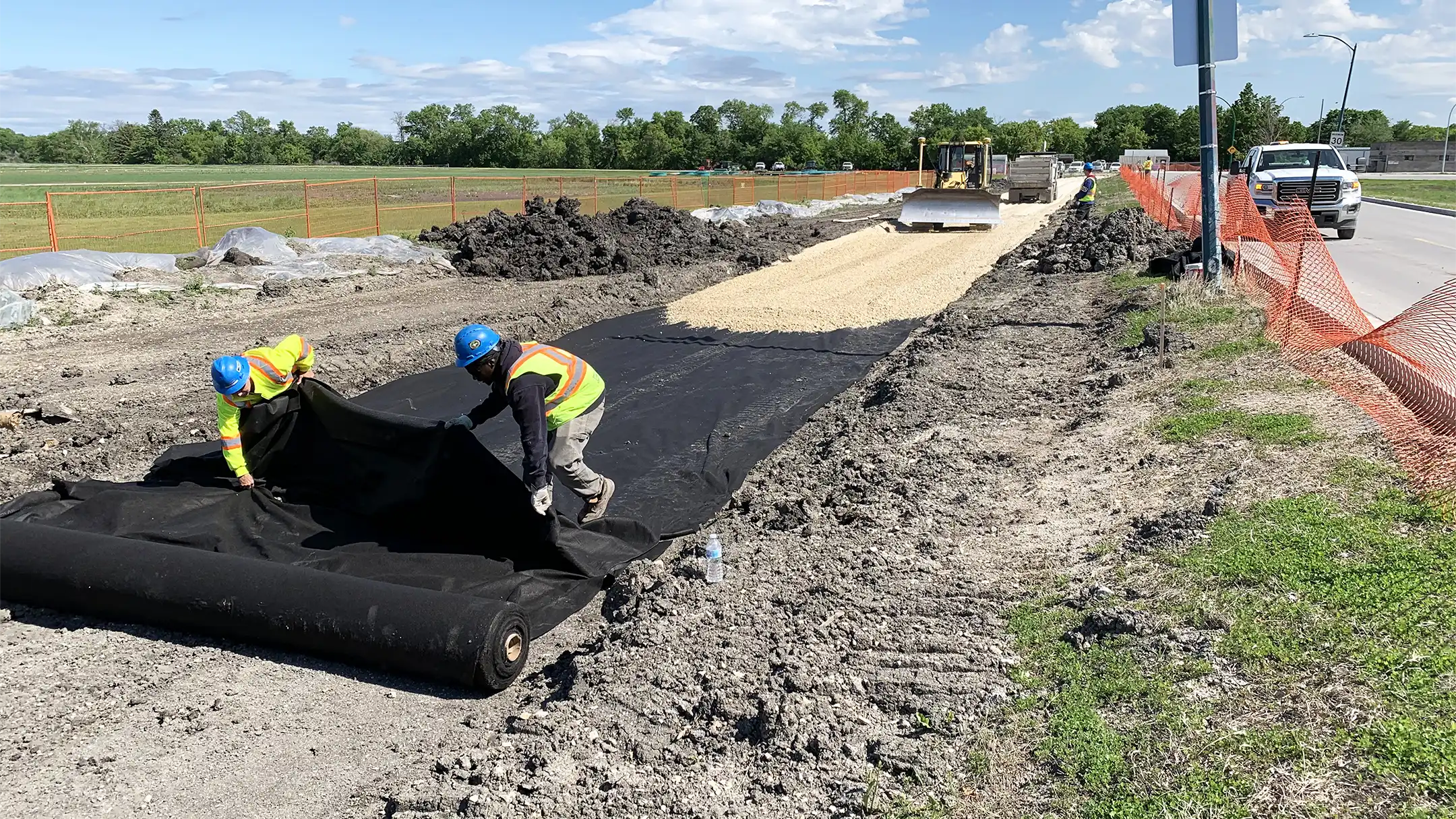
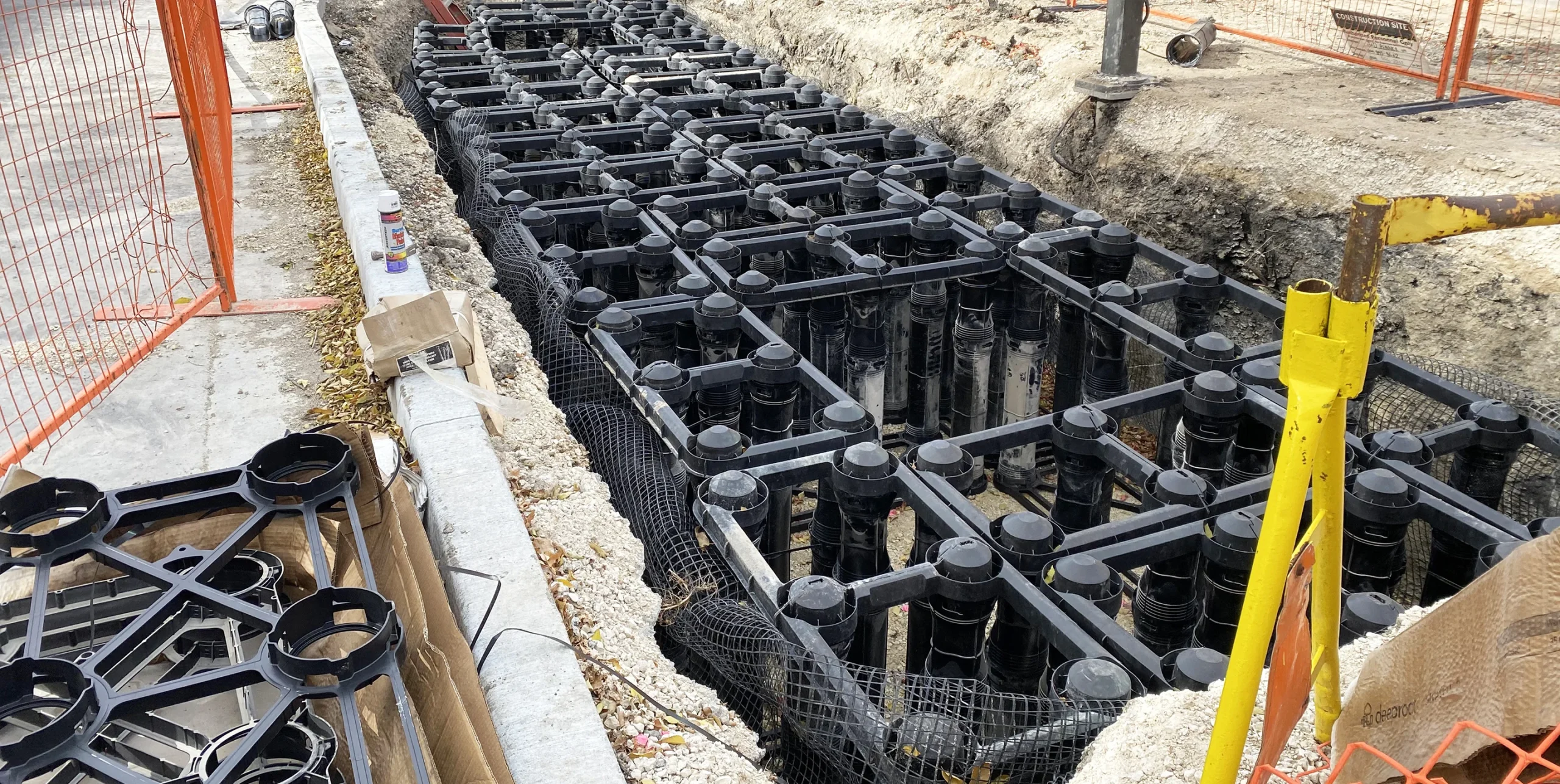
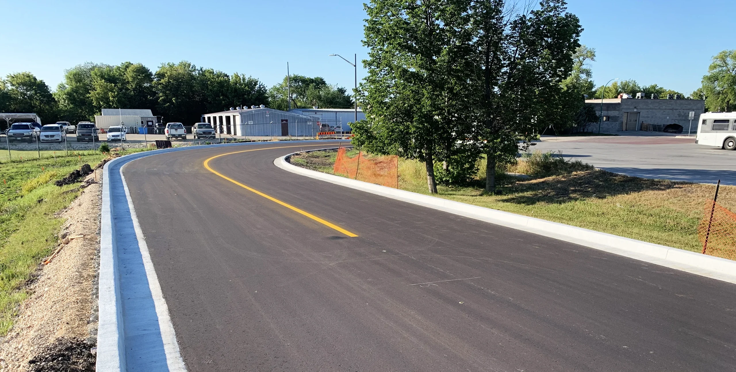
A multi-year endeavour, the University of Manitoba’s Roadway Capital Improvement Program involved the renewal of an aging roadway network throughout the entire Fort Garry Campus. KGS Group was retained to reconstruct 6-lane‑kilometres of urban and rural roads to deliver a more durable, accessible and attractive public realm. The program integrated extensive streetscaping to enhance mobility and the campus experience for everyone.
KGS Group provided project management, design and contract administration with careful phasing to minimize disruption, combining geotechnical and topographic investigations with condition assessments to define repairs, optimize asphalt and concrete pavement structures, and align pathway routes to serve key campus destinations. KGS Group also delivered comprehensive underground utility renewal to improve reliability, serviceability and long‑term performance.
Project Highlights
- Reconstructed 6-lane‑km of urban and rural campus roadways
- Constructed 1.75 km multi‑use pathway
- Installed Broadway paver sidewalks to upgrade pedestrian corridors
- Planted street trees and installed custom benches
- Optimized asphalt and concrete pavement structures
- Relocated traffic signals and delivered campus signage plans to improve wayfinding and safety
- Renewed water mains and sanitary sewers
- Installed land drainage system to support urban trees and stormwater management
- Developed comprehensive renewal designs for water mains, sanitary sewer, land drainage with modular suspended pavement system, steam and condensate lines, chilled water and pre-cast utility trenching