

Seine Riverbank Stabilization at the Branch 1 Aqueduct
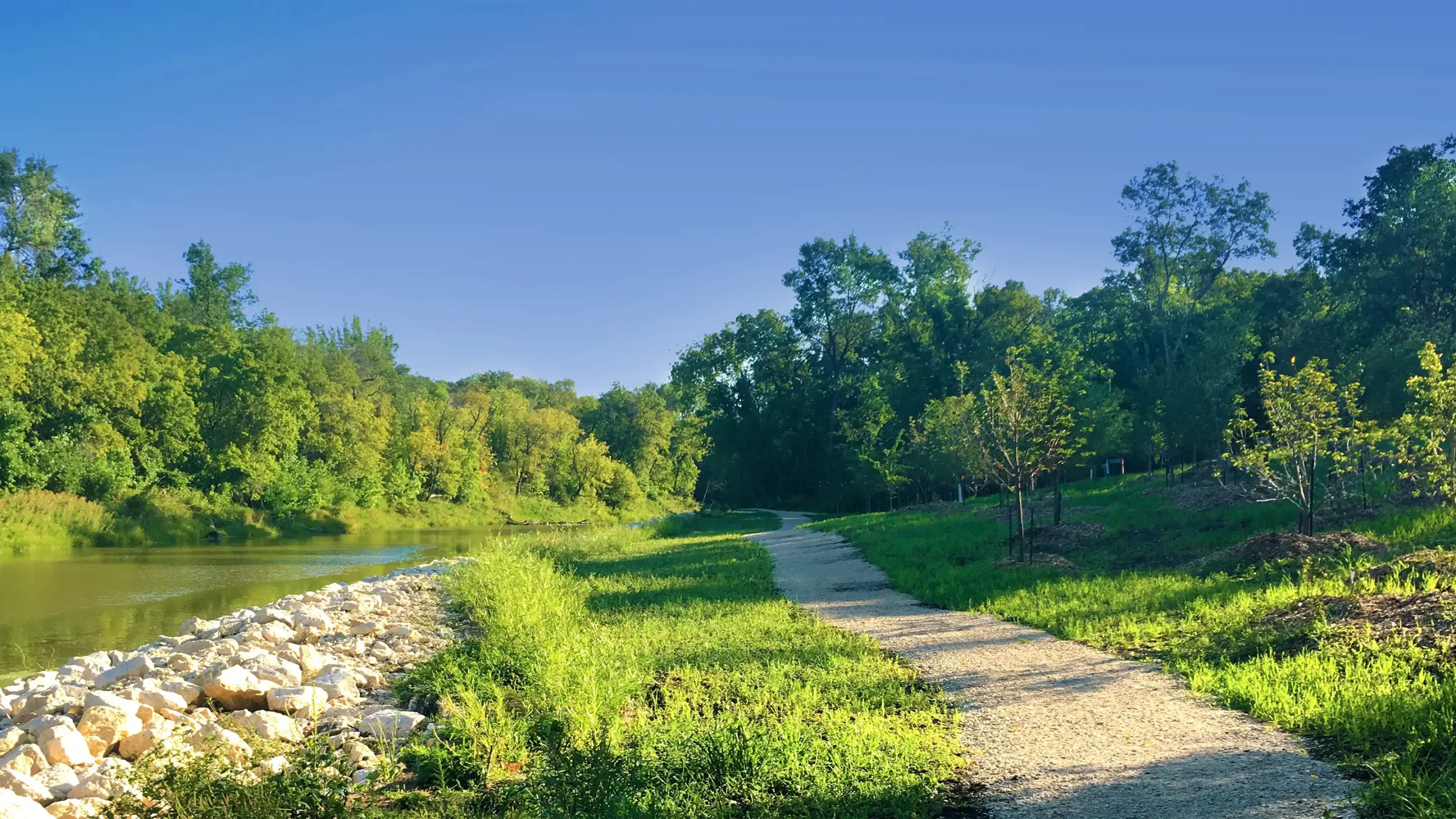
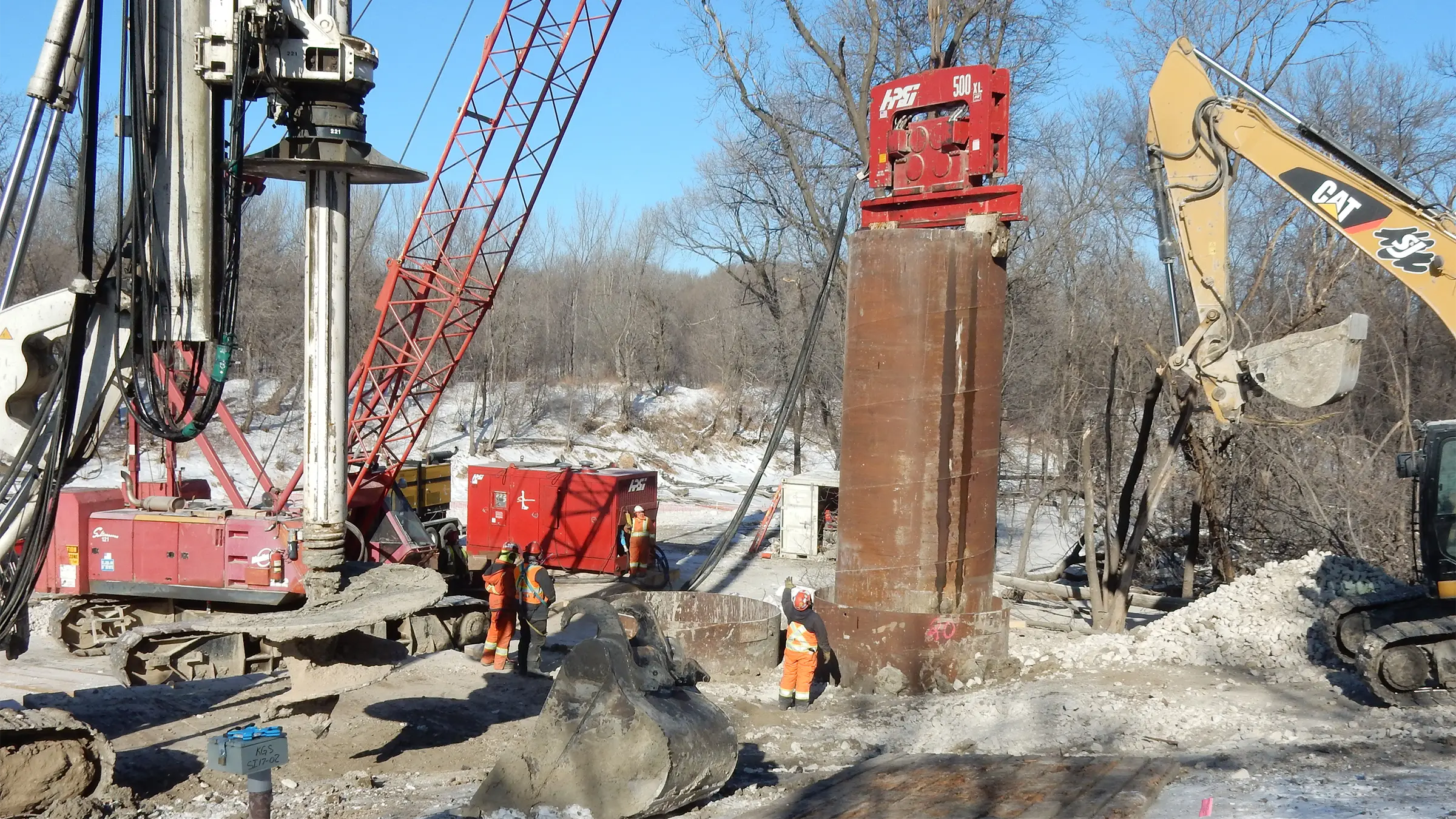
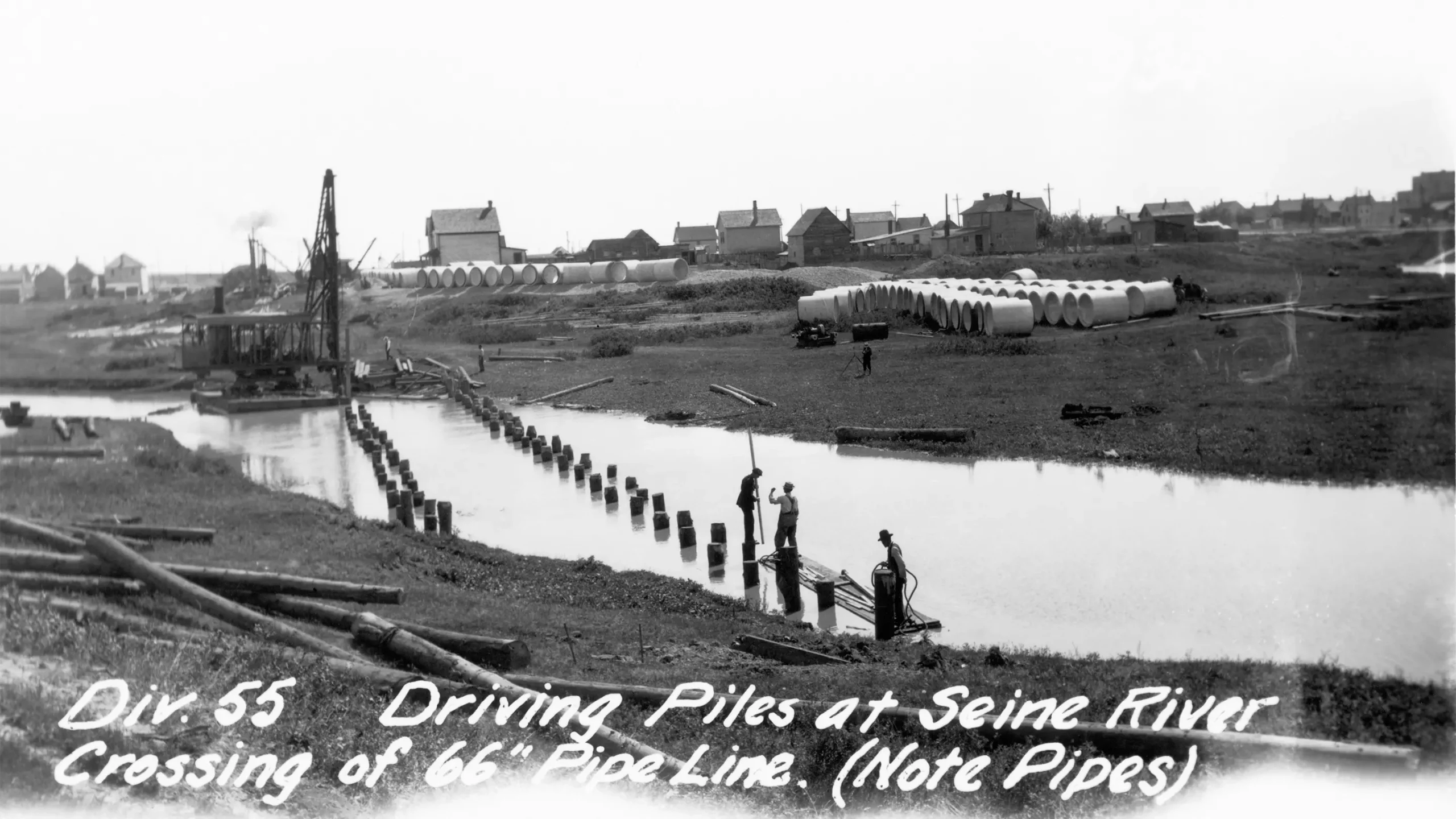
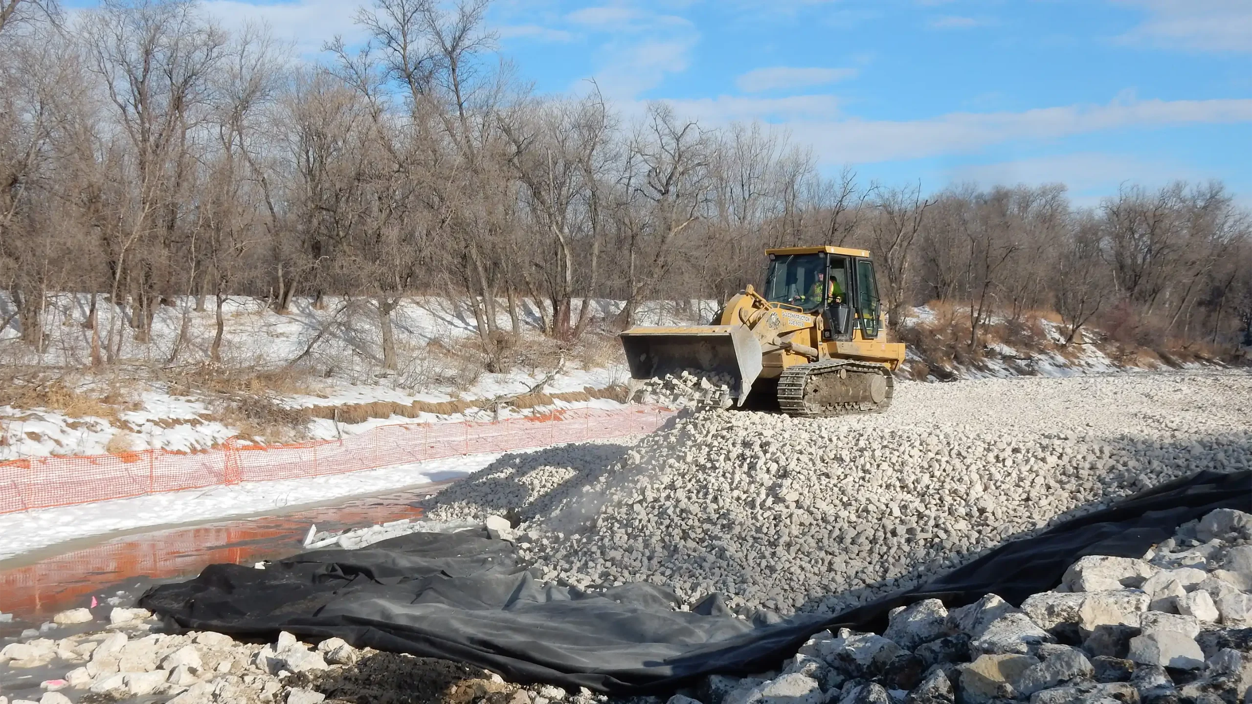
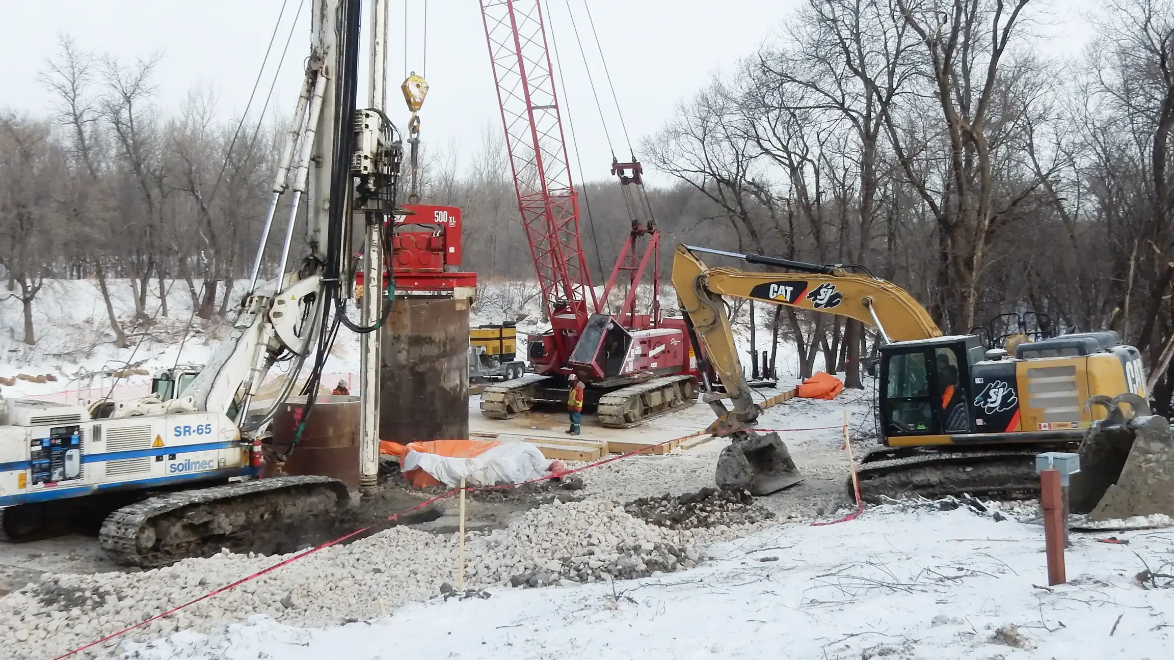
Riverbank movements near the Seine River crossing threatened the City of Winnipeg’s 100‑year‑old Branch 1 Aqueduct, which carries 40% of the city’s drinking water. KGS Group helped stabilize the riverbank while keeping the aqueduct in service throughout construction, protecting a critical supply and reducing risk to the community.
Our team applied an extensive design evaluation process, a full-scale field-testing program, a ground-breaking instrumentation monitoring program and a highly prescriptive construction methodology to manage risk at each stage of construction.
This approach required more intensive engineering but reduced the construction timeline by one full year and resulted in significant project cost savings. After the stabilization work was completed, a complete revegetation project ensued, ensuring the area was ready for community use for years to come.
Project Highlights
- Planning, design, geotechnical evaluation, construction oversight, monitoring and stakeholder coordination
- Advanced instrumentation program and prescriptive construction sequencing
- Project timeline was completed one year ahead of schedule, leading to significant cost savings
- The site was restored and revegetated, improving the public realm and long‑term resilience
University of Manitoba Fort Garry Riverbank Asset Management
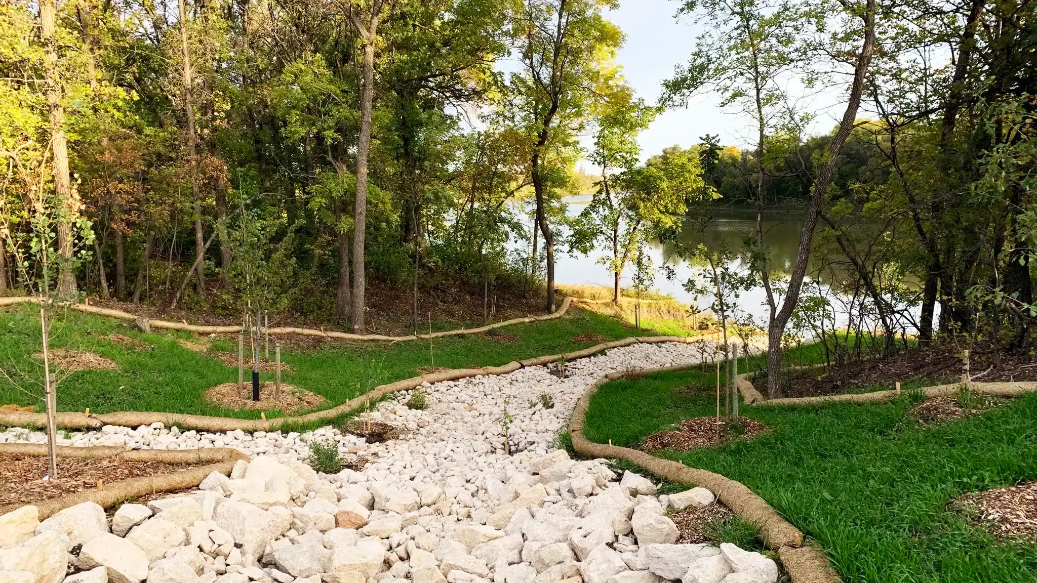
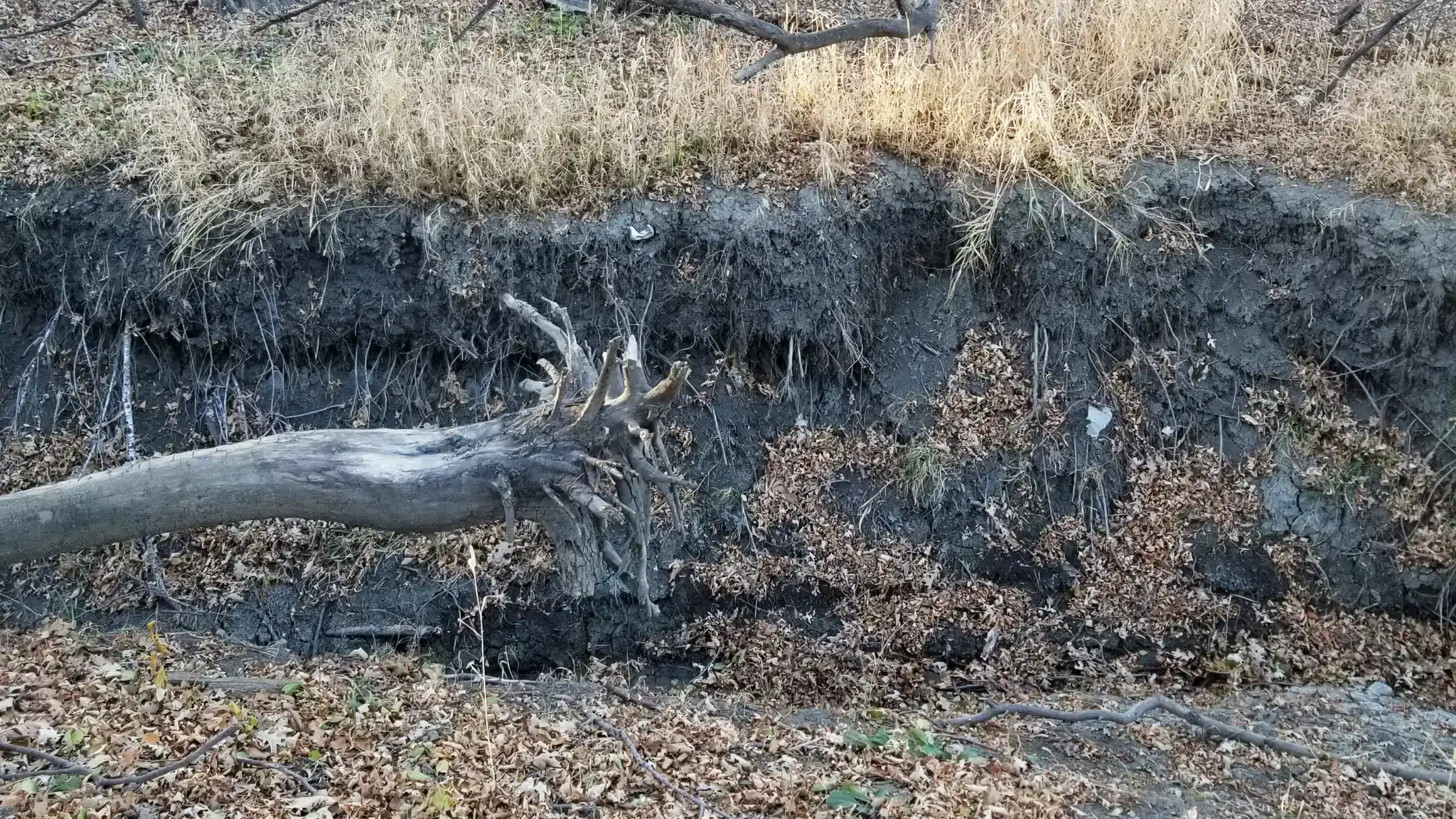
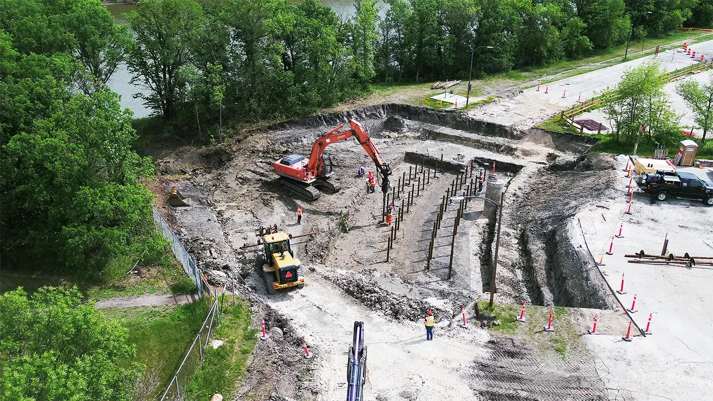
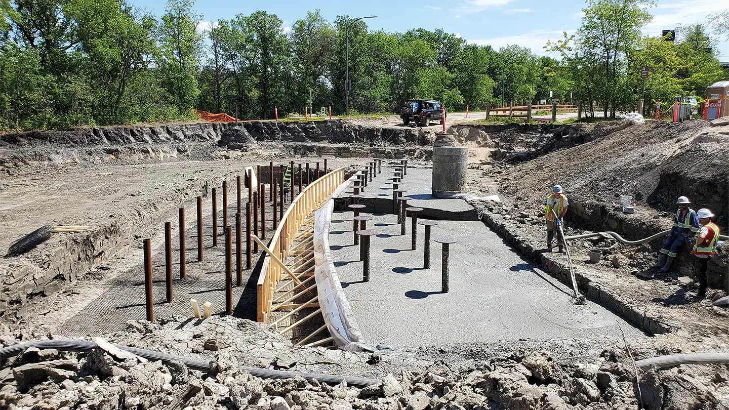
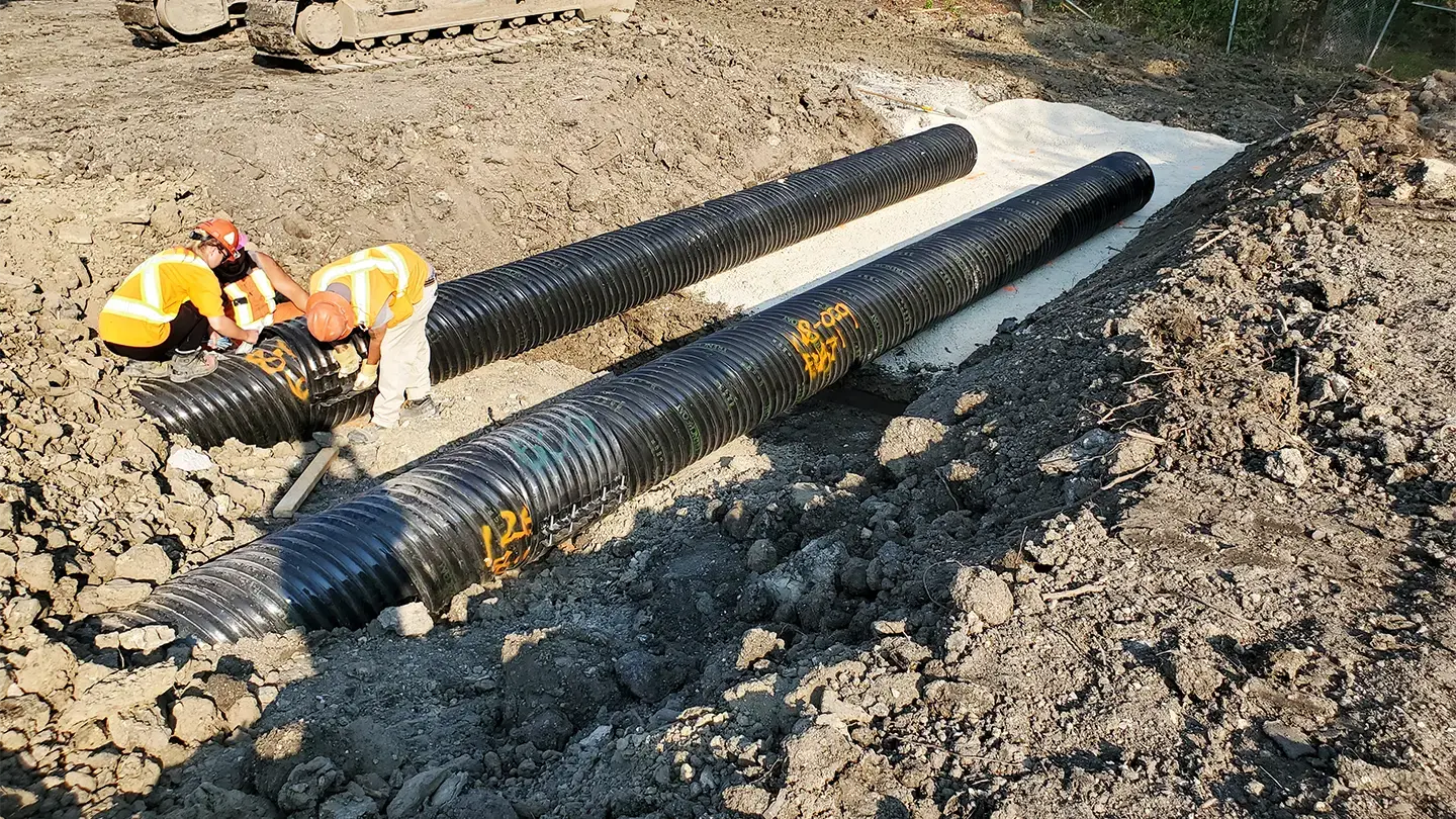
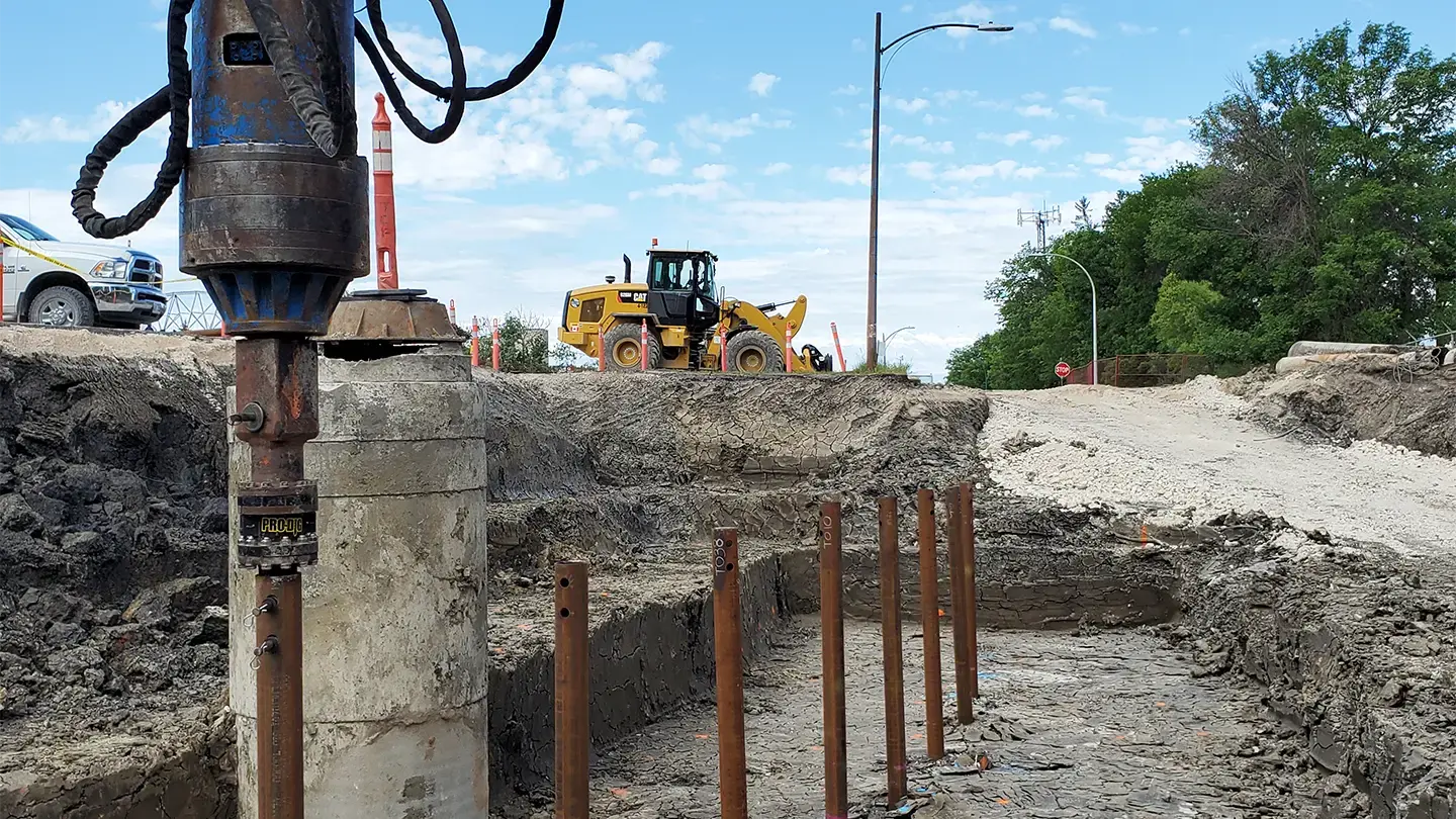

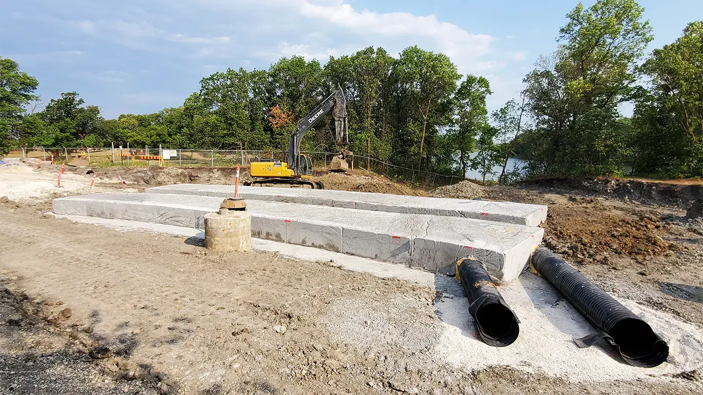
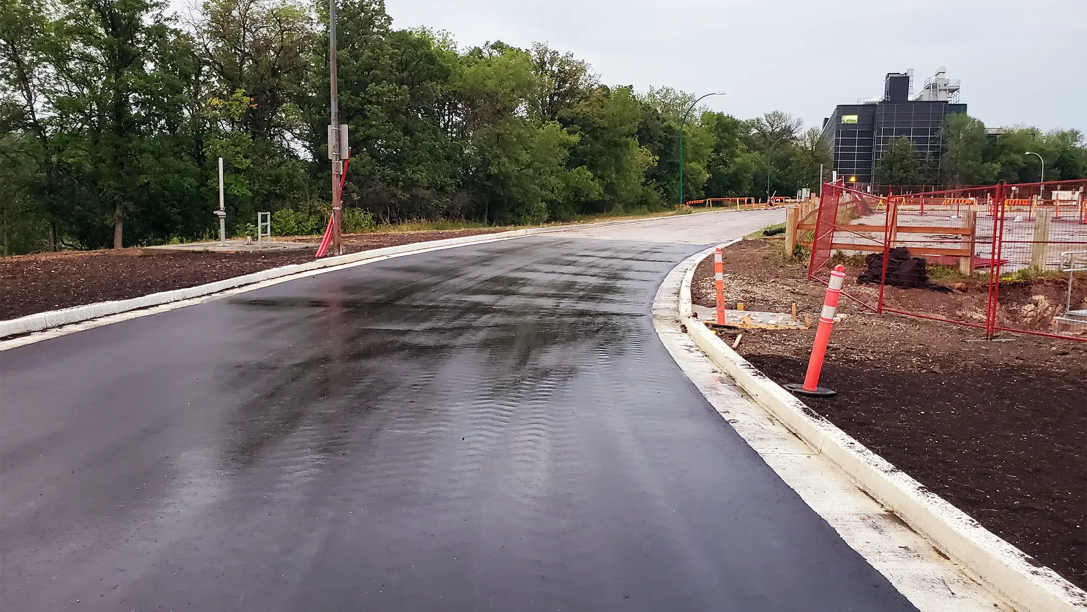
On the northwest side of the University of Manitoba Fort Garry Campus, which is located on Treaty 1 Territory, 600 meters of Sifton Road along the Red River acts as the Primary Line of Defense (PLD) dike, protecting the City of Winnipeg from flooding. Along the riverbank, ongoing and uncontrolled surface water discharge from Culvert 108 created over-steepened slopes and was threatening the integrity of this portion of Sifton Road.
KGS Group designed an innovative solution to reconstruct Culvert 108, Sifton Road and the PLD dike system. A first for this technology in Winnipeg, the solution used buoyant lightweight fill material anchored with helical piles. Additionally, the land drainage system was redesigned, Culvert 108 was upgraded to prevent future damage and supplemental vegetation was planted. The result was an area that is fully integrated with the surrounding ecosystem and is ready for future use opportunities while protecting the community.
Project Highlights
- Designed a solution to reconstruct Culvert 108, Sifton Road and PLD dike system to restore flood protection and roadway function
- The solution, a first for this technology in Winnipeg, included buoyant lightweight fill anchored with helical piles
- Redesigned the land drainage system to control and safely route surface water, reducing erosive outflows to the riverbank
Crossing Enhancements on Beaver Creek at Historic Fort Ellice
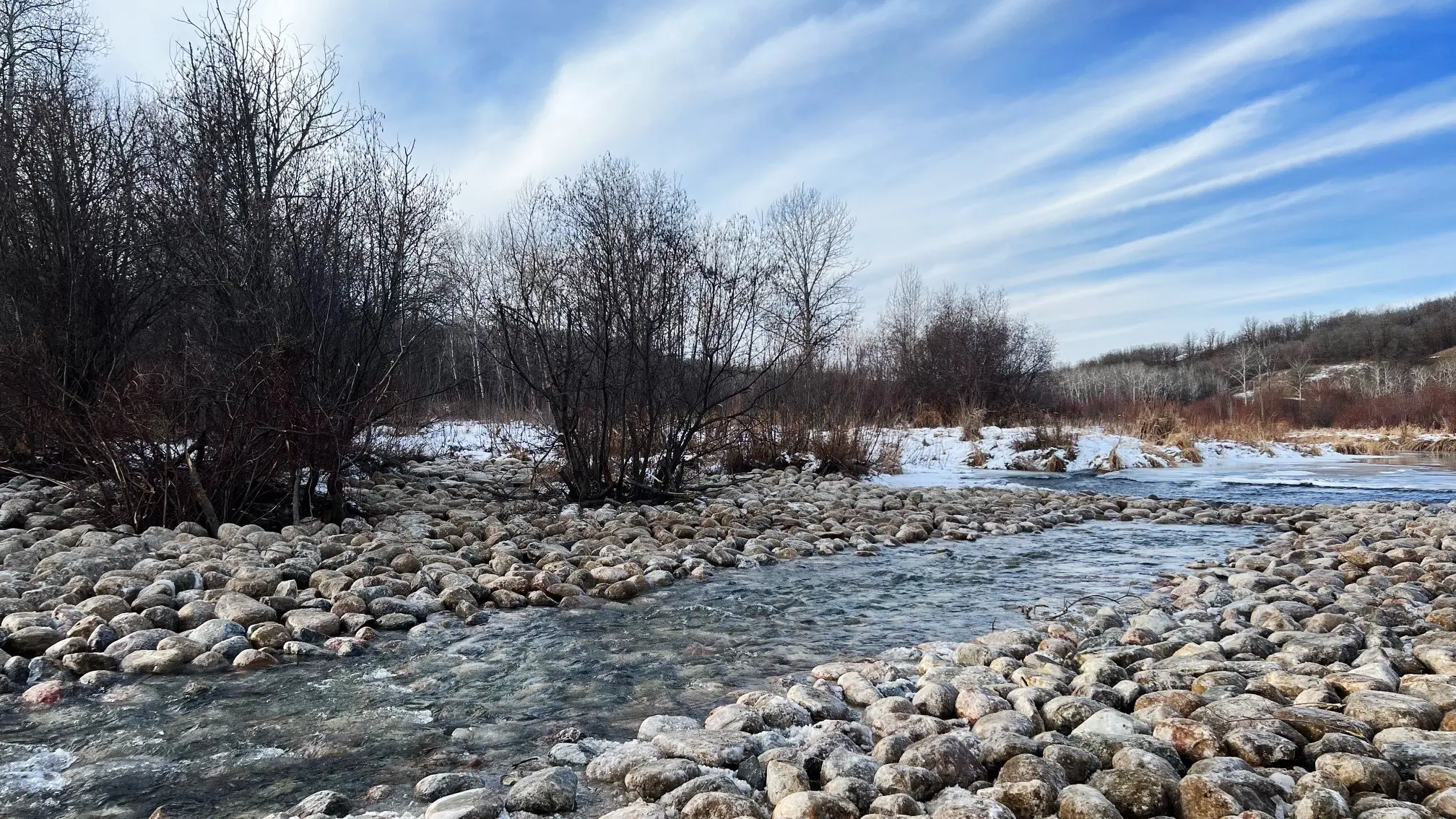
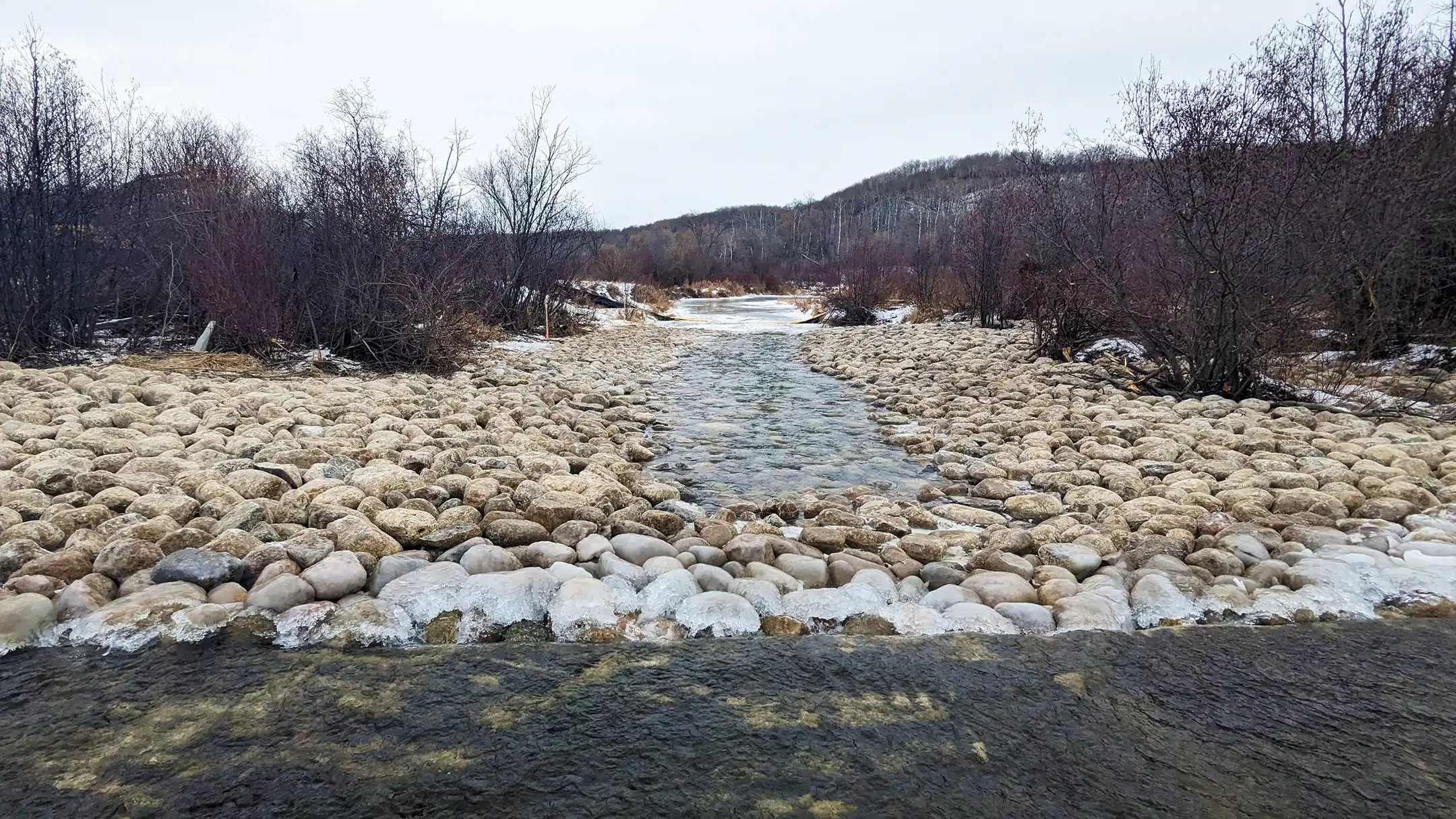
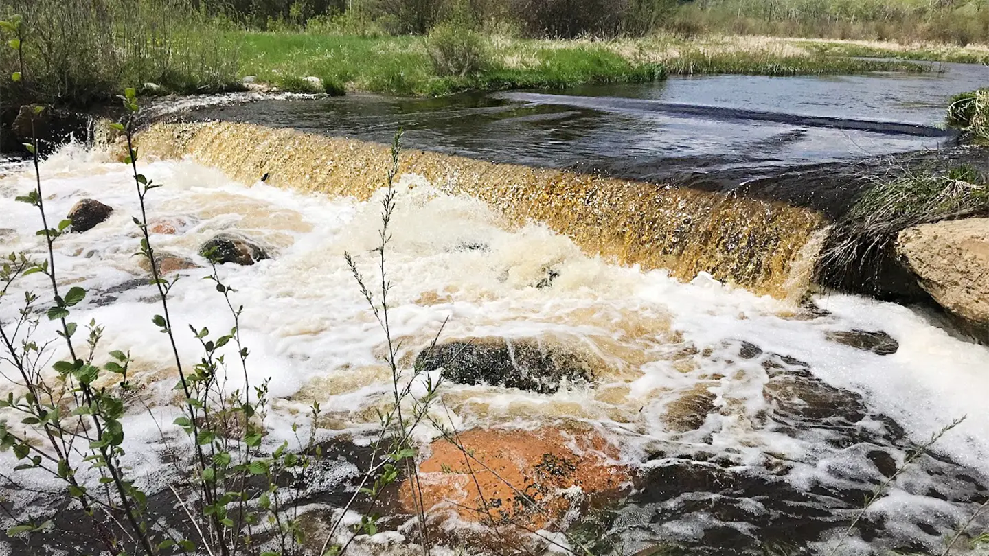
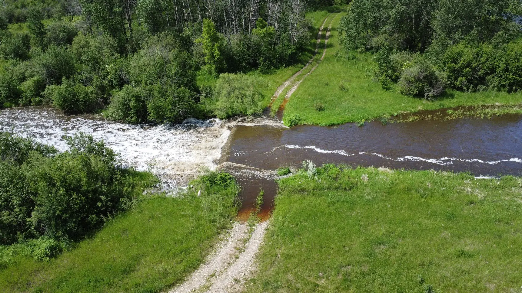
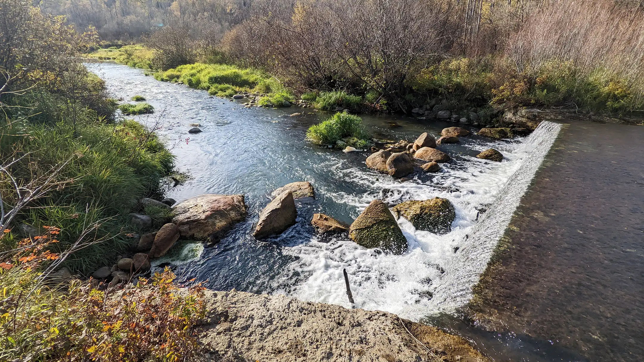
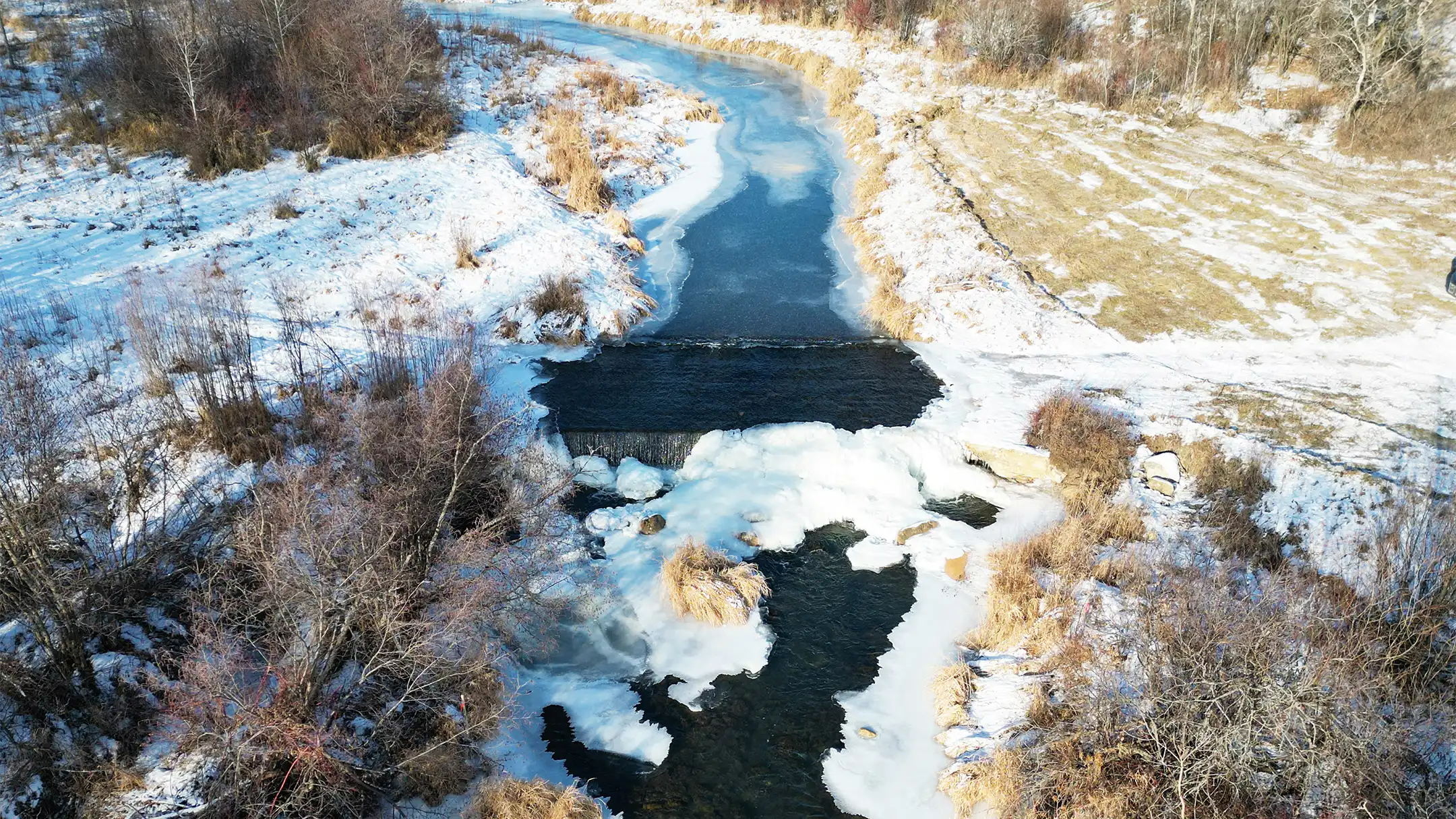
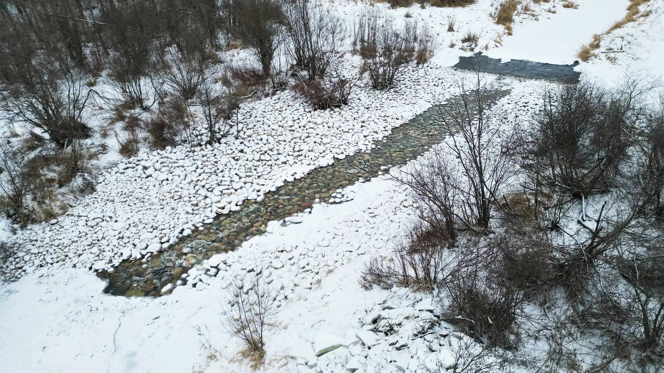
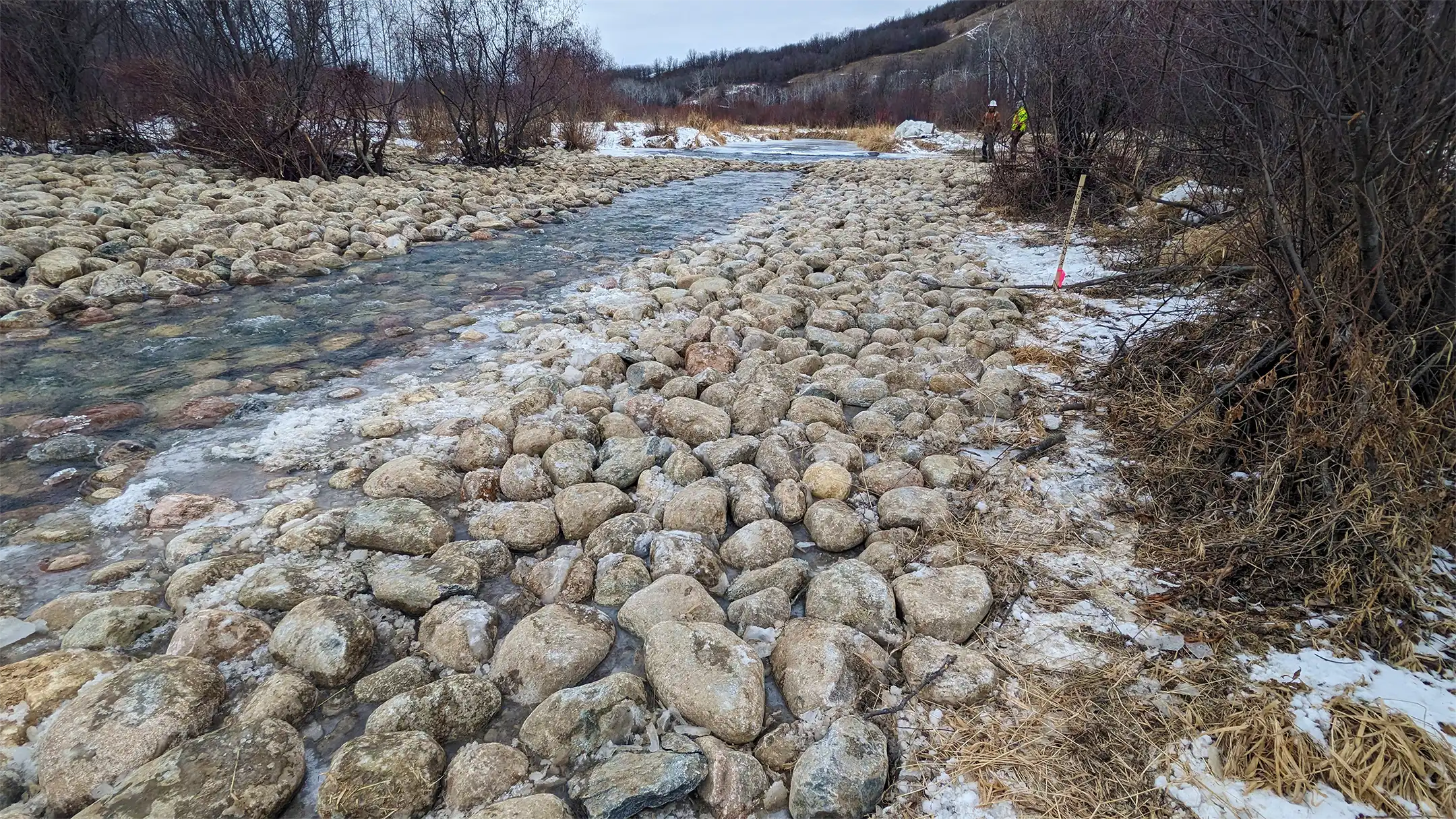
The Crossing Enhancements on the Beaver Creek project aimed to reconcile human infrastructure with the natural environment at the Nature Conservancy of Canada’s Fort Ellice property. The project focused on modifying a concrete ford crossing that impeded fish migration on Beaver Creek, to enhance bi-directional fish passage, maintain structural integrity and minimize ecological disruption.
Collaborative efforts led to the development of a rock ramp, that balanced technical feasibility, ecological sensitivity and regulatory compliance. The rock ramp now serves as a success story for future leaders and caretakers of the land and exemplifies sustainable conservation that combines sound engineering with environmental stewardship.
Project Highlights
- Modified the existing concrete ford crossing to reduce hydraulic barriers to fish movement
- Constructed a naturalized rock ramp to enable bi‑directional fish passage
- Configured ramp geometry and rock gradation to maintain crossing stability while minimizing habitat disruption
University of Manitoba Fort Garry Campus Riverbank Management Study
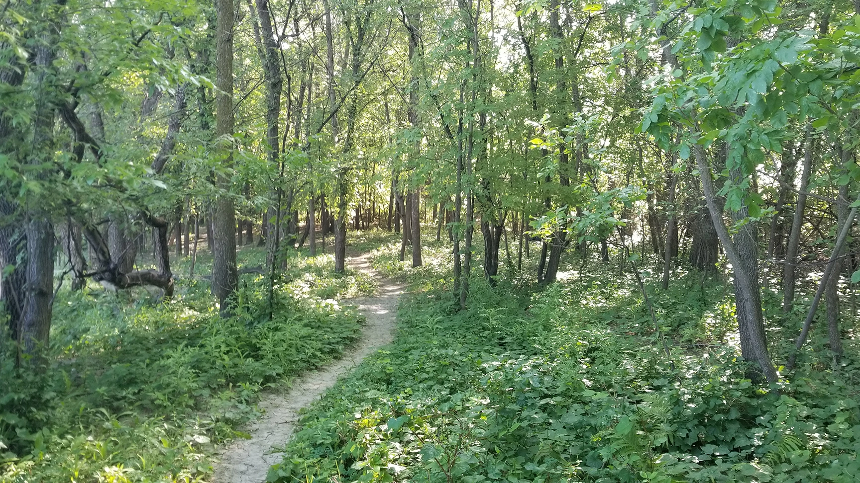
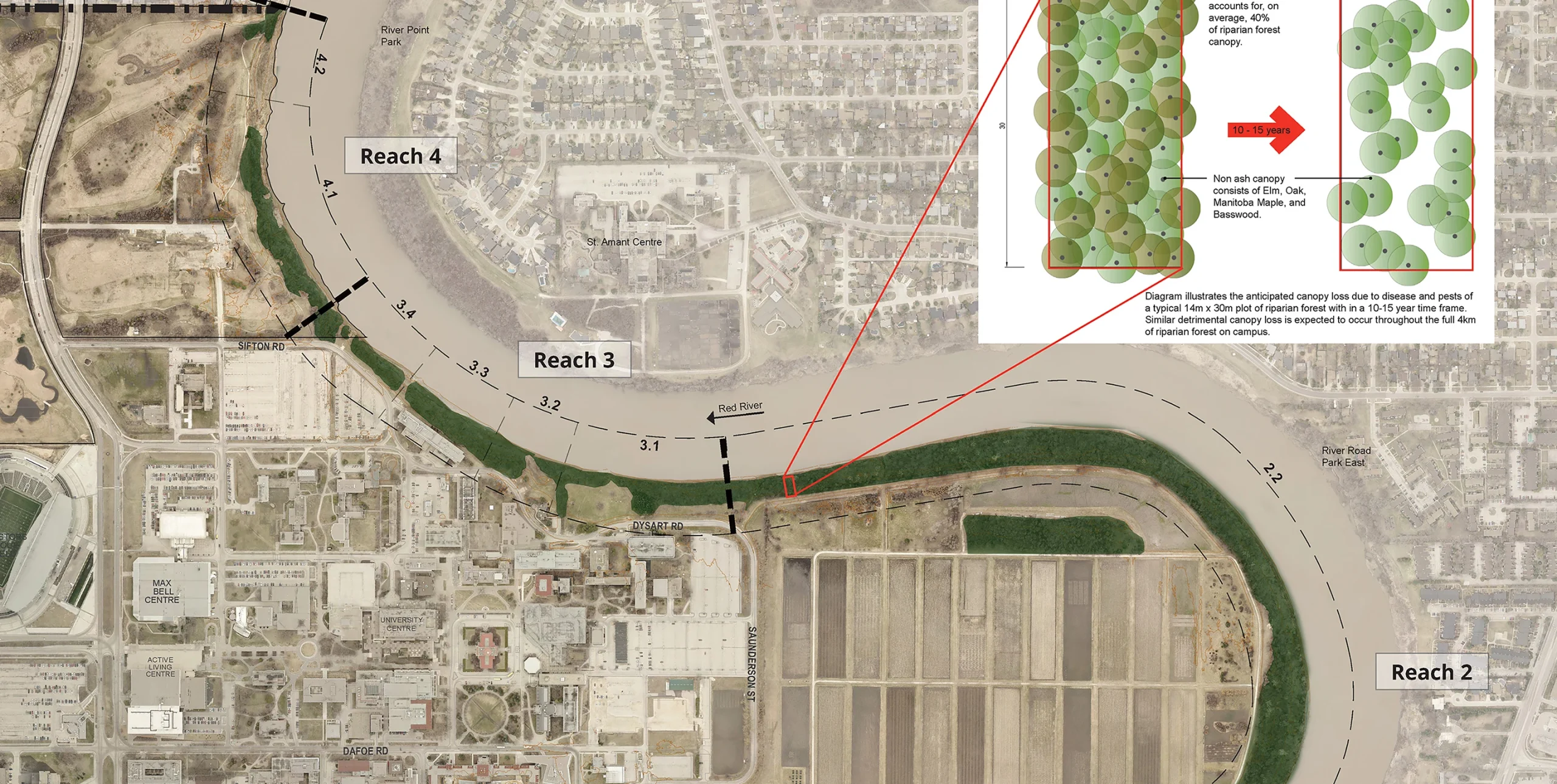
With nearly 4 km of shoreline, the University of Manitoba (UM) Fort Garry Campus is inherently linked to the Red River. The UM has adopted policies to become a leader in ecological, social and economic sustainability to promote a healthier, more active campus while reducing environmental impact.
Aligning with the UM’s sustainability principles, KGS Group provided the university with a 15-year, phased riverbank management strategy that favours restoration of the riparian corridor with naturalized solutions. Integrating geotechnical and ecological concepts, the riverbank management plan is a comprehensive tool to help the university manage risk, promote riverbank health and preserve critical infrastructure. The plan mirrors the dynamic nature of the river, allowing for updates over time to reflect changes to the riverbank and the campus itself.
Project Highlights
- Mapped and segmented 4 km of shoreline to create reach‑based inventories and prioritize restoration actions
- Completed integrated assessments of bank stability, erosion risk, riparian condition and habitat value
- Defined naturalized restoration treatments (e.g., riparian revegetation, bioengineering/soft stabilization, setback planting)