

University of Manitoba Fort Garry Campus Riverbank Management Study
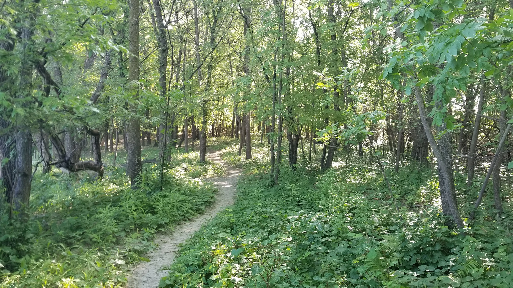
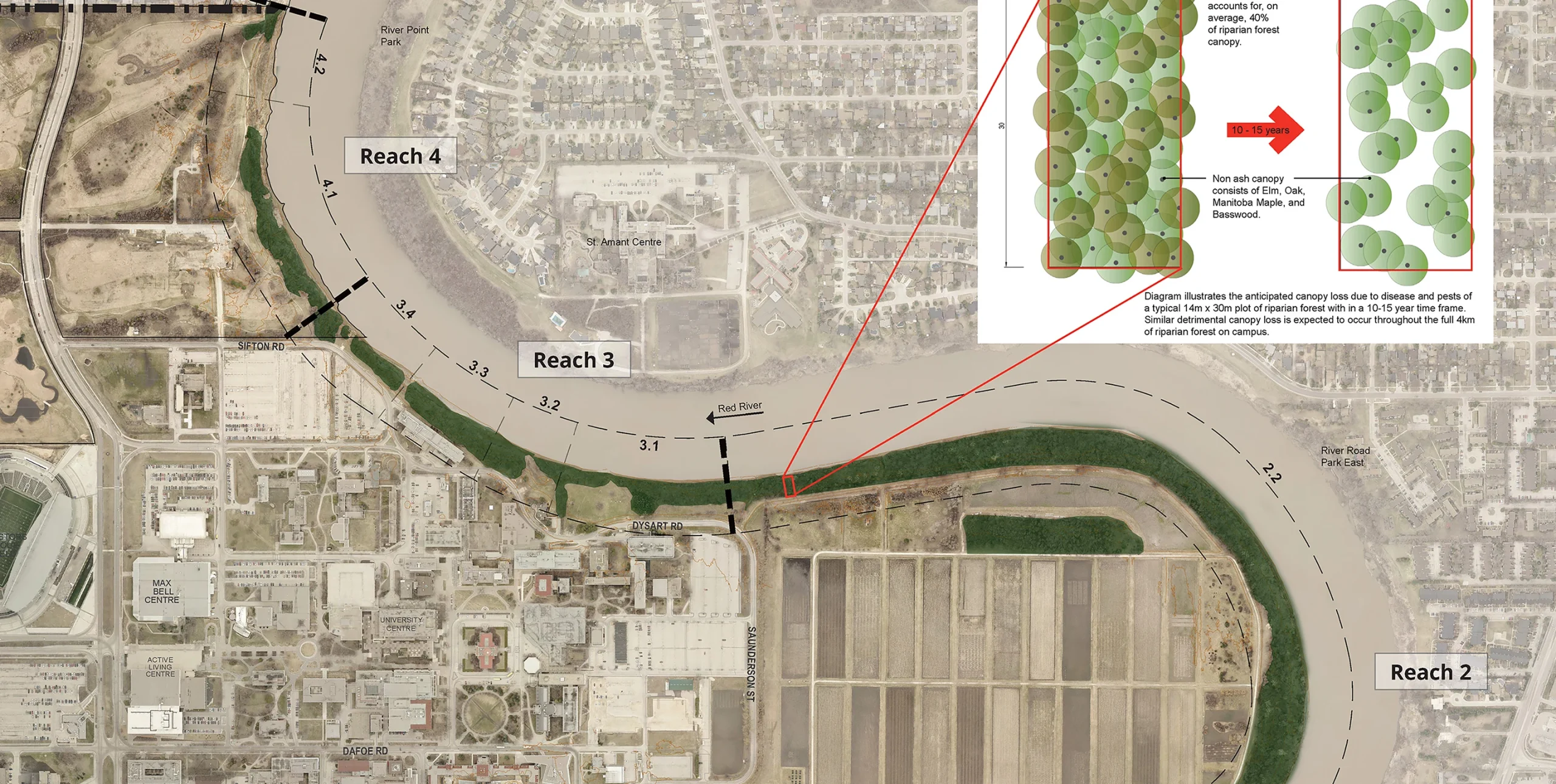
With nearly 4 km of shoreline, the University of Manitoba (UM) Fort Garry Campus is inherently linked to the Red River. The UM has adopted policies to become a leader in ecological, social and economic sustainability to promote a healthier, more active campus while reducing environmental impact.
Aligning with the UM’s sustainability principles, KGS Group provided the university with a 15-year, phased riverbank management strategy that favours restoration of the riparian corridor with naturalized solutions. Integrating geotechnical and ecological concepts, the riverbank management plan is a comprehensive tool to help the university manage risk, promote riverbank health and preserve critical infrastructure. The plan mirrors the dynamic nature of the river, allowing for updates over time to reflect changes to the riverbank and the campus itself.
Project Highlights
- Mapped and segmented 4 km of shoreline to create reach‑based inventories and prioritize restoration actions
- Completed integrated assessments of bank stability, erosion risk, riparian condition and habitat value
- Defined naturalized restoration treatments (e.g., riparian revegetation, bioengineering/soft stabilization, setback planting)
Gillam Subdivision Passive Groundwater Drainage Project
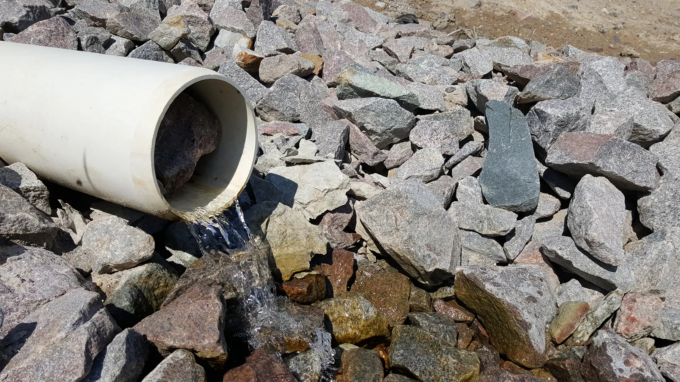
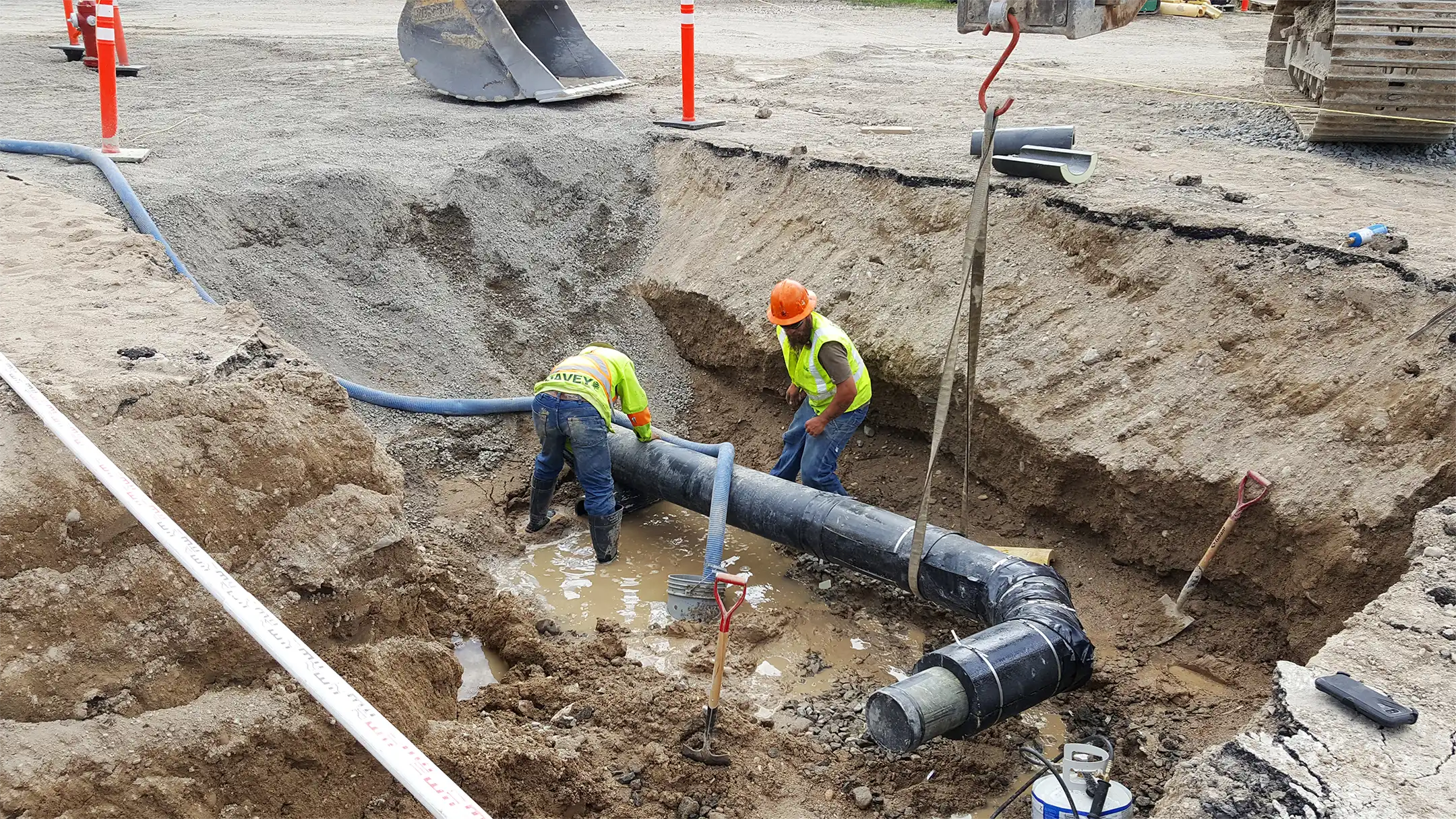
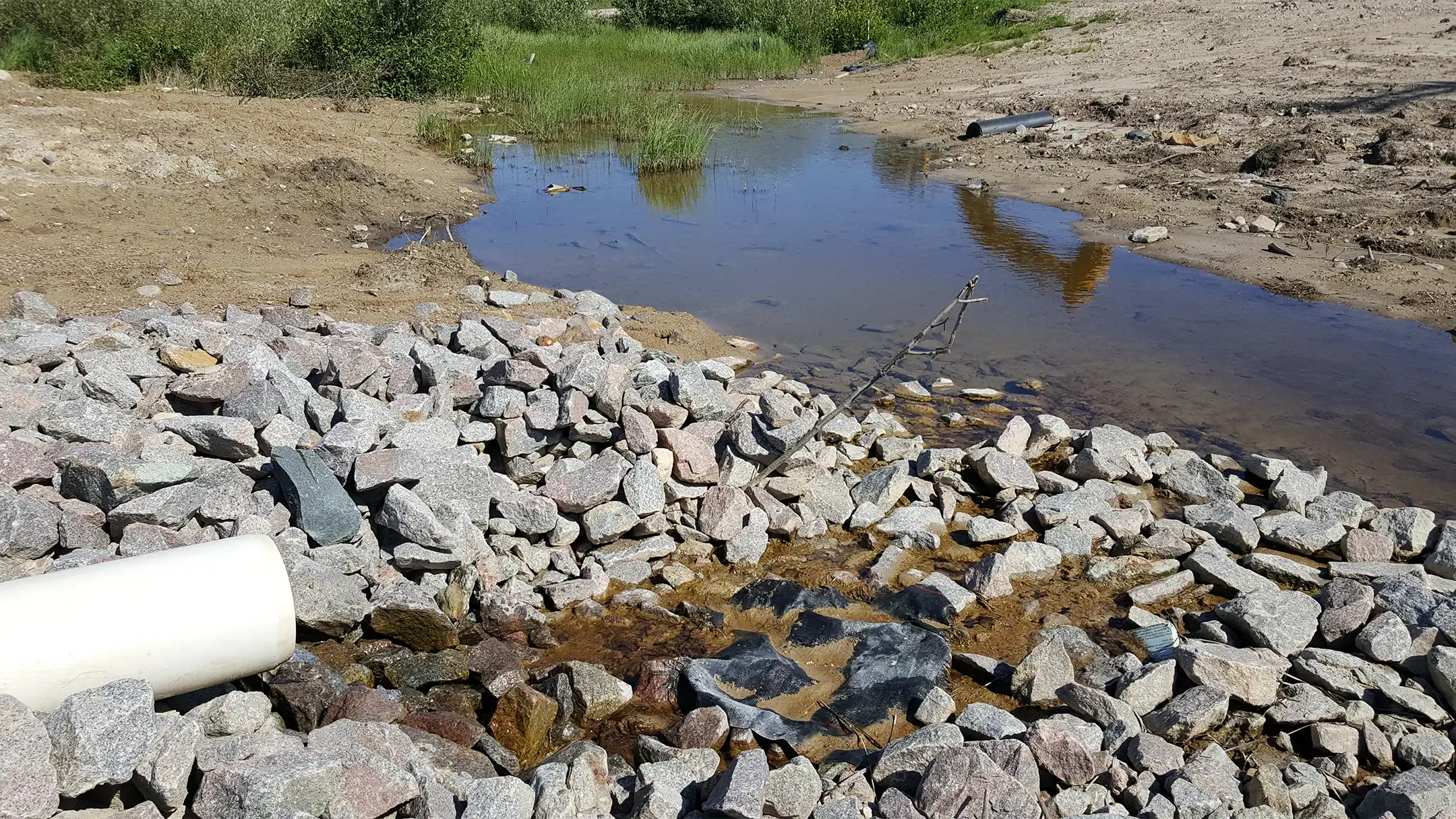
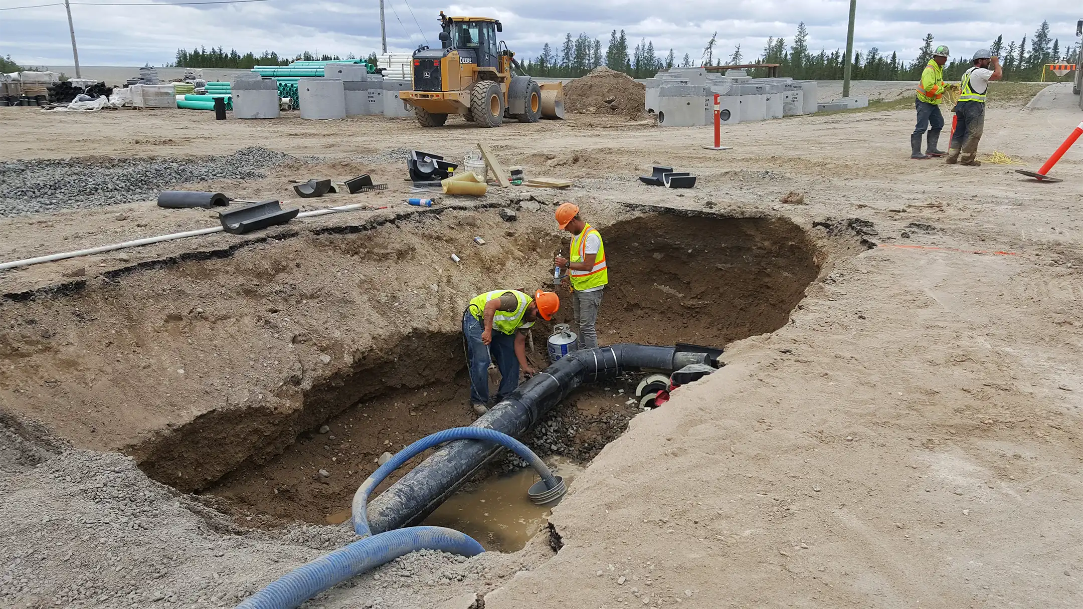
The “Crayola” subdivision in Gillam sits on soil that retains a high groundwater table. Over time, seasonal freezing and elevated groundwater led to disturbance of several structure foundations. To address this persistent issue, KGS Group leveraged the timing of a planned sewer and water infrastructure renewal to design and implement a simple, robust groundwater drainage system.
By using common trench excavation, engineered drainage piping and readily available backfill, the installation of the groundwater drainage system was simplified and optimized. Because there are no moving parts, continuous drainage of groundwater occurs passively by gravity.
Designed within the new sewer and water corridors, the system simplifies future maintenance and construction, while providing easy access points for the interconnection of foundation drainage systems throughout the subdivision.
Project Highlights
- Excavated common trenches within new sewer and water corridors to integrate groundwater drainage
- Installed engineered drainage piping to collect and convey groundwater
- Placed readily available backfill to promote free drainage and protect piping
- Eliminated mechanical components – no pumps or moving parts
- Established future tie‑in locations to enable interconnection of foundation drains across the subdivision
Brandon Third Street Dam Replacement
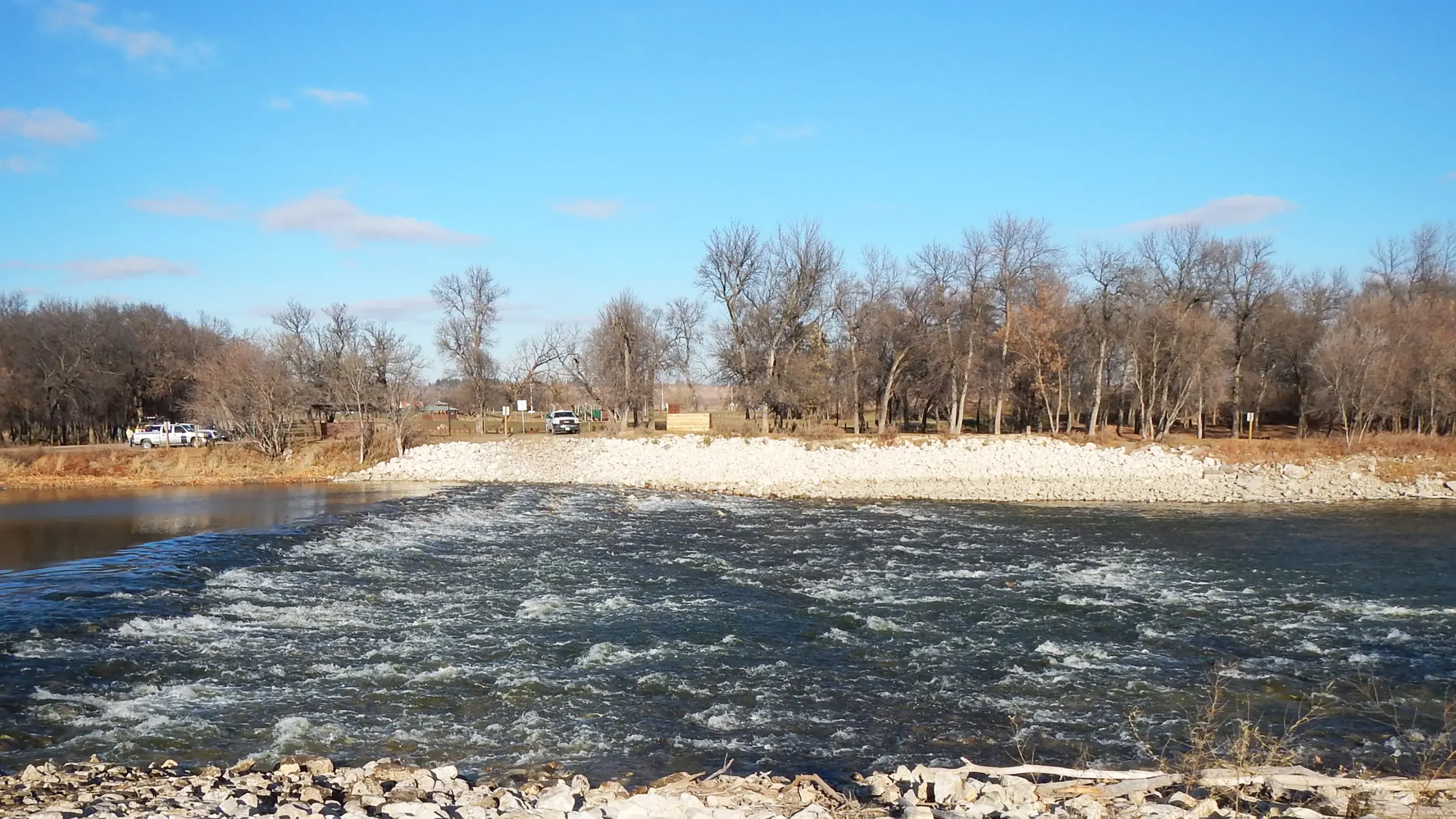
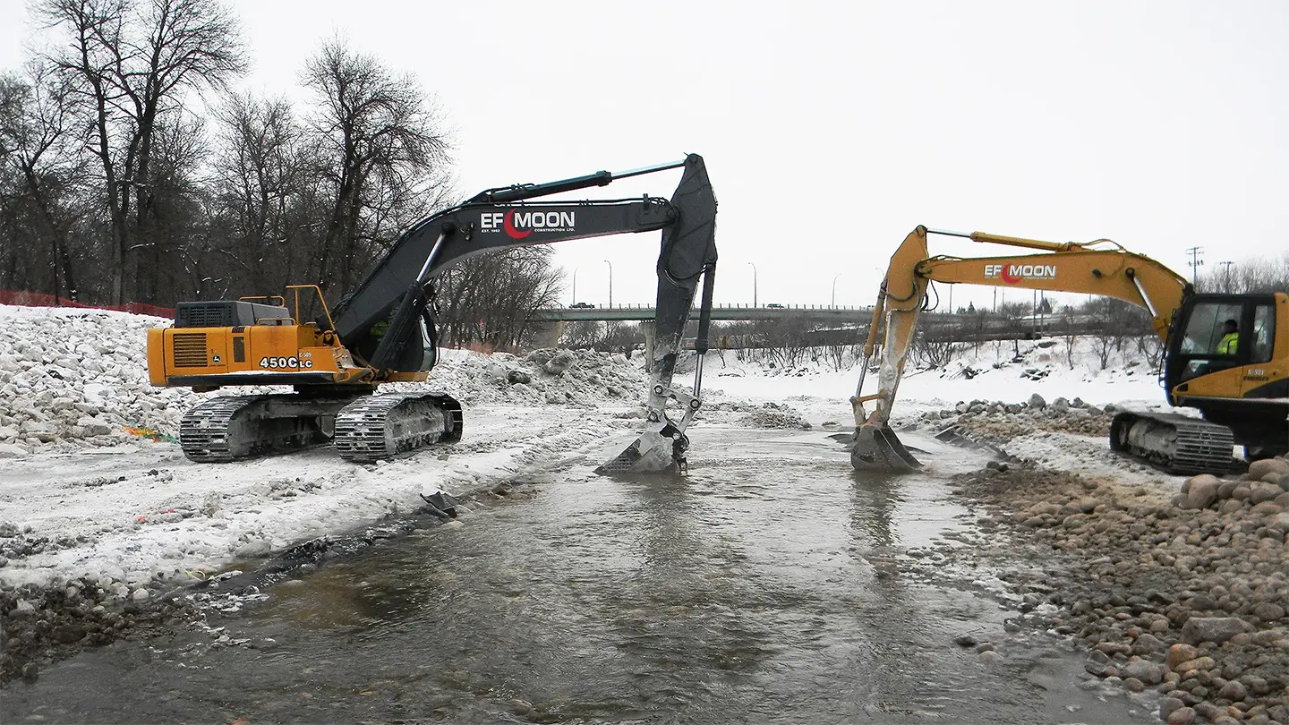
For more than 70 years, the Third Street Dam on the Assiniboine River supported the City of Brandon’s drinking water supply and provided social, environmental and commercial benefits. When the dam was irreparably damaged, KGS Group moved quickly to design temporary emergency measures that limited further habitat impacts and preserved Brandon’s water supply.
We then developed a functional, cost-effective, permanent solution that also removes a 70-year-old barrier to fish passage. The new overflow rockfill weir, with a low flow rock ramp fishway, preserves Brandon’s water supply, restores fish passage, adds spawning habitat, and improves the safety and aesthetics of the river adjacent to Dinsdale Park.
Working with the City of Brandon and regulators, the team demonstrated how preserving vital infrastructure can go hand‑in‑hand with prioritizing and enhancing the environment.
Project Highlights
- Designed and implemented temporary emergency measures to stabilize the river and maintain municipal water supply during dam failure
- Constructed an overflow rockfill weir to replace the damaged dam and secure long‑term water levels for intake reliability
- Constructed a low‑flow rock ramp fishway to restore year‑round fish passage and remove a 70‑year barrier
- Integrated spawning habitat through rock ramp geometry and material gradation, enhancing local fisheries