

Central Manitoba Mine Remediation
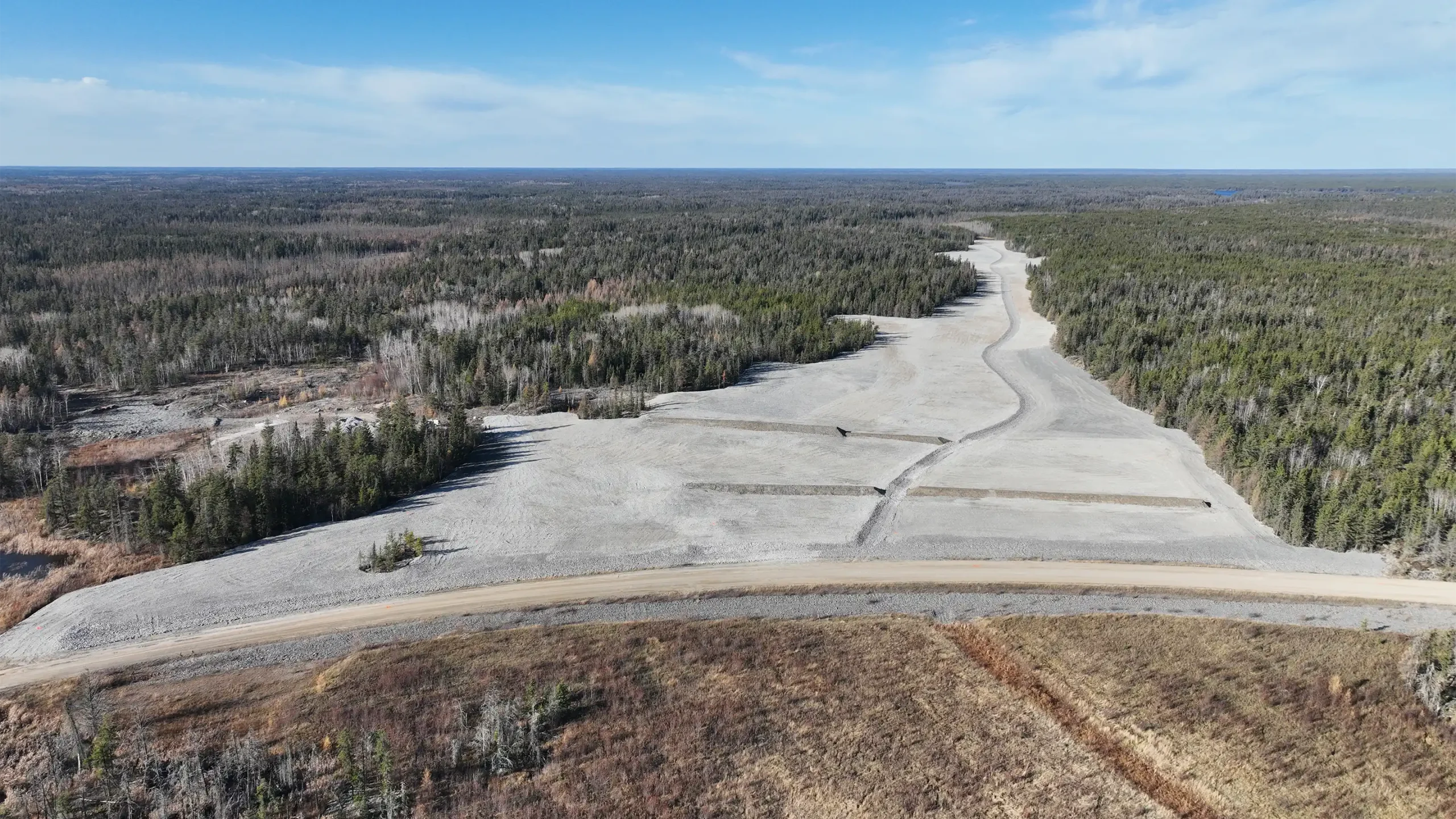
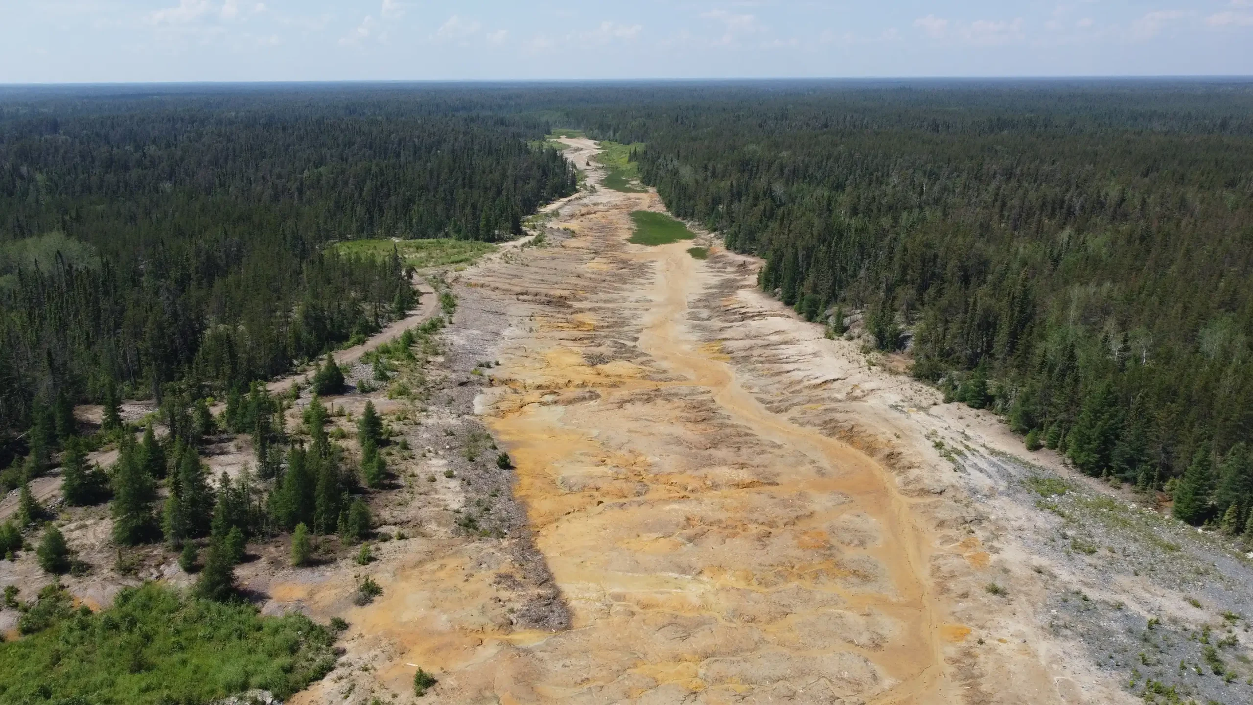
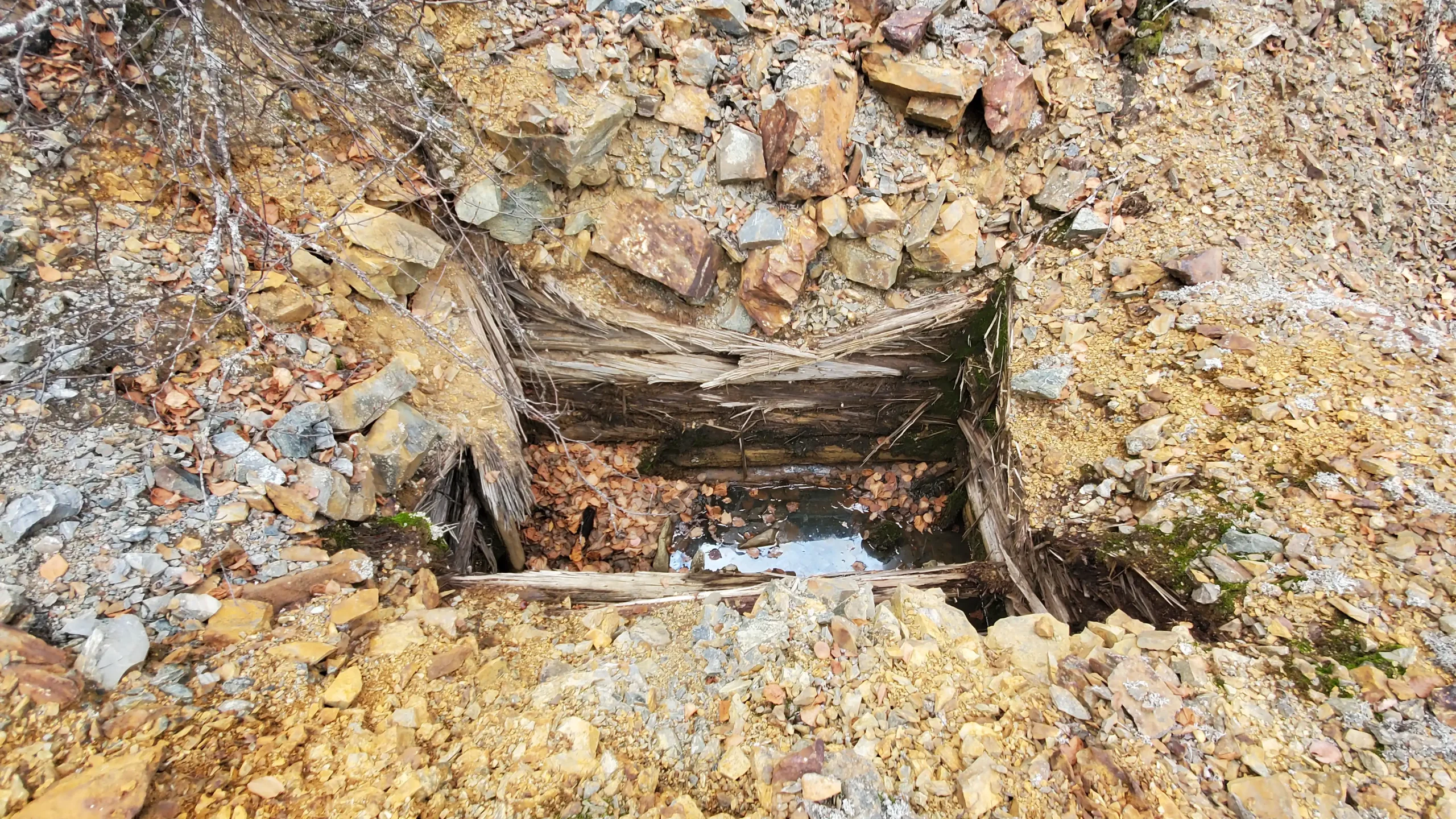
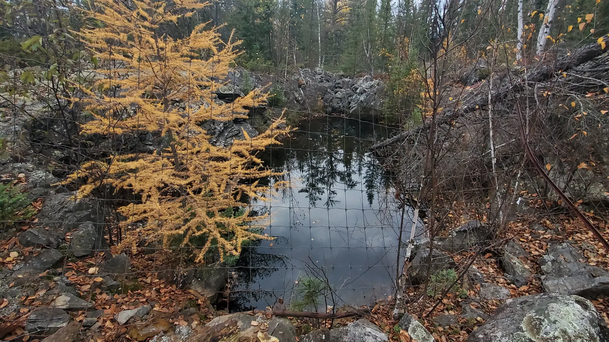
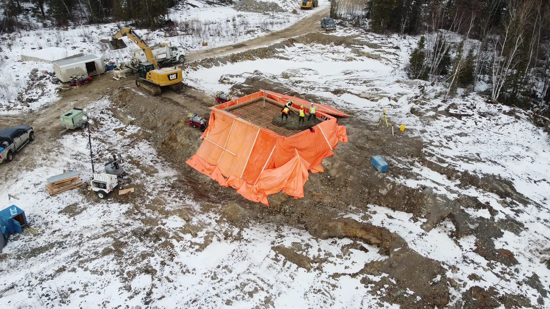
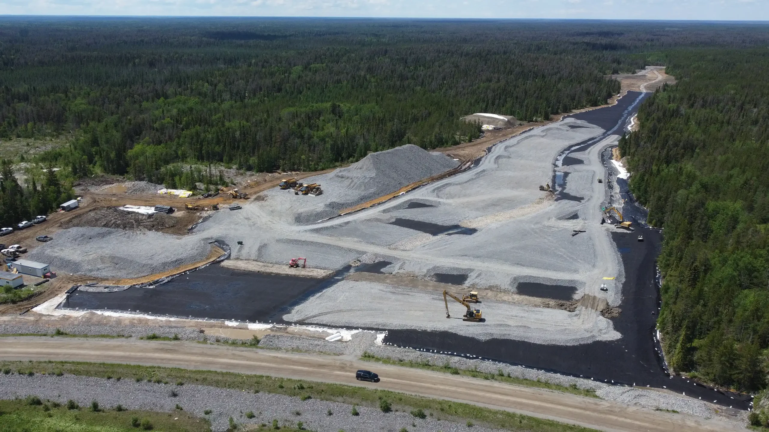
The Central Manitoba Mine, an abandoned mine site in Nopiming Provincial Park, was a top remediation priority for the Province of Manitoba because of the presence of major hazards to the public and environment. The site contained acid-generating tailings, waste rock, abandoned infrastructure and unsafe mine openings that lead to a network of underground mine development.
KGS Group spearheaded the site’s transformation. This project involved the development of comprehensive closure plans, the design of innovative remediation solutions, and construction administration.
The result: public safety was ensured, health hazards eliminated, and the site was restored to satisfactory conditions, mitigating extensive contamination and environmental risks.
Project Highlights
- Site assessment, risk evaluation and closure planning
- Containment and treatment of acid‑generating tailings and waste rock
- Securing unsafe mine openings, decommissioning abandoned infrastructure and debris removal
- Construction administration, contractor oversight and regulatory coordination
Pointe du Bois Spillway Replacement
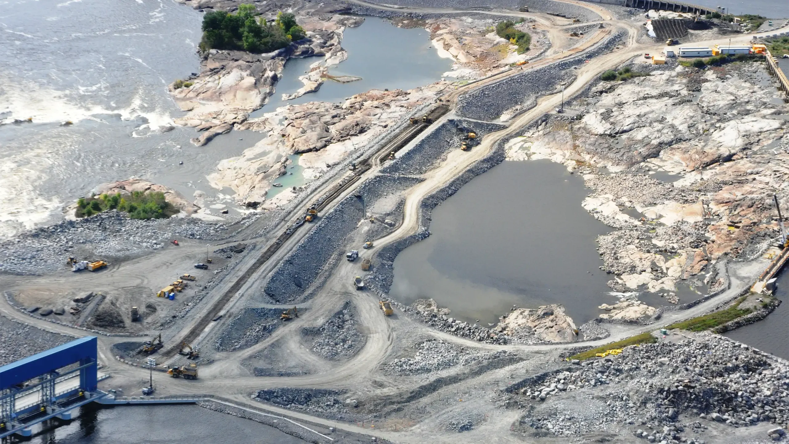
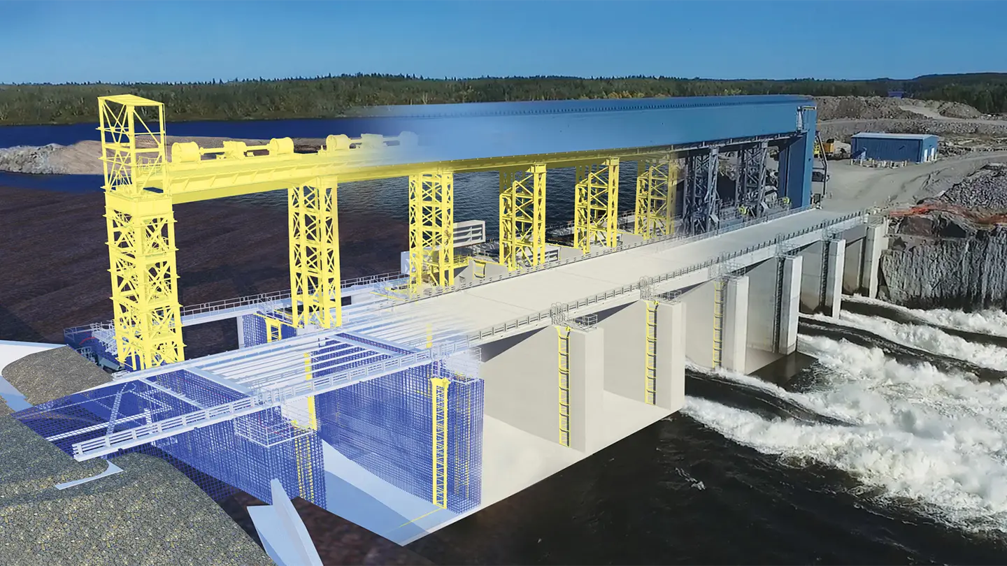
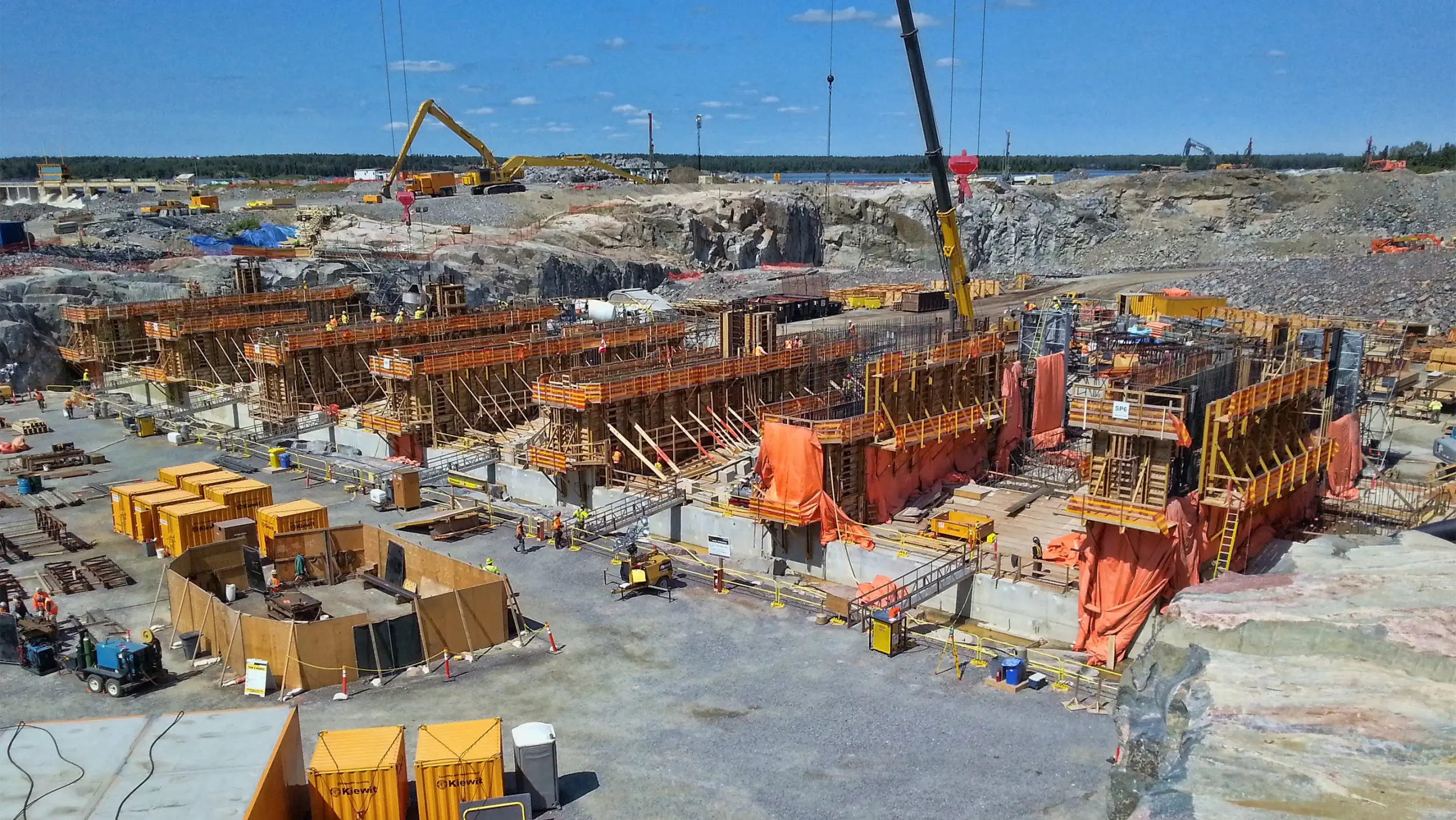
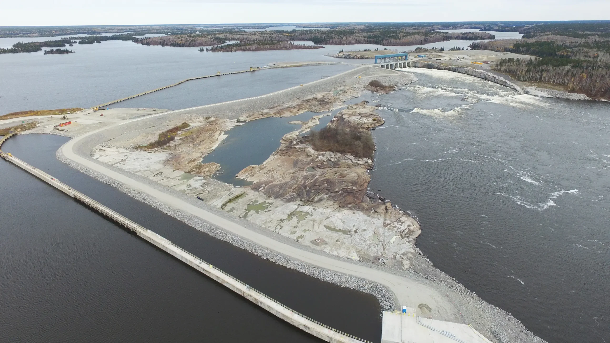
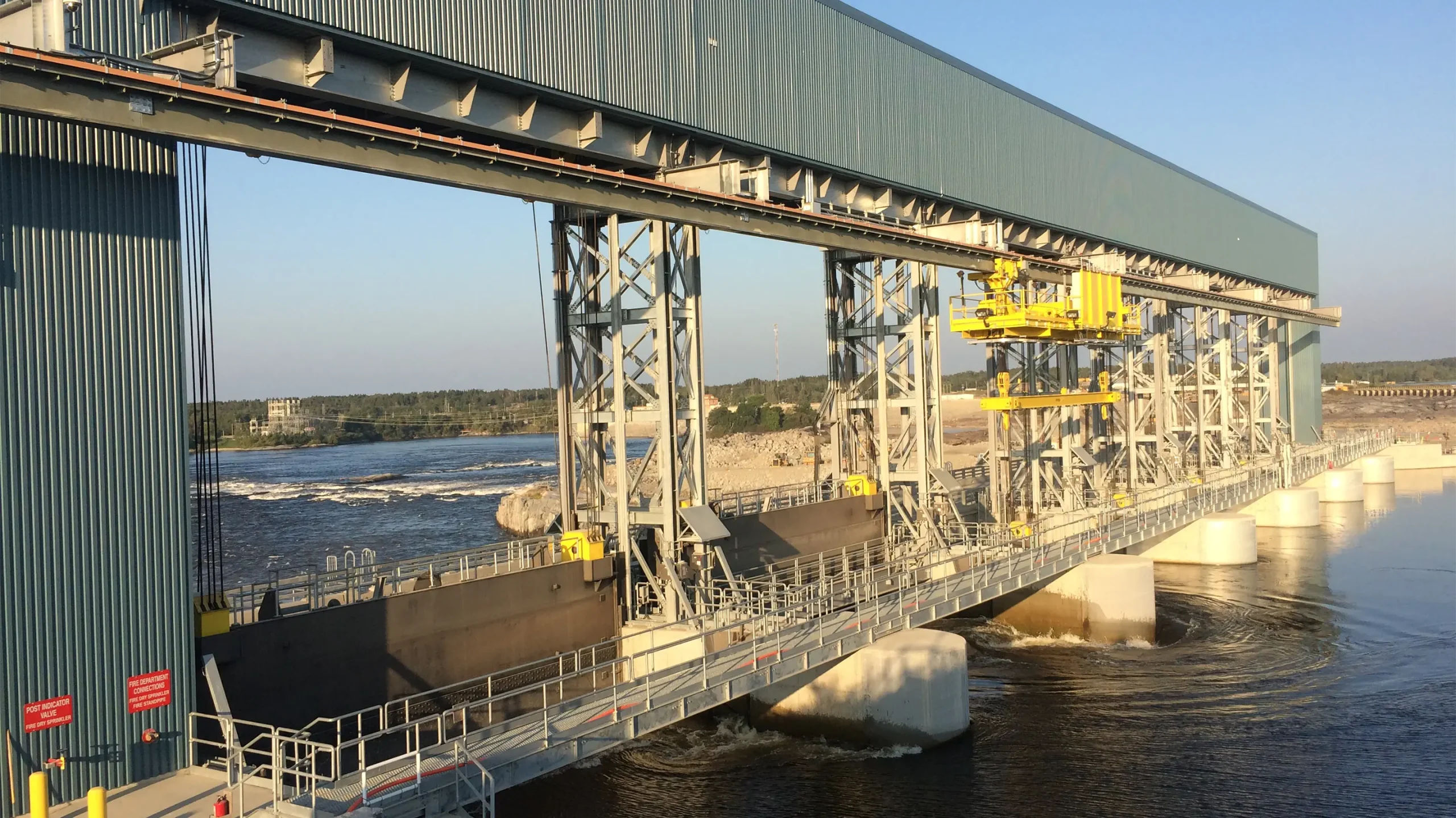
The Pointe du Bois Generating Station is the oldest operating hydroelectric plant in Manitoba. Despite extensive upgrades and ongoing maintenance over the years, the original spillway required replacement. The Pointe du Bois Spillway Replacement project included the design and construction of a new remotely operated 7-bay spillway and a new 1km long zoned earthfill dam, complete with an ancillary support building for electrical switch gear and control systems, a backup diesel generator, and other related infrastructure.
As the prime consultant, KGS Group worked collaboratively with Manitoba Hydro as the designer in an early contractor involvement project delivery process. KGS also provided full-time technical support and quality assurance assistance through construction, commissioning and close-out activities.
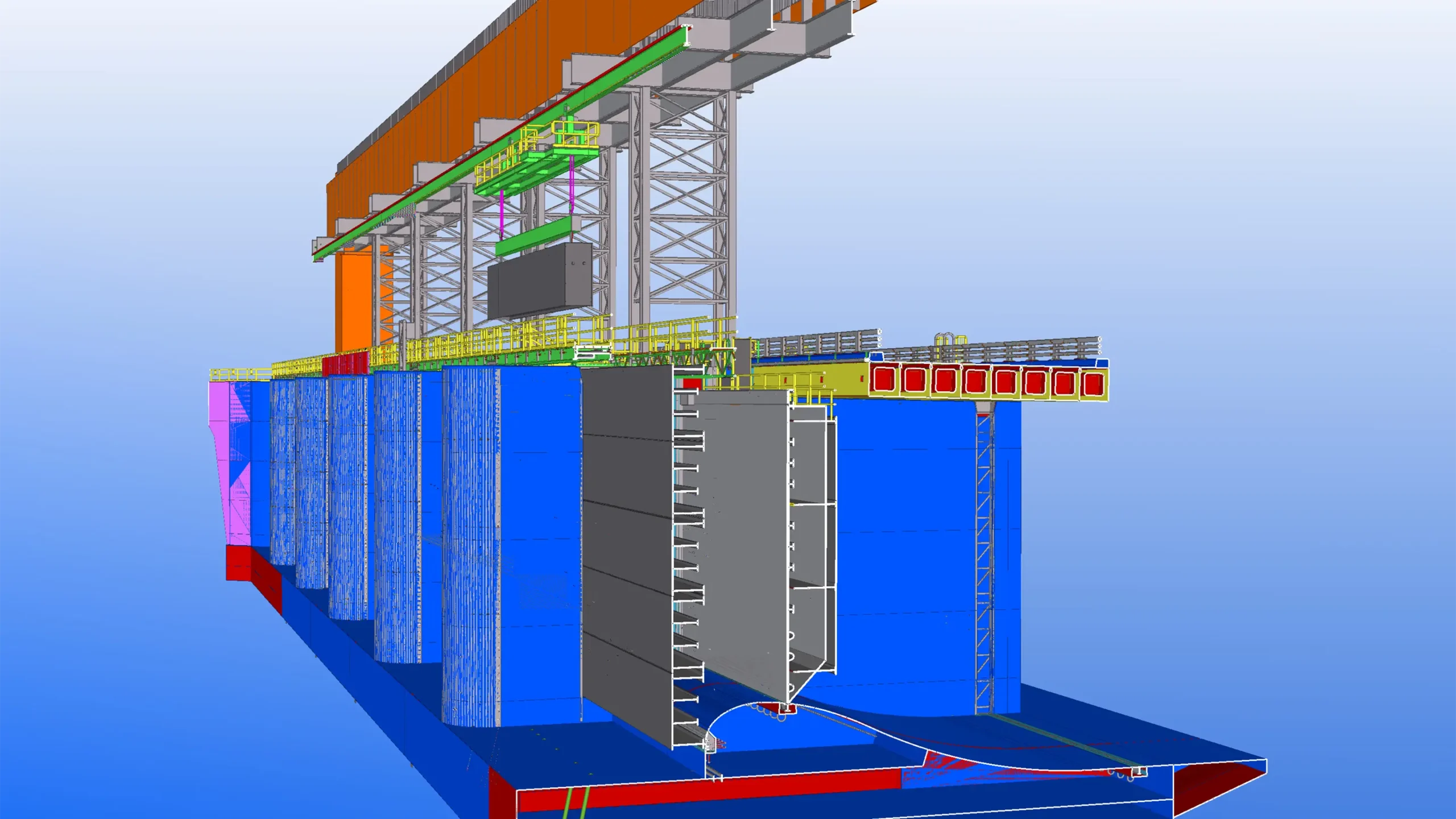
The final design was carried out entirely within a 3D digital environment, and was paramount for the successful execution of all stages of the project. This innovative approach gave the team the ability to visualize the end product at the design stage and enabled harmonious advancement of the project across multiple disciplines.
The several hundred-million-dollar project was successfully completed without any interruptions to the ongoing operation of the plant, while protecting and preserving established lake sturgeon habitat and restoring the natural landscape in this environmentally sensitive provincial park setting.
Project Highlights
- New remotely operated seven bay spillway, support building and backup diesel generator
- New 1km long zoned earthfill embankment dam
- 3D digital design environment
- The several hundred‑million‑dollar capital program was completed without operational interruptions
- Enhanced safety and control, extended asset life and a more reliable discharge capacity
- Lake sturgeon habitat protected and the landscape in the provincial park was restored
Seine Riverbank Stabilization at the Branch 1 Aqueduct
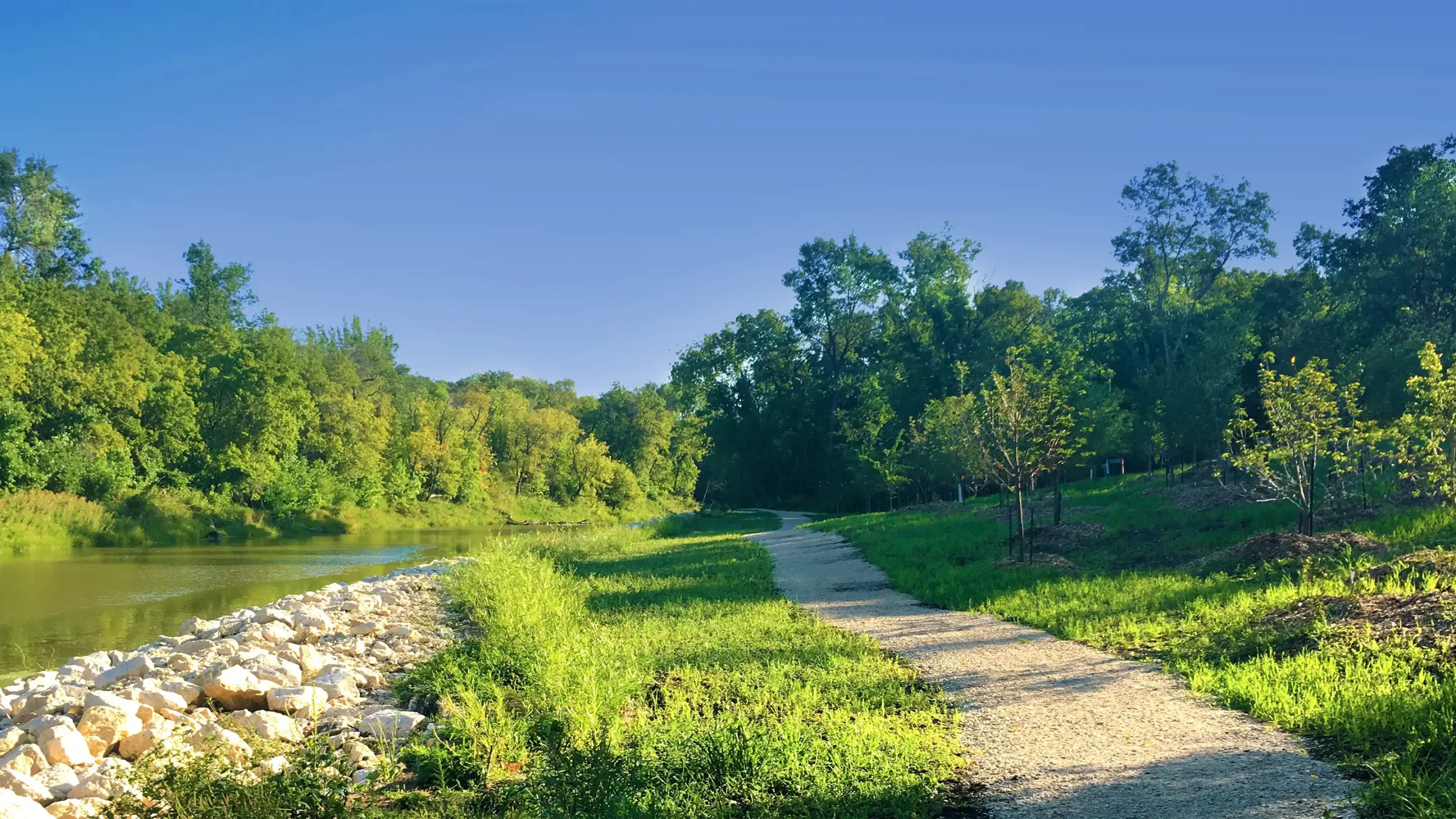
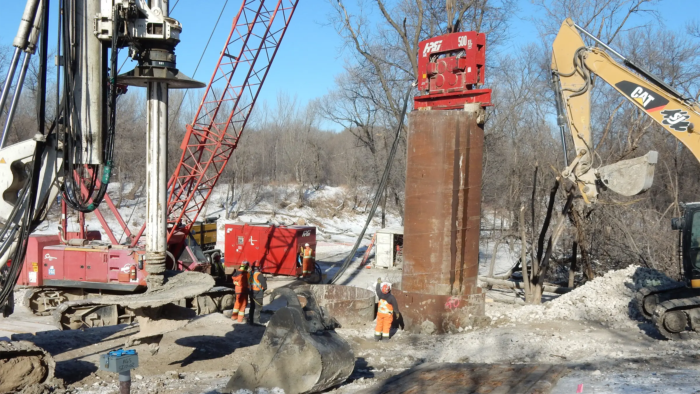
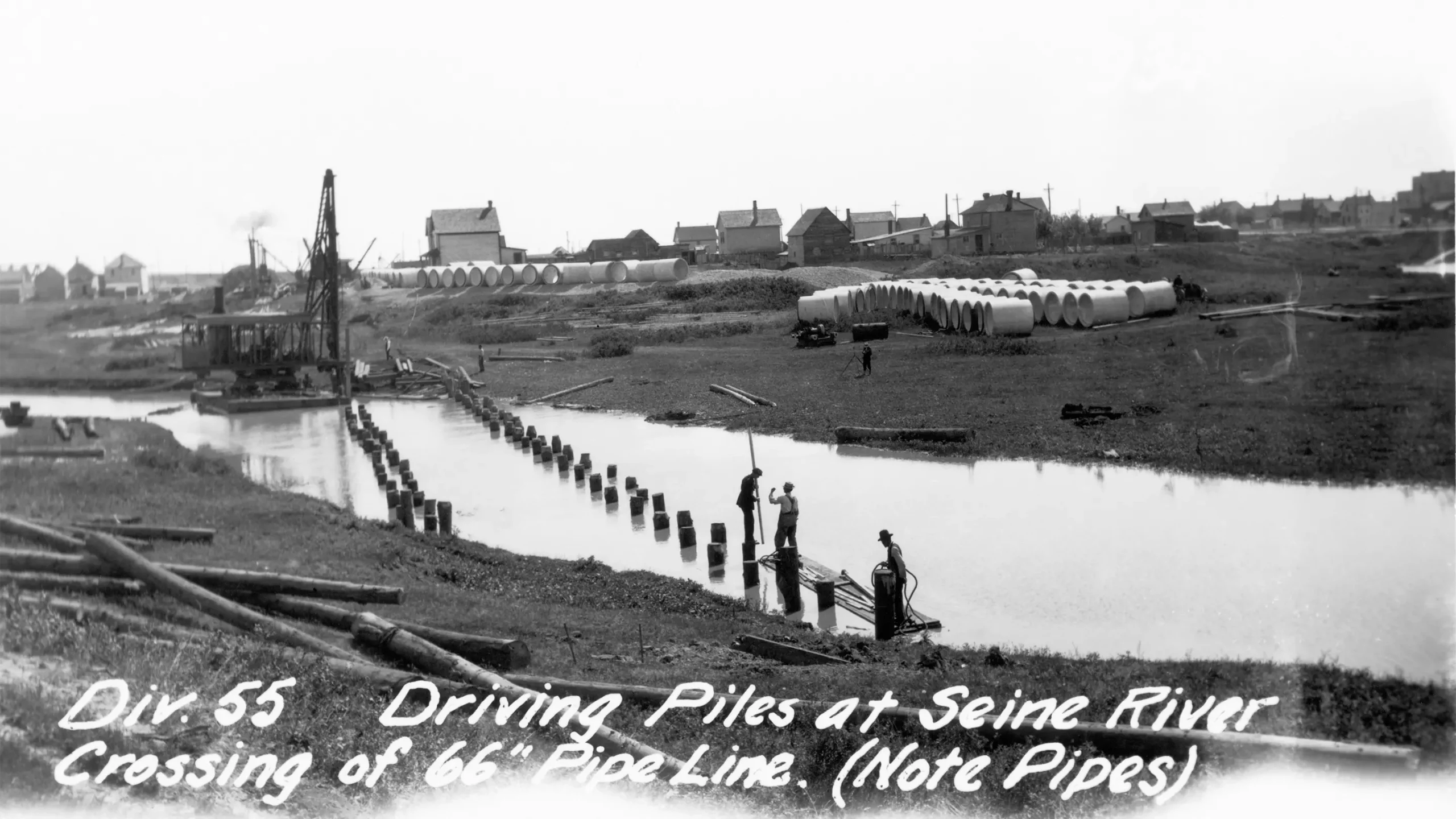
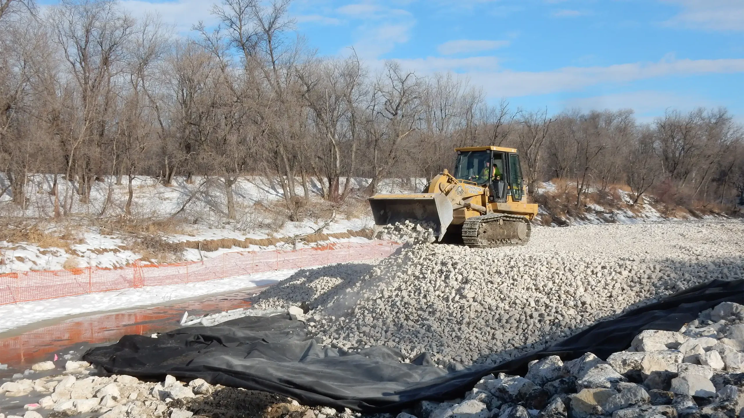
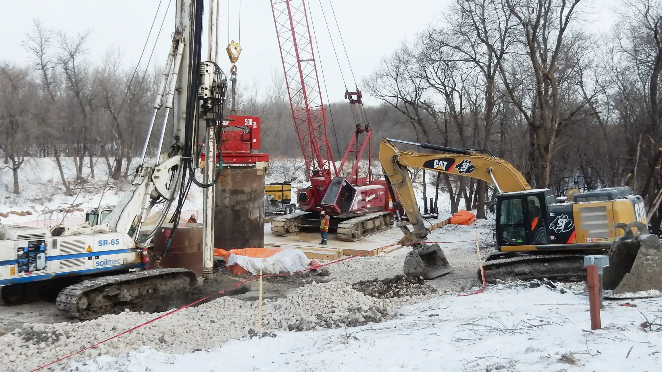
Riverbank movements near the Seine River crossing threatened the City of Winnipeg’s 100‑year‑old Branch 1 Aqueduct, which carries 40% of the city’s drinking water. KGS Group helped stabilize the riverbank while keeping the aqueduct in service throughout construction, protecting a critical supply and reducing risk to the community.
Our team applied an extensive design evaluation process, a full-scale field-testing program, a ground-breaking instrumentation monitoring program and a highly prescriptive construction methodology to manage risk at each stage of construction.
This approach required more intensive engineering but reduced the construction timeline by one full year and resulted in significant project cost savings. After the stabilization work was completed, a complete revegetation project ensued, ensuring the area was ready for community use for years to come.
Project Highlights
- Planning, design, geotechnical evaluation, construction oversight, monitoring and stakeholder coordination
- Advanced instrumentation program and prescriptive construction sequencing
- Project timeline was completed one year ahead of schedule, leading to significant cost savings
- The site was restored and revegetated, improving the public realm and long‑term resilience
Cote First Nation Solid Waste Transfer Station
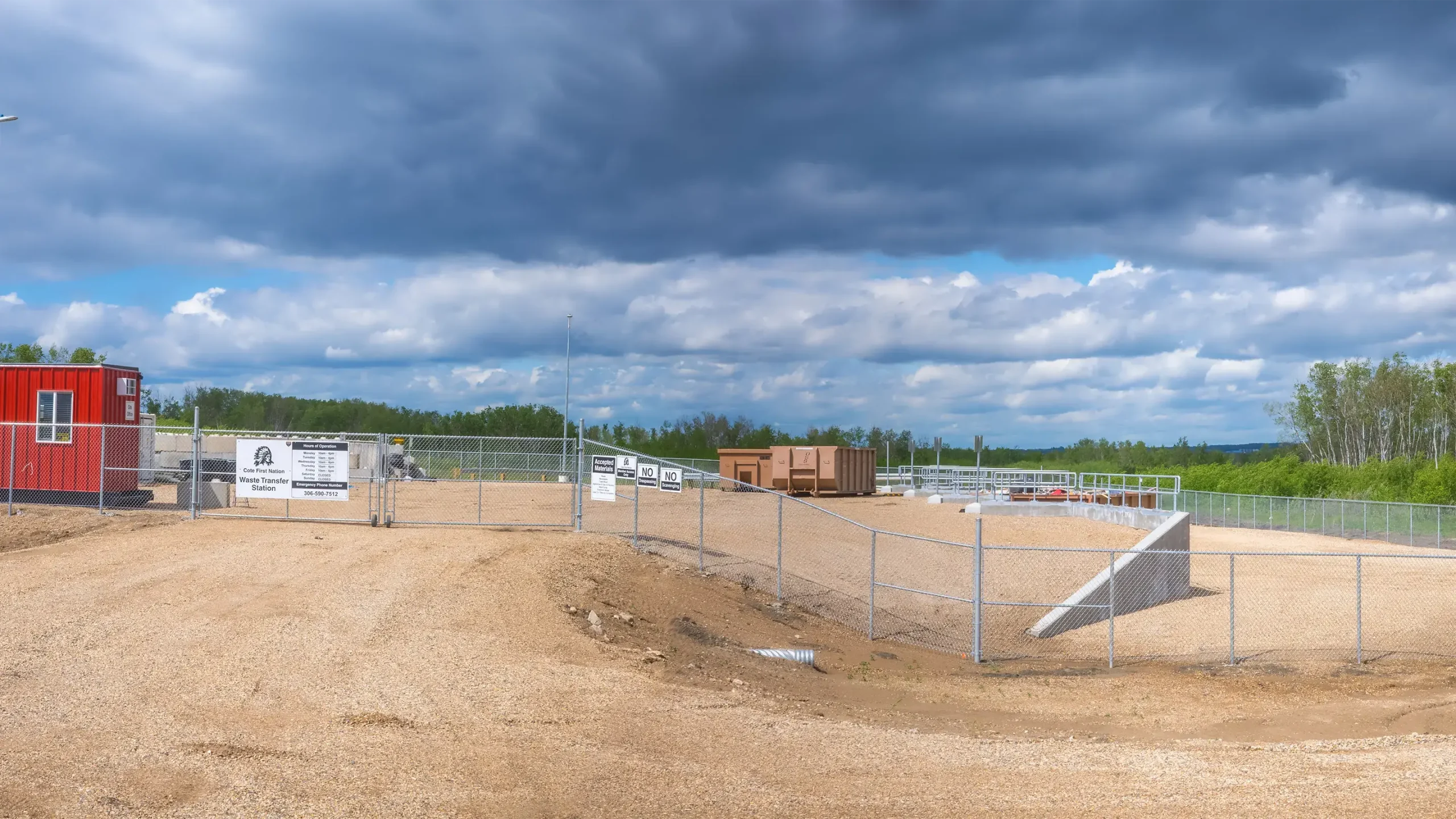
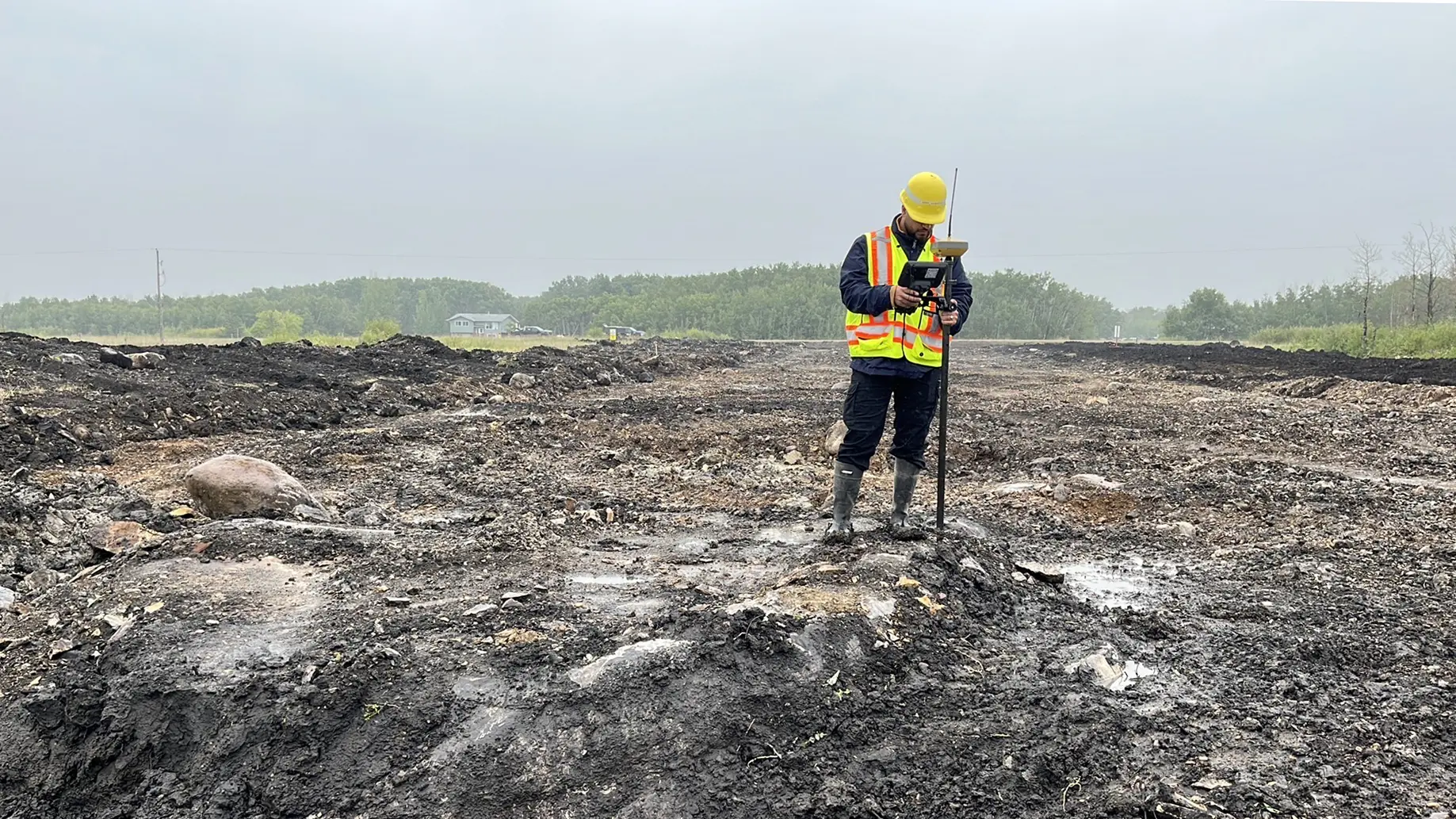
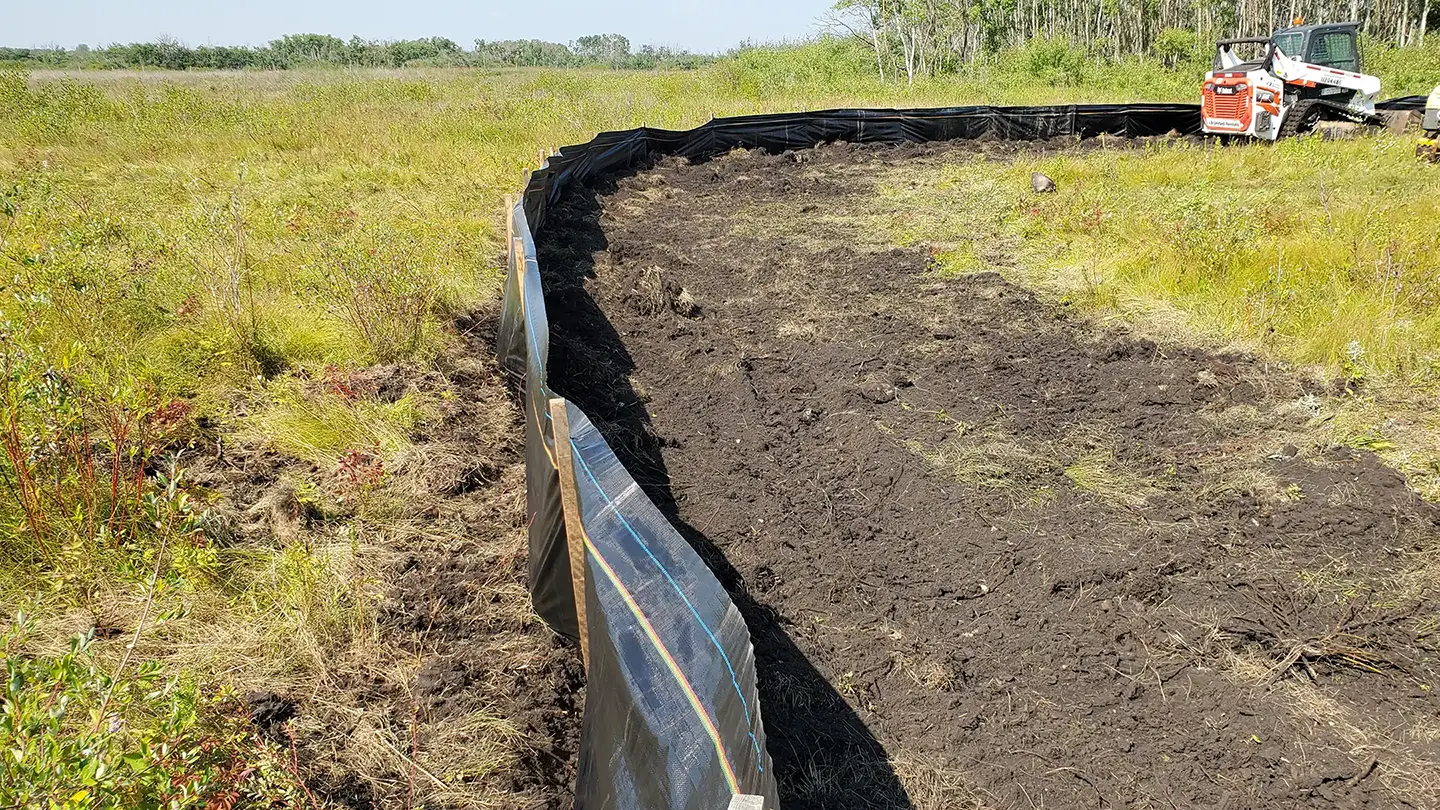
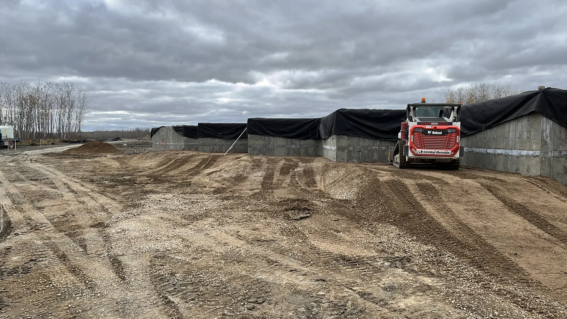
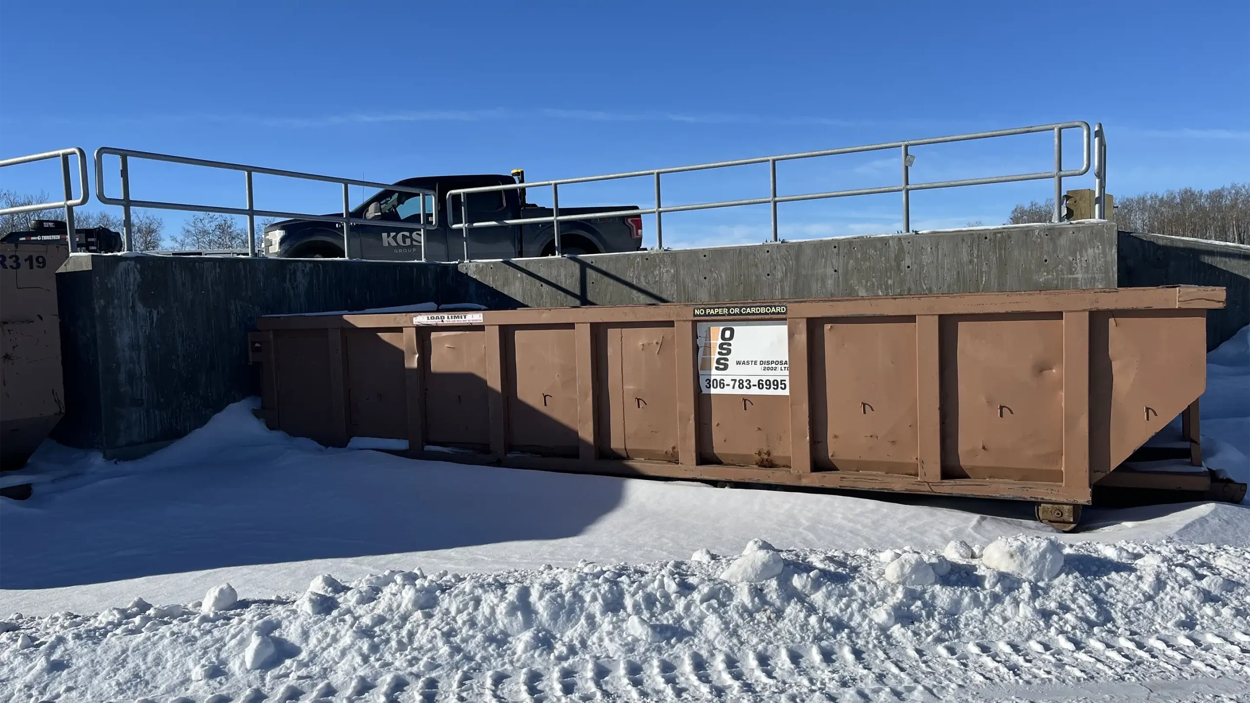
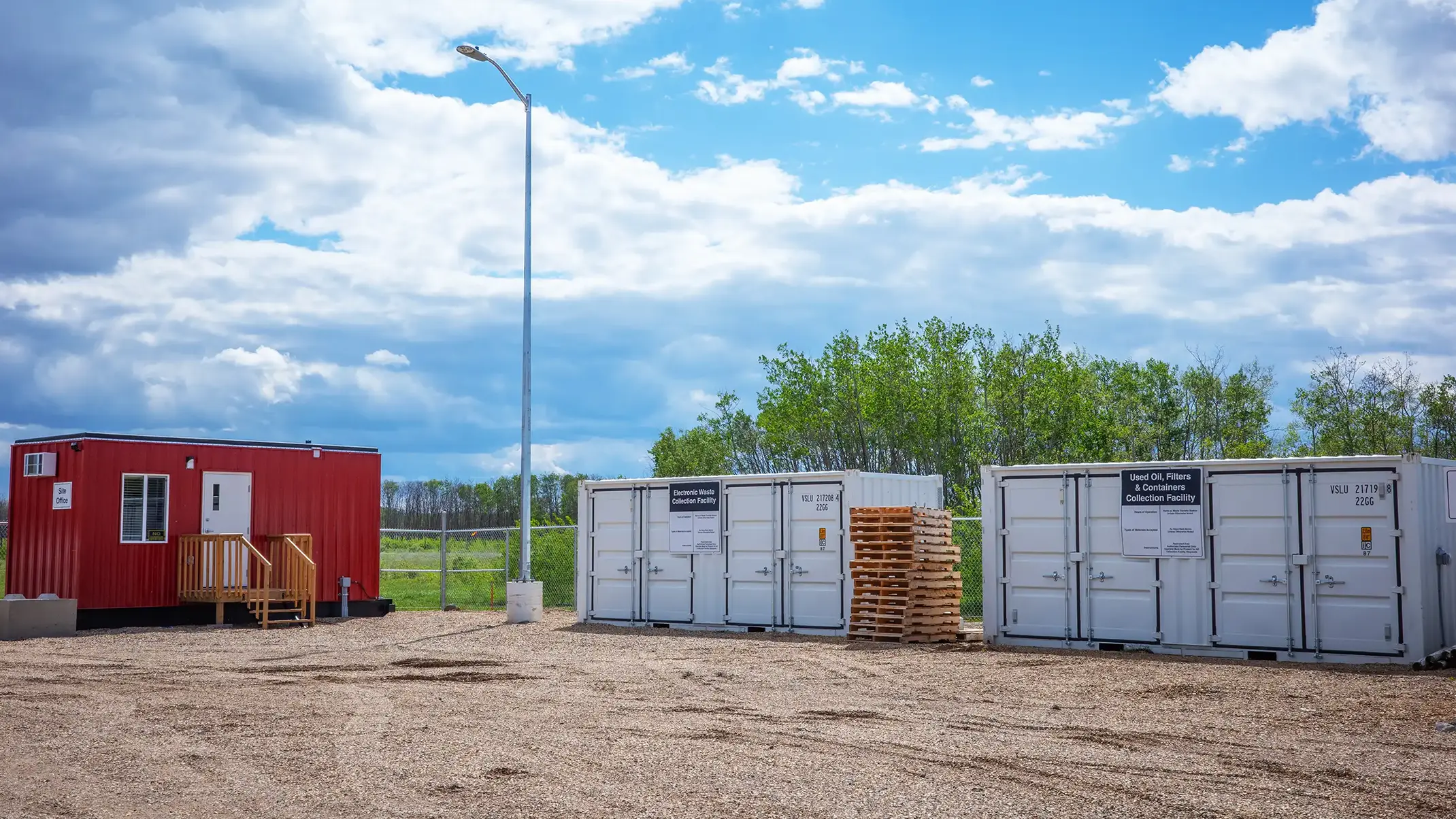

Cote First Nation had been experiencing significant solid waste management challenges including inconsistent collection services and unmanned and non-engineered dump sites throughout the Reserve. Additionally, the main landfill site was note engineered which posed a significant risks to the surrounding soil and groundwater.
To ensure waste was being managed in a sustainable manner, Cote First Nation engaged KGS Group to review their waste management practices and design and oversee the construction of a new solid waste transfer station. We also supported community engagement events to share the importance of transfer stations and responsible waste management practices.
During construction, nearly 2,000 hours were completed by Cote First Nation members, and the total value of purchased material, worker wages and equipment rentals from the Nation was approximately $126,500. This project also presented on-the-job training and mentorship opportunities for members of Cote First Nation and was seen as a community-driven process that was mutually beneficial to everyone.
The positive effects of the project will be evident through the waste diverted from unmanned dump sites, the protected soil and groundwater, and the sense of empowerment felt across Cote First Nation to continue with responsible waste management practices.
Project Highlights
- Design and oversaw construction of a new solid waste transfer station
- 2,000 hours contributed by Cote First Nation members to complete the project and $126,500 spent on local materials, wages and rentals
- Improved protection of soil and groundwater with waste diverted from unmanned landfills
- On‑the‑job training and mentorship for Cote First Nation members
University of Manitoba Fort Garry Riverbank Asset Management
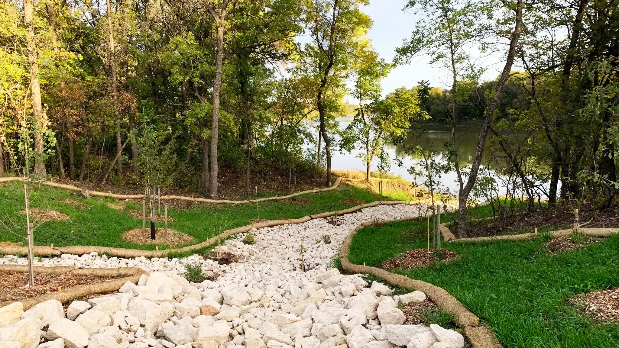
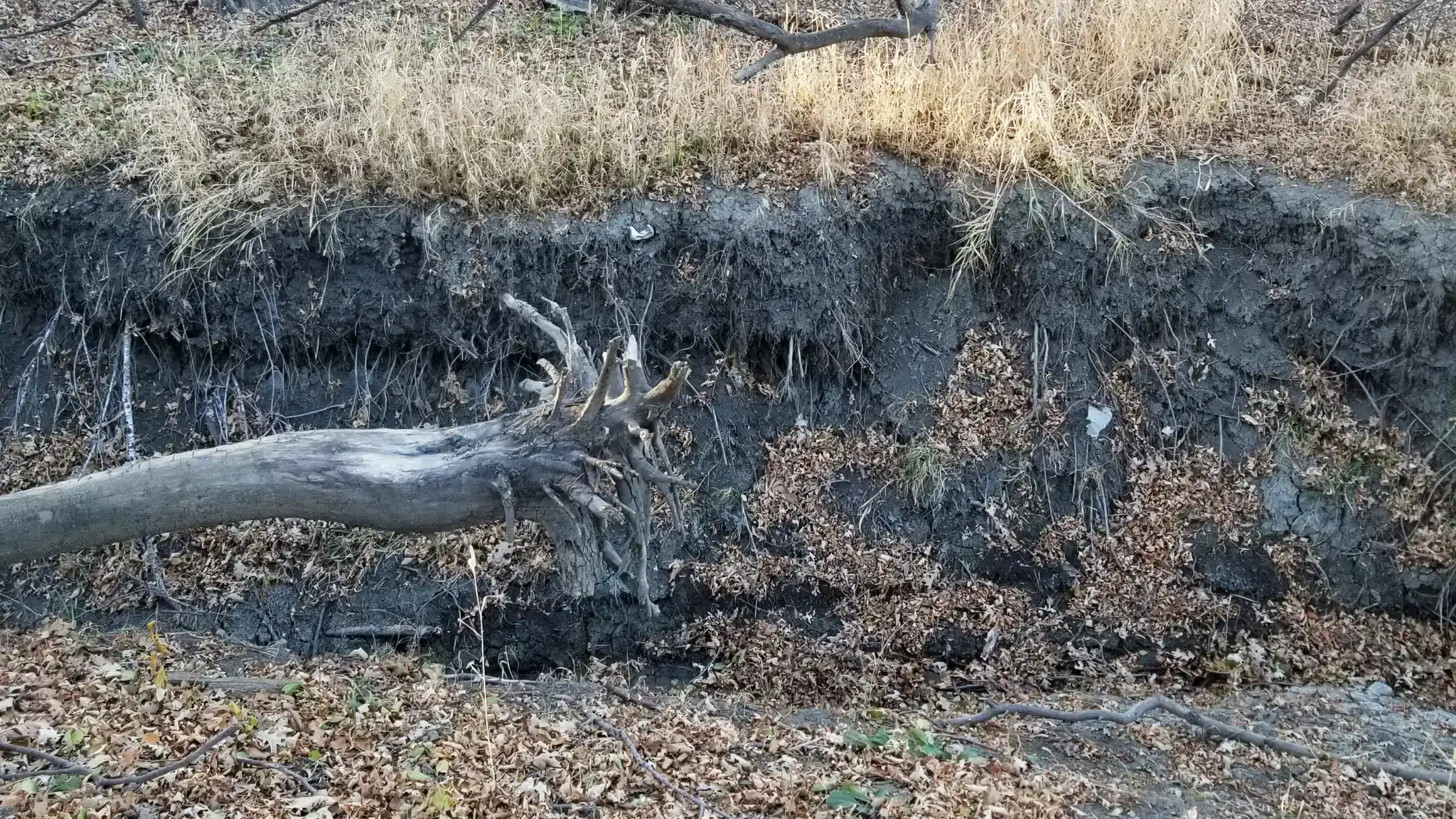
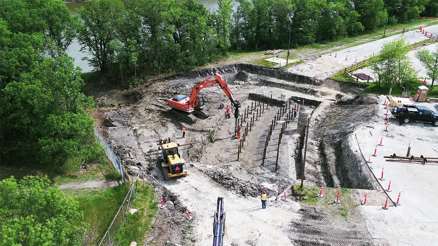
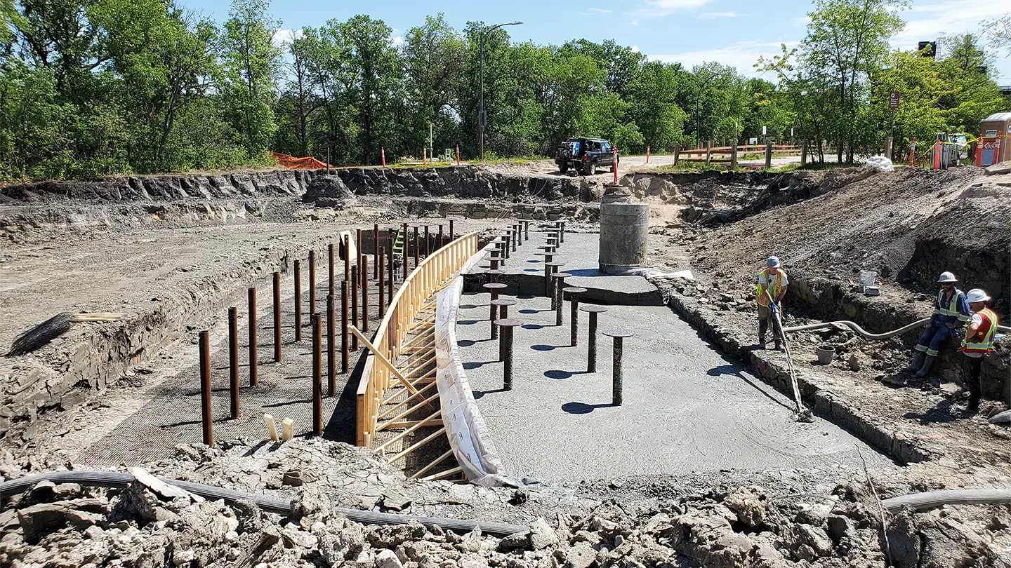
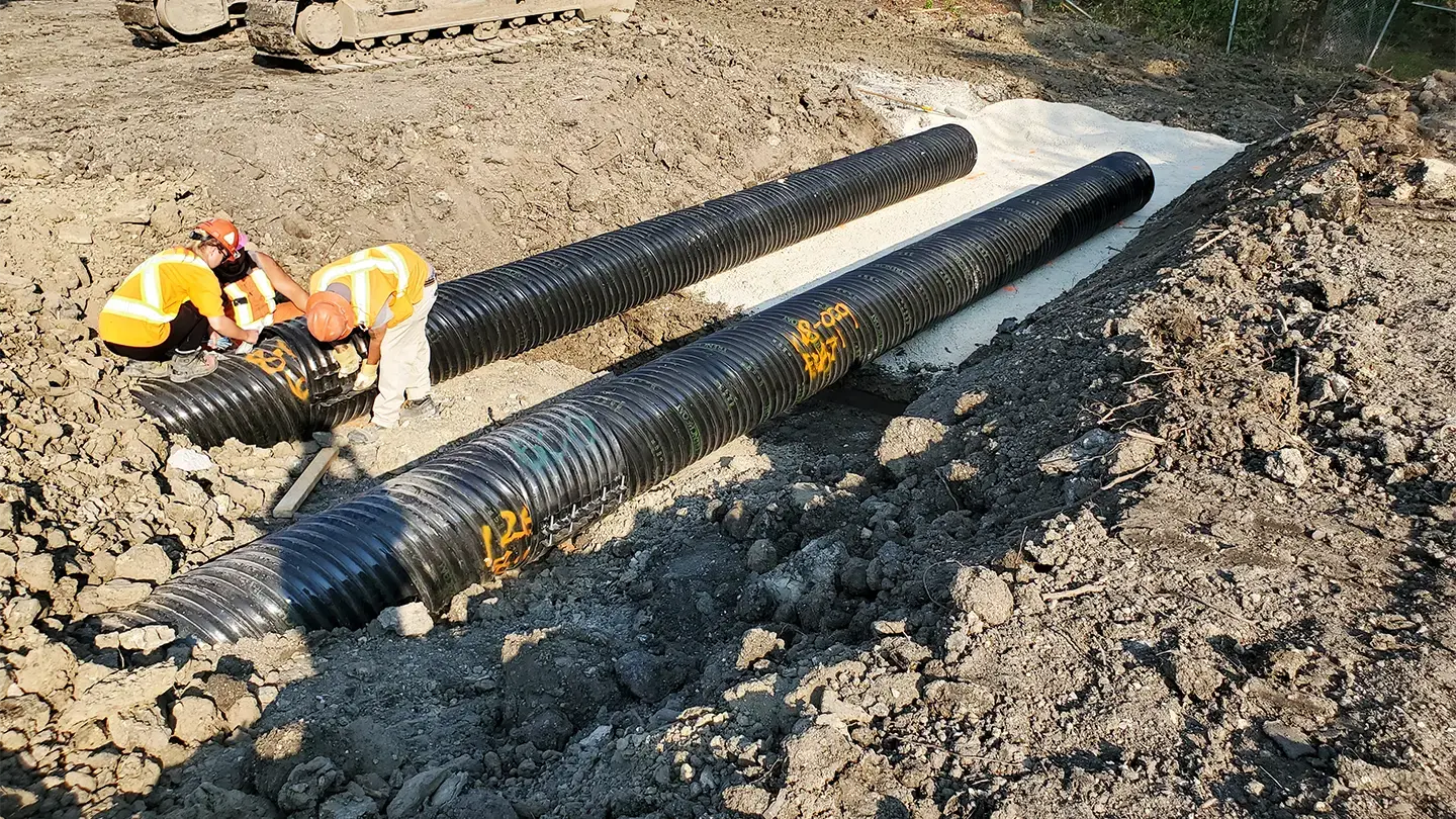
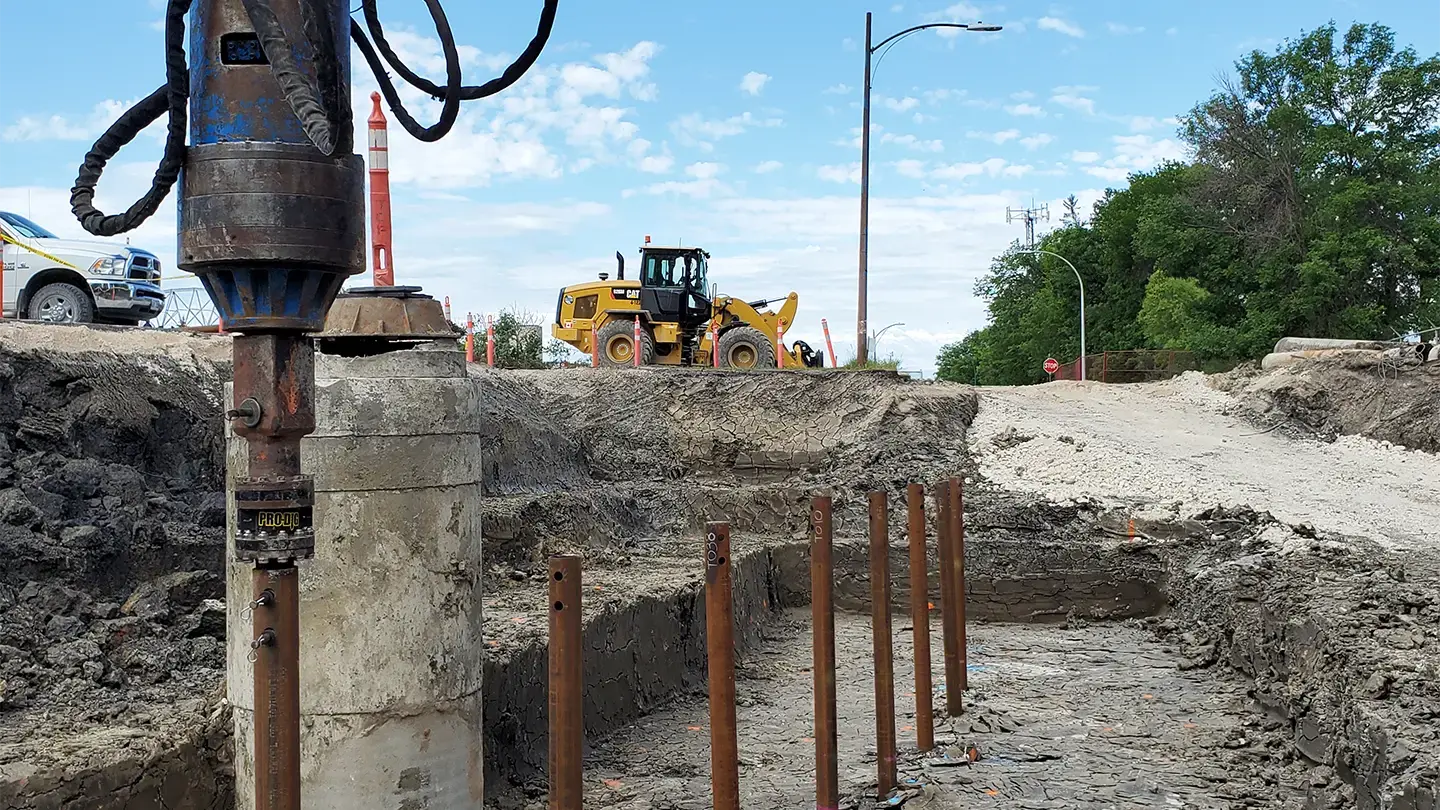

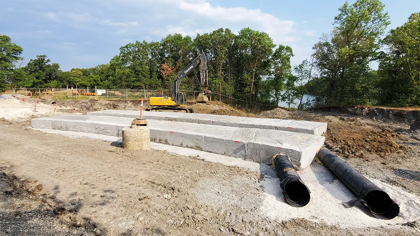
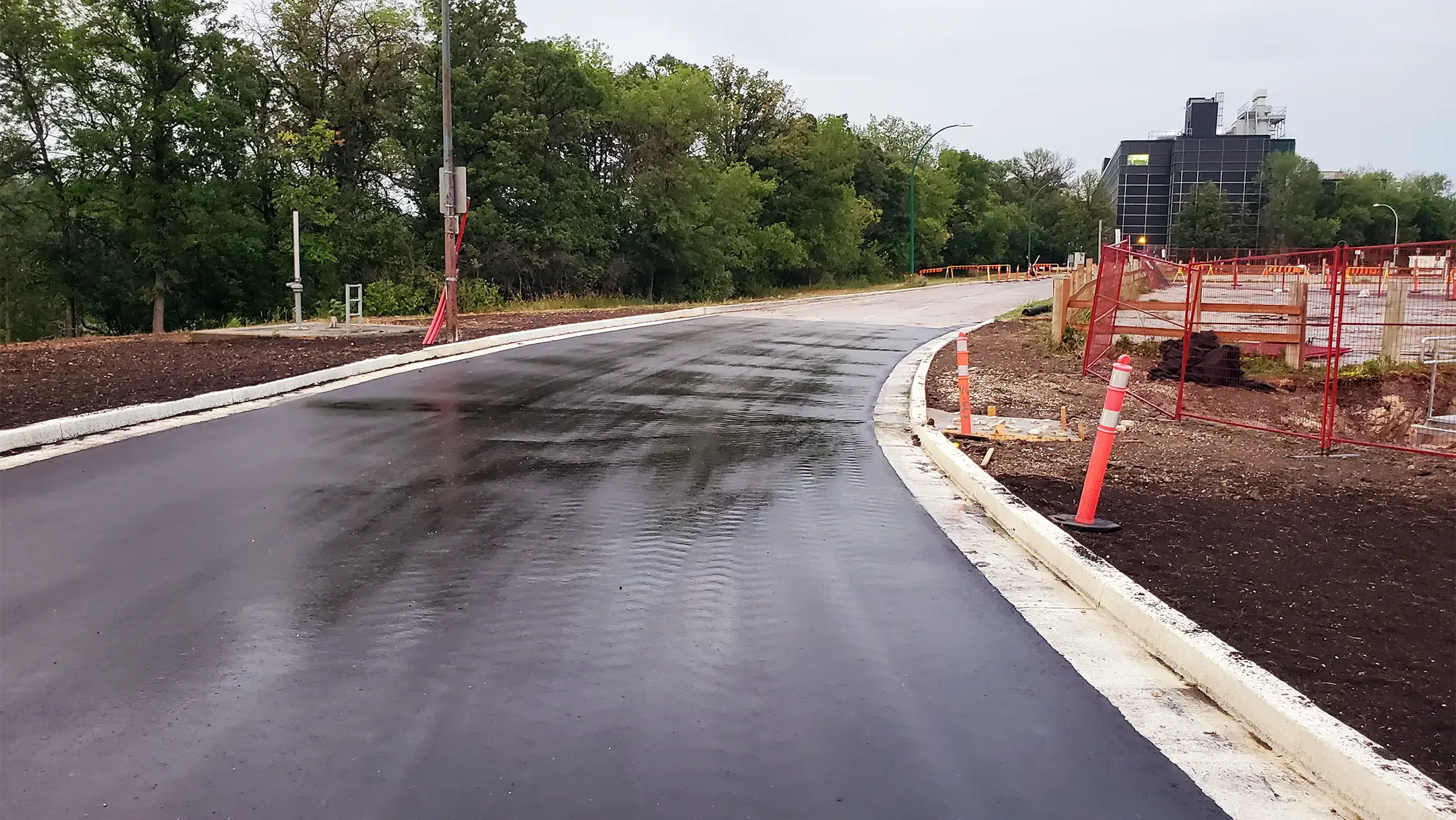
On the northwest side of the University of Manitoba Fort Garry Campus, which is located on Treaty 1 Territory, 600 meters of Sifton Road along the Red River acts as the Primary Line of Defense (PLD) dike, protecting the City of Winnipeg from flooding. Along the riverbank, ongoing and uncontrolled surface water discharge from Culvert 108 created over-steepened slopes and was threatening the integrity of this portion of Sifton Road.
KGS Group designed an innovative solution to reconstruct Culvert 108, Sifton Road and the PLD dike system. A first for this technology in Winnipeg, the solution used buoyant lightweight fill material anchored with helical piles. Additionally, the land drainage system was redesigned, Culvert 108 was upgraded to prevent future damage and supplemental vegetation was planted. The result was an area that is fully integrated with the surrounding ecosystem and is ready for future use opportunities while protecting the community.
Project Highlights
- Designed a solution to reconstruct Culvert 108, Sifton Road and PLD dike system to restore flood protection and roadway function
- The solution, a first for this technology in Winnipeg, included buoyant lightweight fill anchored with helical piles
- Redesigned the land drainage system to control and safely route surface water, reducing erosive outflows to the riverbank
Assiniboine River and Lake Manitoba Basins Flood Mitigation Study
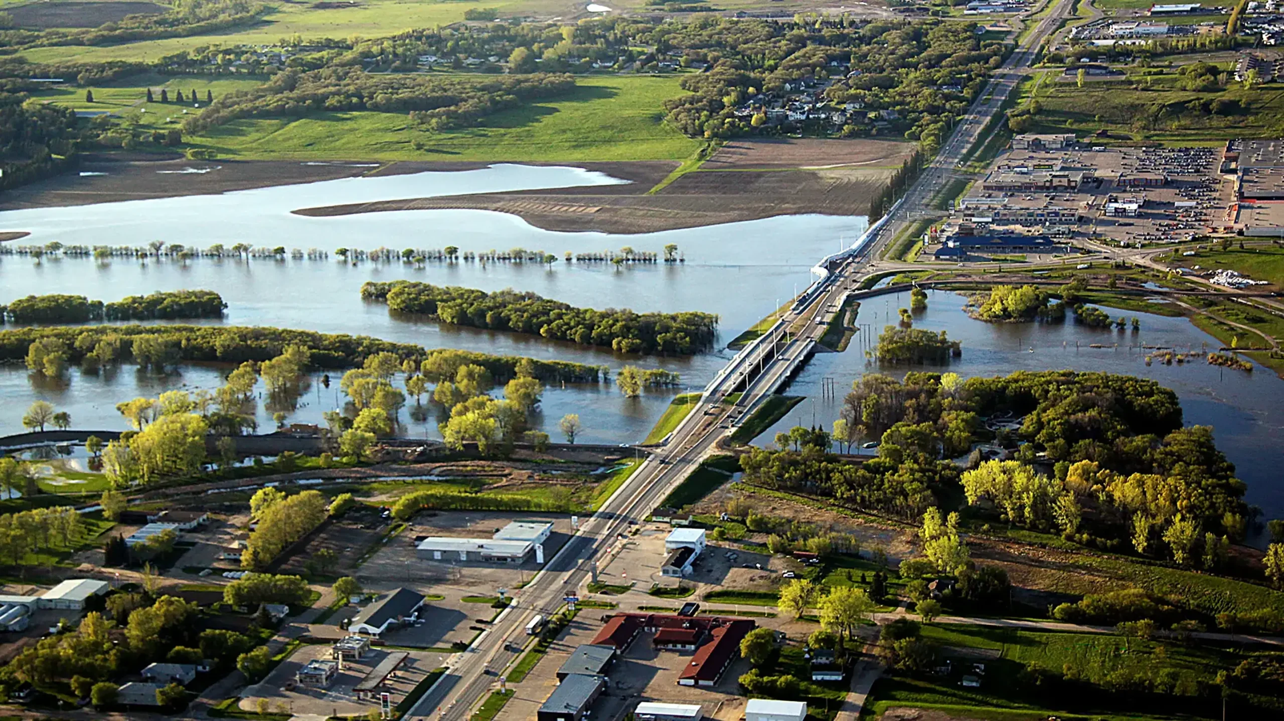
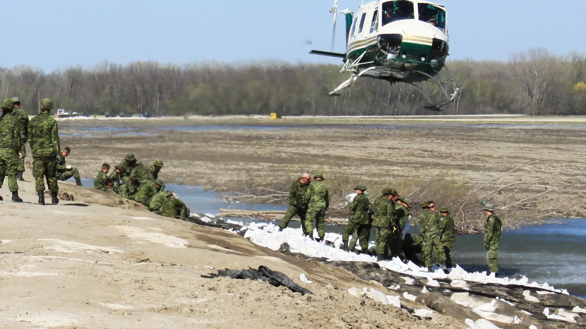
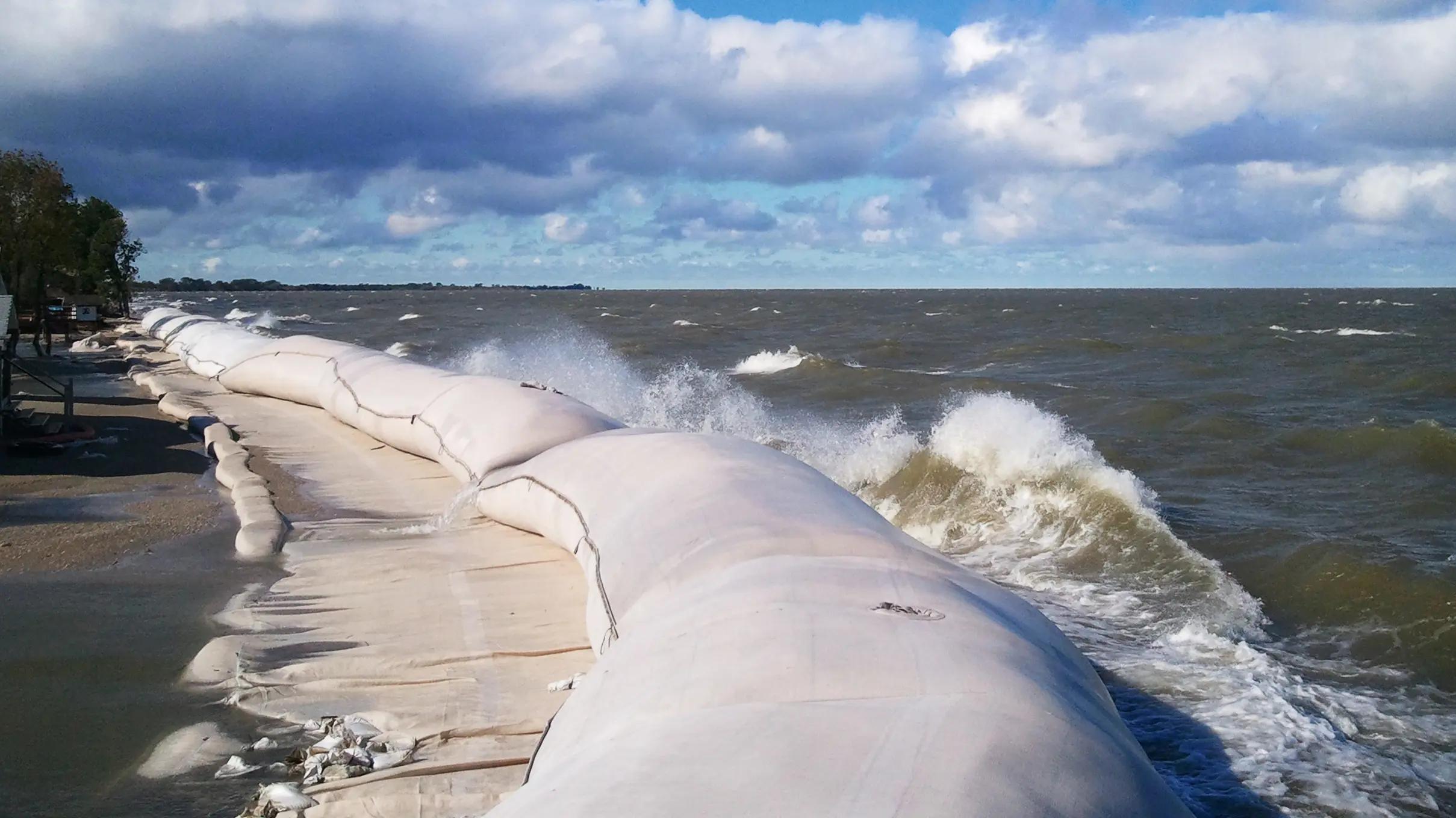
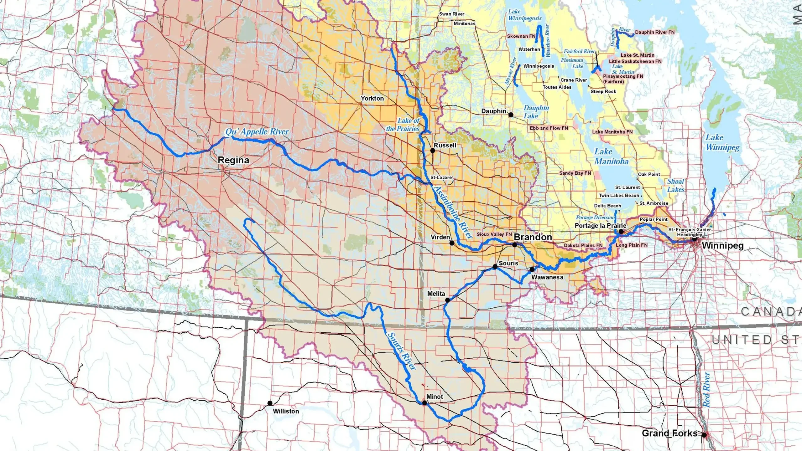
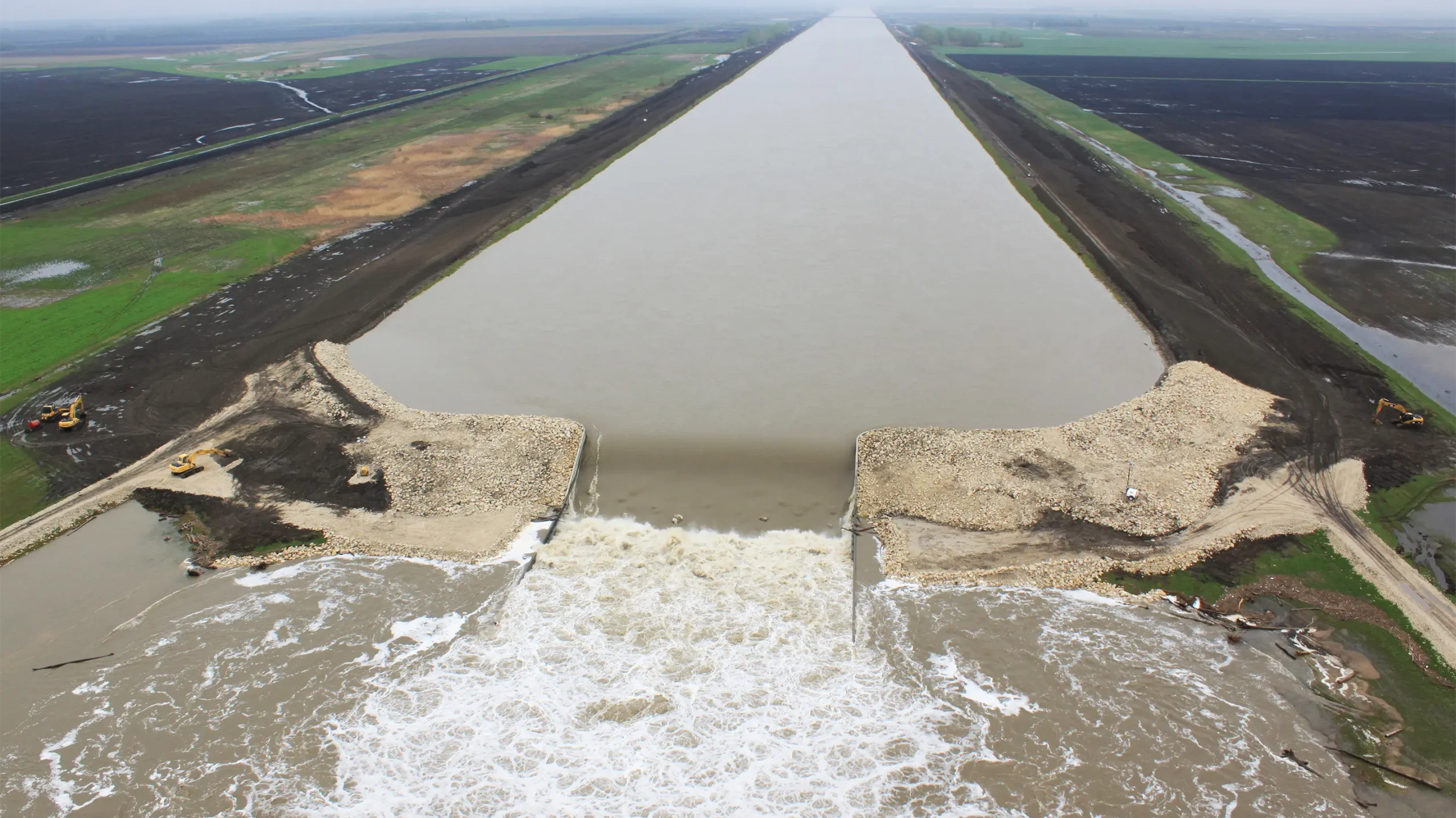
The flood of 2011 highlighted several potential “weak links” in Manitoba’s flood control system, which resulted in widespread damage across the province. To address the propensity for flooding in the Assiniboine River and Lake Manitoba basins, KGS Group carried out a flood mitigation study, which identified major flood vulnerabilities and assessed a wide range of measures to improve protection in the region.
A vast amount of data was reviewed and over 70 mitigation options were evaluated including dikes, reservoirs, diversion channels, wetland restoration and development controls. As well, a number of sophisticated models were developed to calculate cost-benefit ratios and the economic viability of the options.
Working collaboratively with Manitoba Transportation and Infrastructure, the project team developed a technical workshop and held public open house events to incorporate important feedback into the study findings.
The results of the study identified over $1 billion of flood mitigation upgrades required to increase the flood protection level to provincial standards across the basin. The results will also serve as the foundation for major flood mitigation programs for the next several decades.
Project Highlights
- Reviewed and synthesized basin‑wide datasets to establish current and future flood risk profiles
- Evaluated 70+ mitigation options, including dikes and levees, reservoirs and storage, diversion channels, wetland restoration, development controls
- Compiled actionable study deliverables for program planning
University of Manitoba Fort Garry Campus Riverbank Management Study
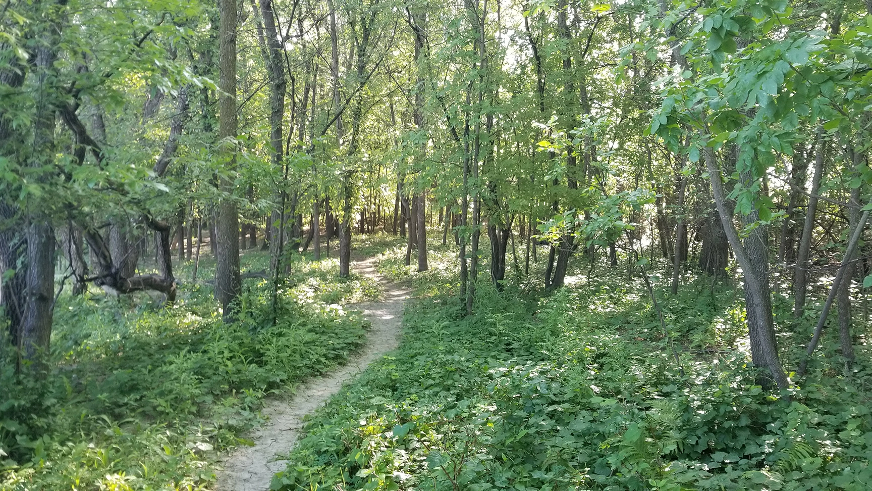
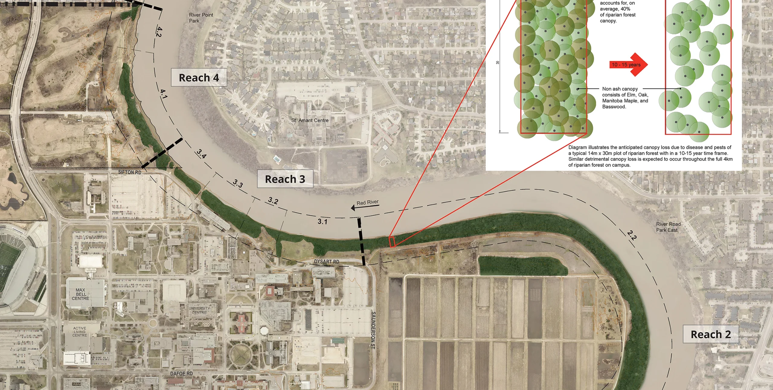
With nearly 4 km of shoreline, the University of Manitoba (UM) Fort Garry Campus is inherently linked to the Red River. The UM has adopted policies to become a leader in ecological, social and economic sustainability to promote a healthier, more active campus while reducing environmental impact.
Aligning with the UM’s sustainability principles, KGS Group provided the university with a 15-year, phased riverbank management strategy that favours restoration of the riparian corridor with naturalized solutions. Integrating geotechnical and ecological concepts, the riverbank management plan is a comprehensive tool to help the university manage risk, promote riverbank health and preserve critical infrastructure. The plan mirrors the dynamic nature of the river, allowing for updates over time to reflect changes to the riverbank and the campus itself.
Project Highlights
- Mapped and segmented 4 km of shoreline to create reach‑based inventories and prioritize restoration actions
- Completed integrated assessments of bank stability, erosion risk, riparian condition and habitat value
- Defined naturalized restoration treatments (e.g., riparian revegetation, bioengineering/soft stabilization, setback planting)