

Kenora Downtown and Waterfront Revitalization
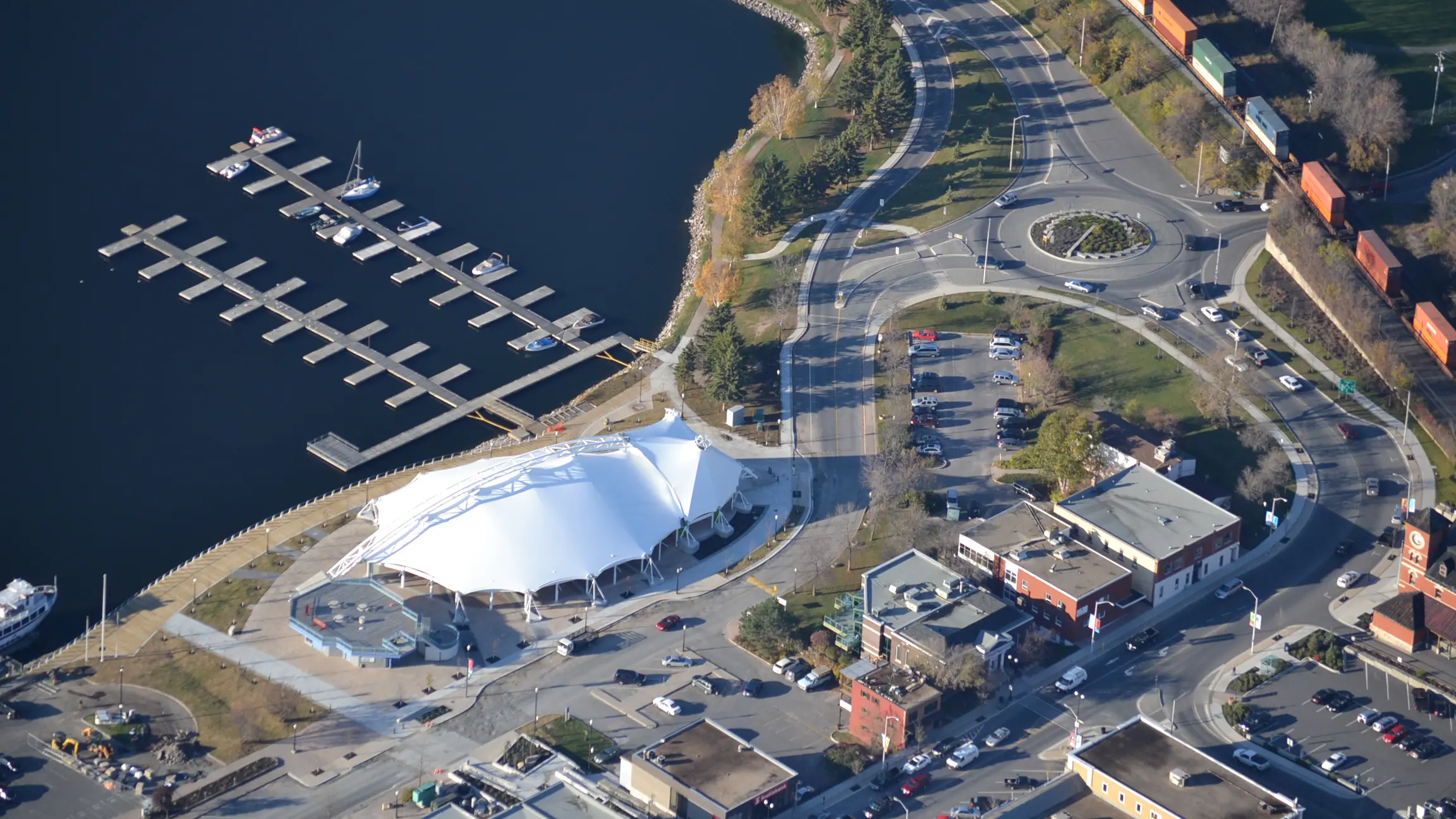
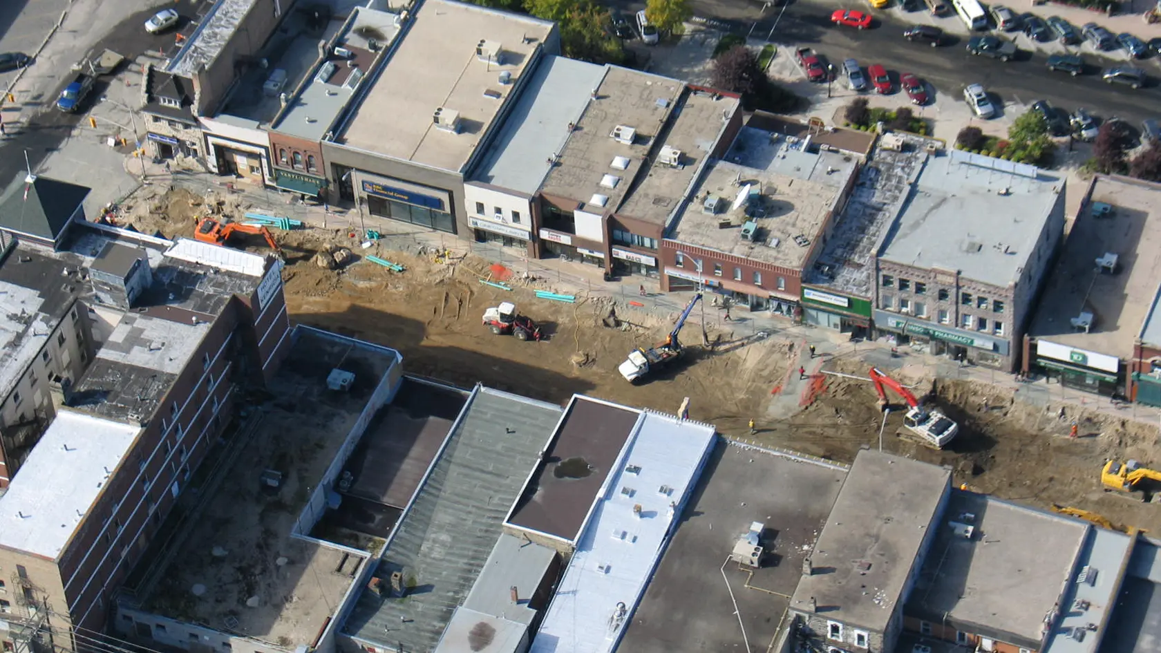
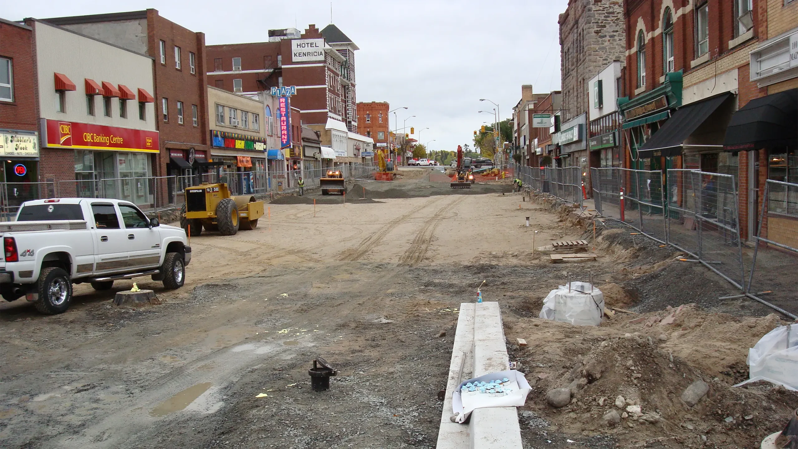
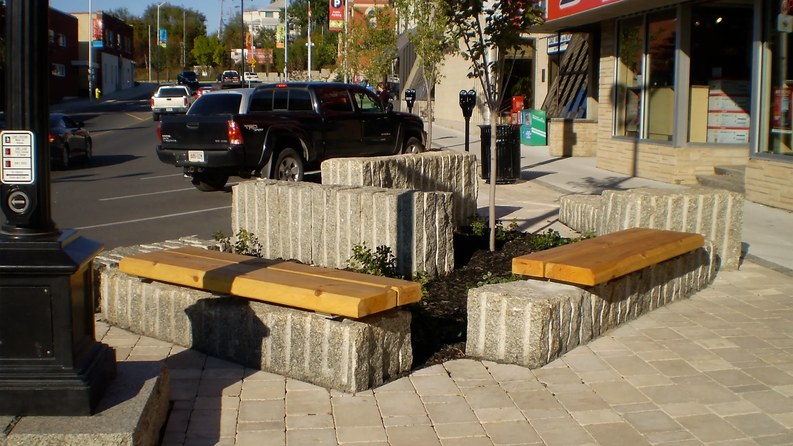
We provided design and contract administration services for a $9.1 million redevelopment of Kenora’s waterfront and downtown precincts – modernizing streets, public spaces and underground services while elevating the pedestrian experience and improving multimodal connectivity. A highlight of this project is utilizing our knowledge of the Complete Streets design methodology to create right‑of‑way that is safer for pedestrians, cyclists and drivers of all ages and abilities.
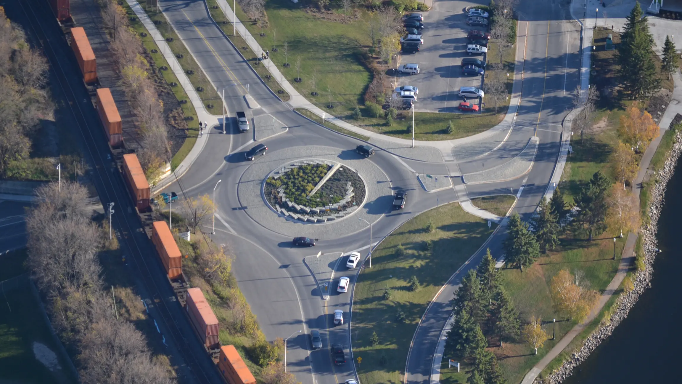
Working closely with the City of Kenora and stakeholders, the design addressed building interfaces, utility constraints and long‑term maintenance needs. Other major parts of the project included implementing traffic calming elements, pedestrian upgrades, underground renewal and drainage upgrades. Collaboration at focused user meetings resulted in one of the more significant changes from a signalized three-way intersection to the first modern roundabout built along the TransCanada Highway, improving safety and flow.
What was once an aging waterfront area, is now a vibrant pillar of the community that attracts visitors from near and far.
Project Highlights
- Street renewals and realignments across key downtown/waterfront corridors
- Construction of modern roundabout (the first along the TransCanada Highway)
- Sewer and water renewals with building service replacements
- Land drainage upgrades and coordinated utility relocations
- Multi‑use pathways and expanded active‑transportation network
- Boardwalk extension along waterfront for continuous access
- Tensile fabric event centre to support community programming
- Accessible design features – tactile‑delineated sidewalks and grading to meet guidelines
- Haptic roadway surfacing at intersections for traffic calming and awareness
Yellowquill Trail Relocation
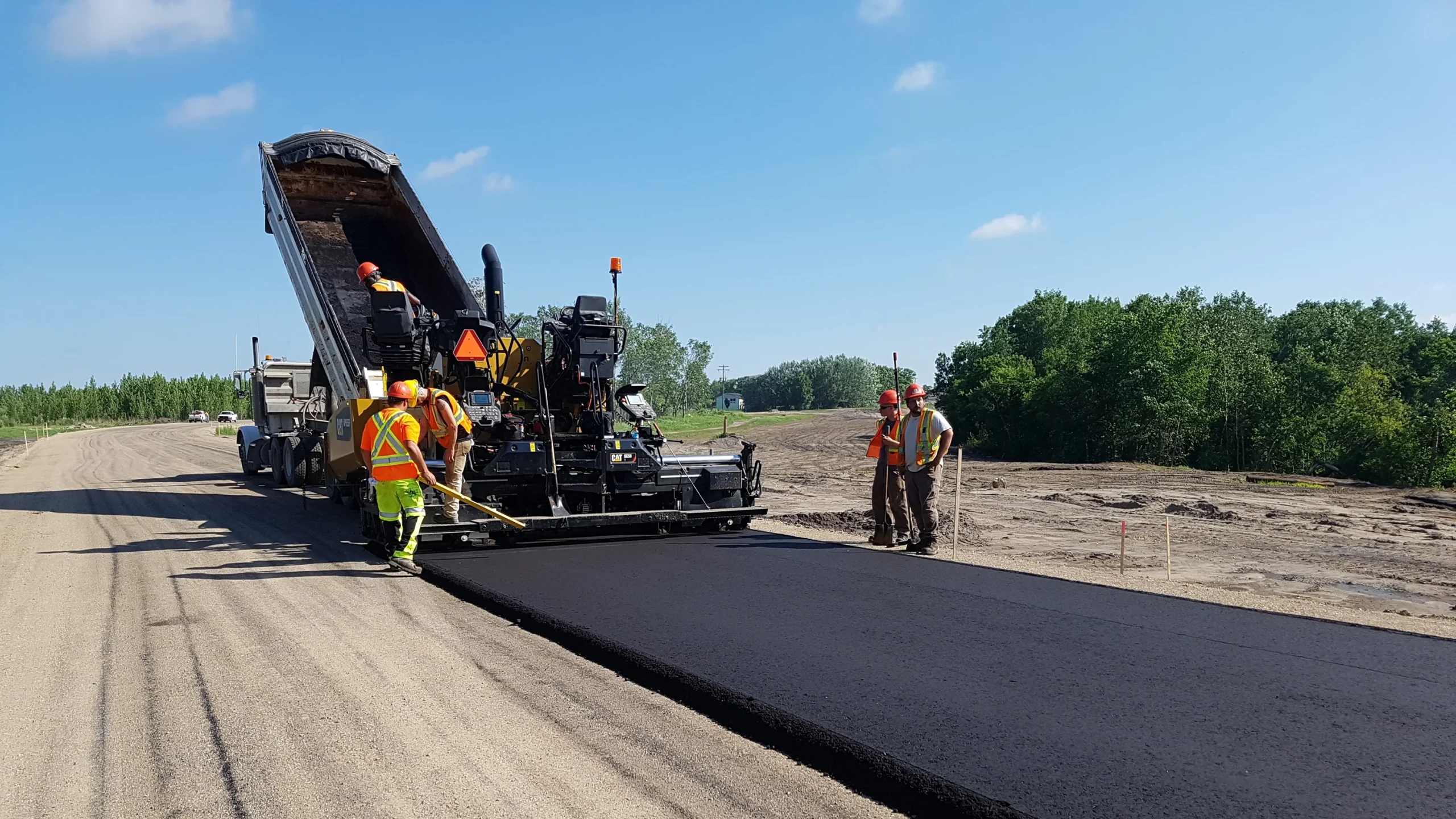
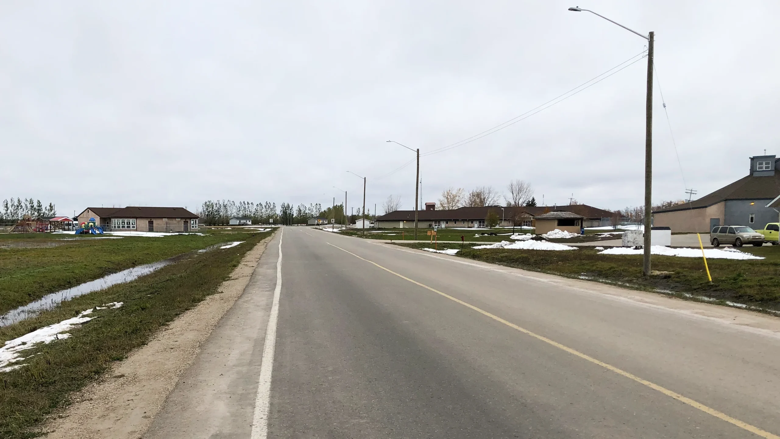
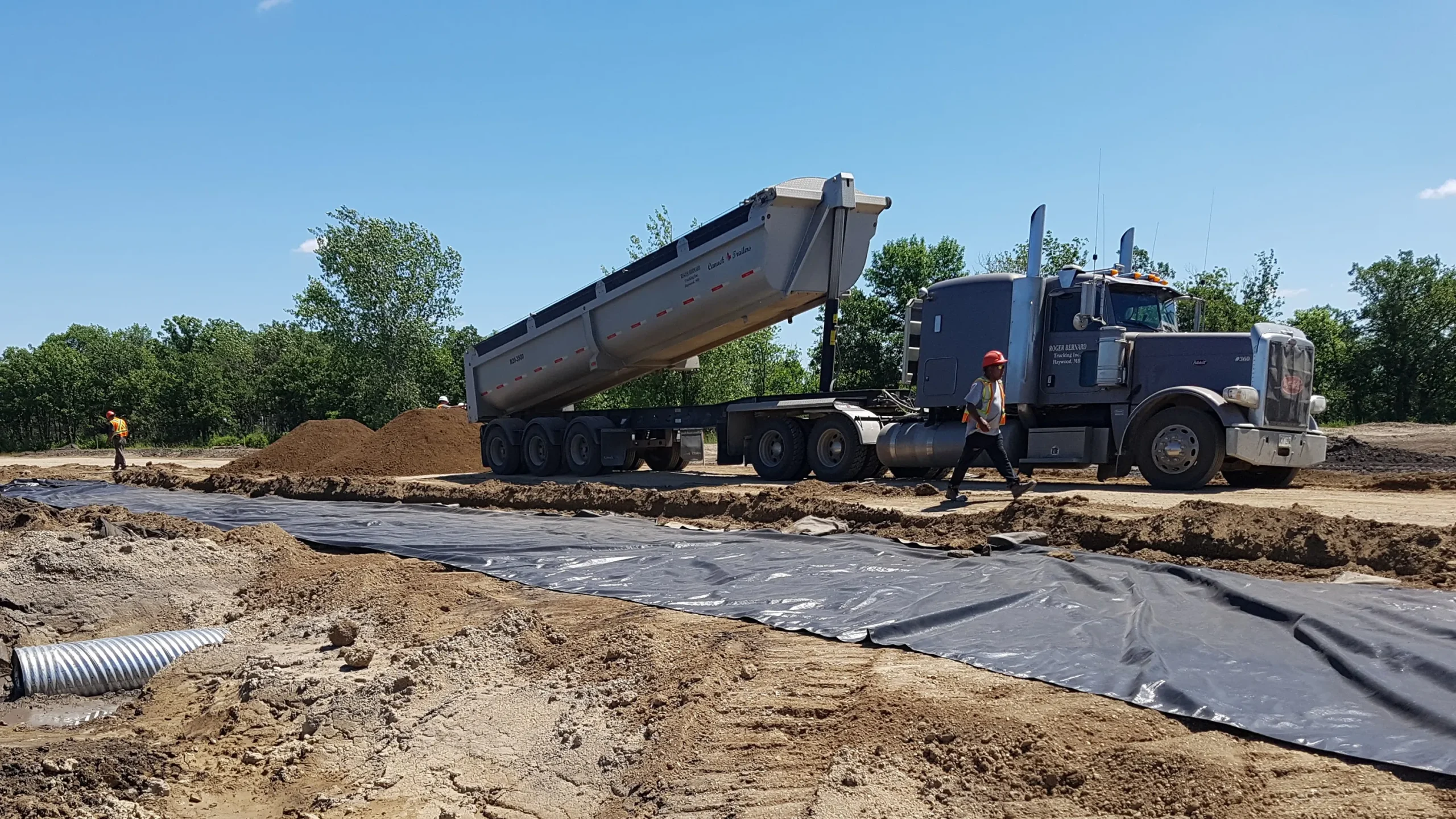
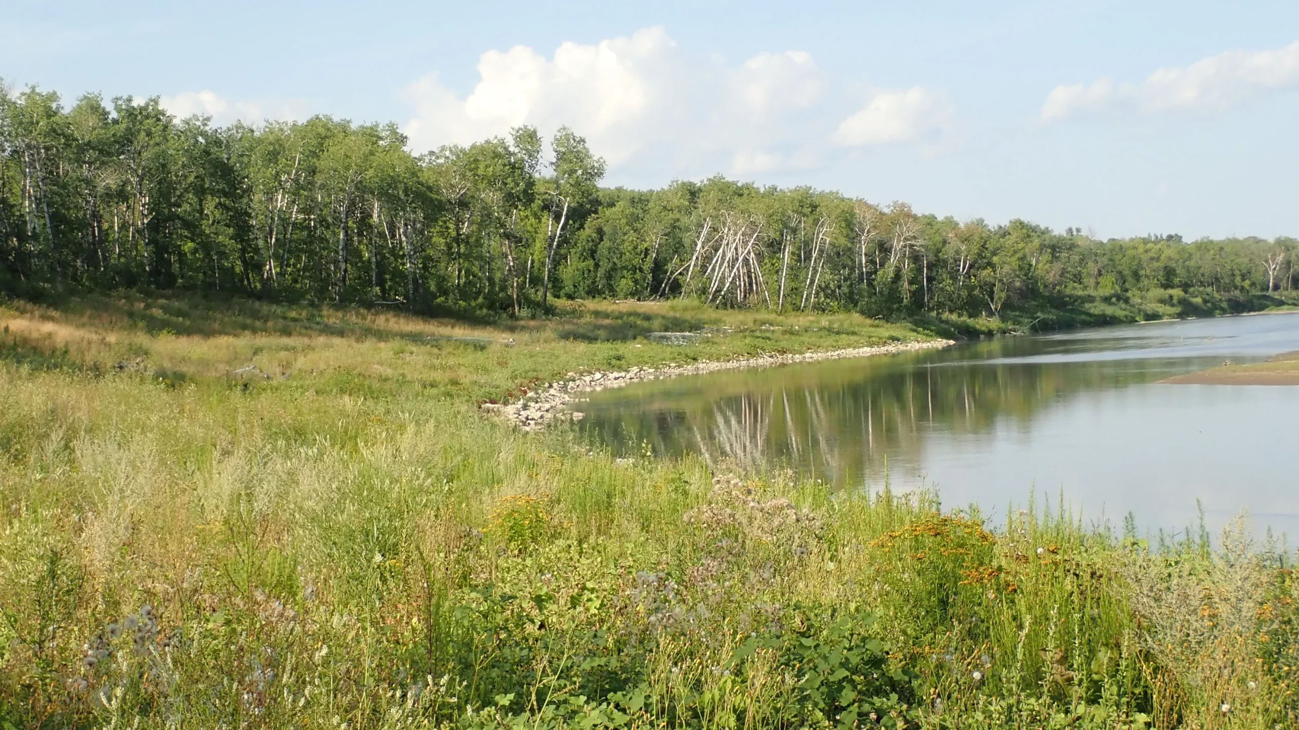
Heavy winds, rain and hail accompanied a tornado that touched down in Long Plain First Nation in 2016, causing riverbank movement that damaged Yellowquill Trail, the main roadway through the community.
KGS Group provided engineering services for the permanent re-establishment of the roadway, completing an extensive drilling and monitoring program, slope stability analysis and assessment of potential options for remedial riverbank works versus roadway and utility relocations. We also acted as the project contract administrators responsible for all environmental approvals, geotechnical investigations, riverbank stabilization as well as the municipal design of the new road alignments.
The result was a reliable roadway that will protect the community from future erosion and potential future encroachment on community infrastructure.
Project Highlights
- 500 metres of riprap erosion protection, riverbank regrading and drainage swale construction to protect the community from the long-term effects of erosion of the lower shoreline and potential future encroachment of community infrastructure
- Realignment of 1,600 metres of asphalt roadway for the new alignment of the Yellowquill Trail
- Installation of new water main, sewer, service connections and raw water along the relocated road
- Extensive revegetation design at the site, including revegetation with native grasses, trees, shrubs, and willows
PR 304 to Berens River All Season Road
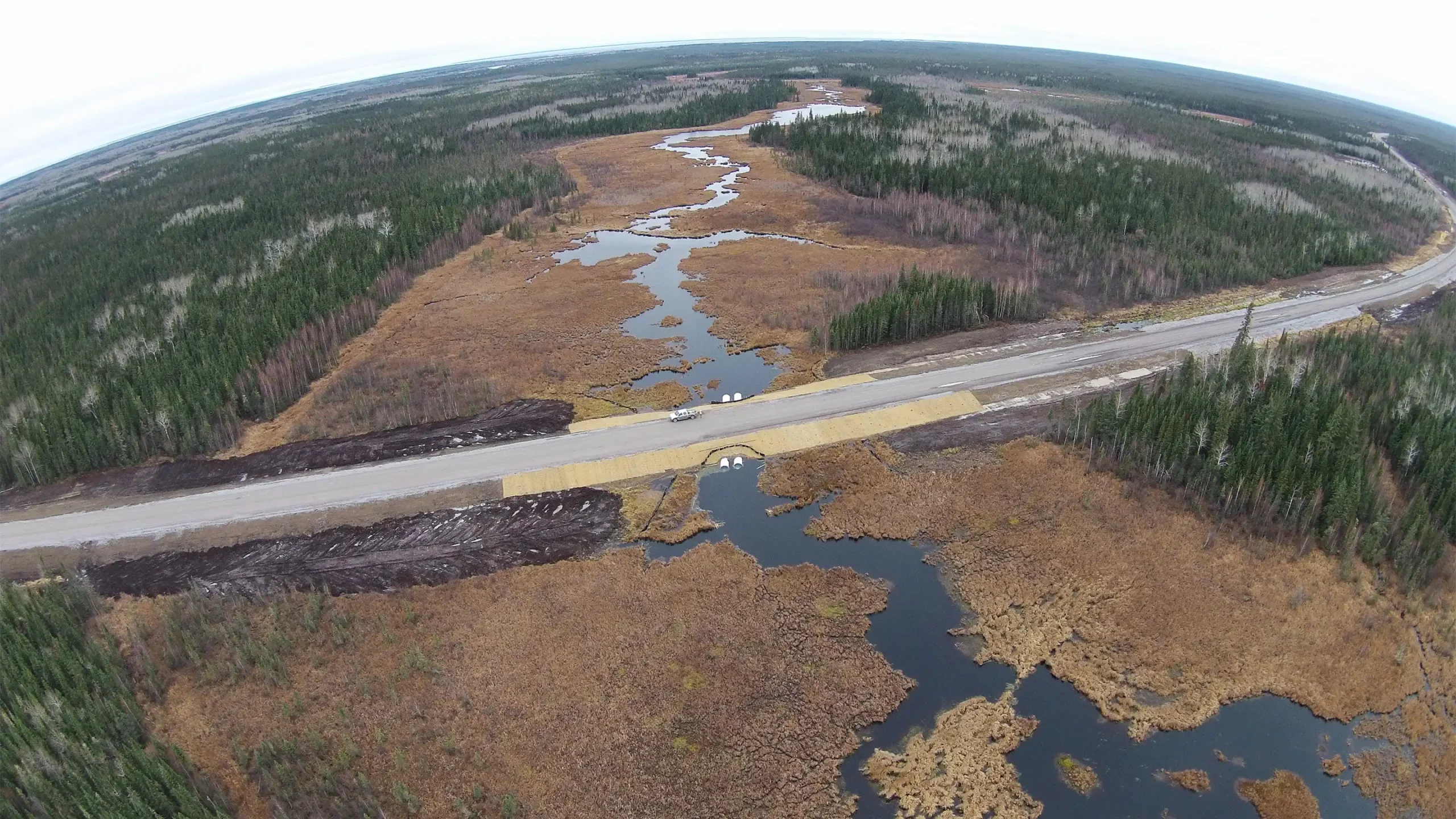
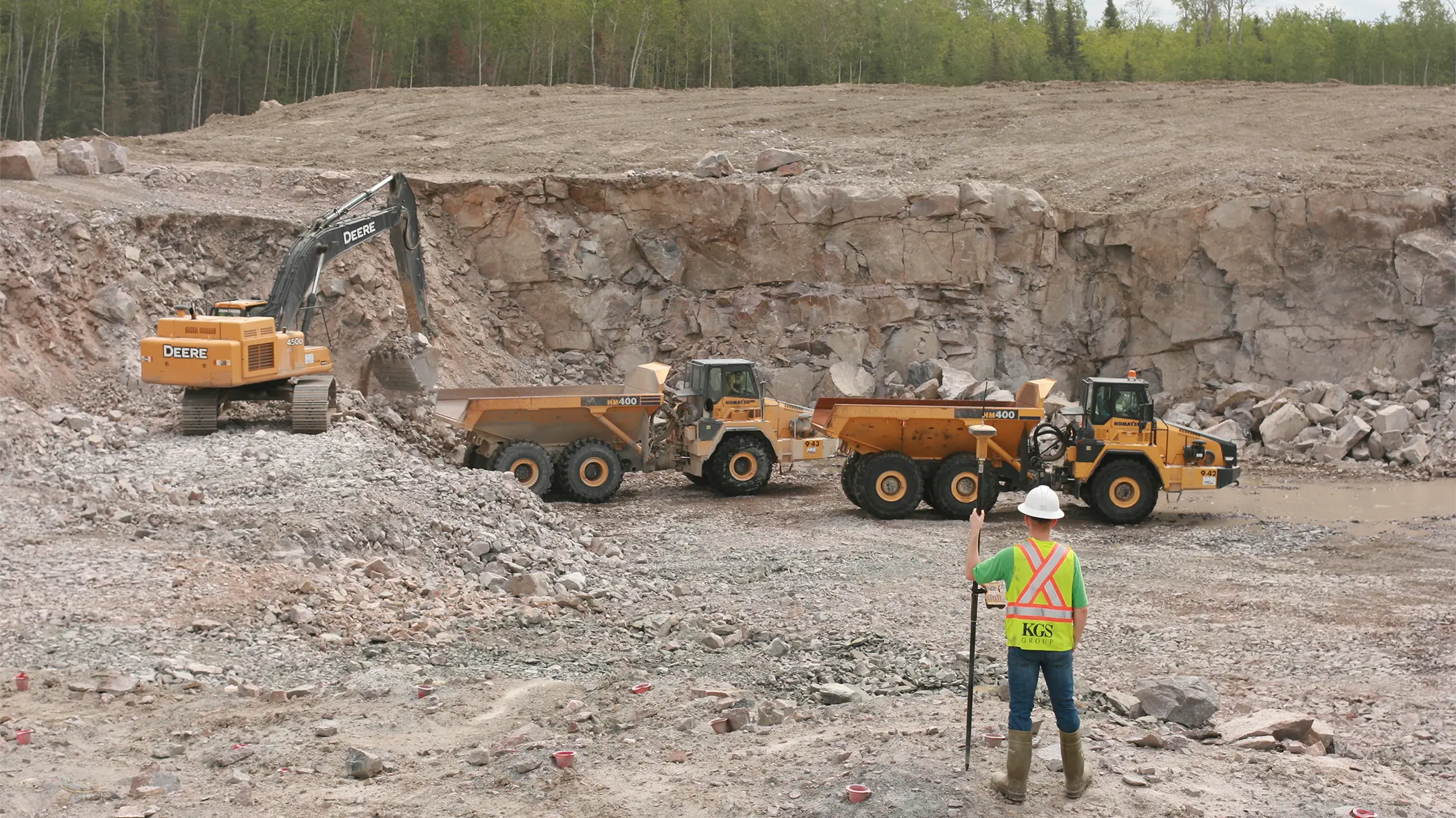
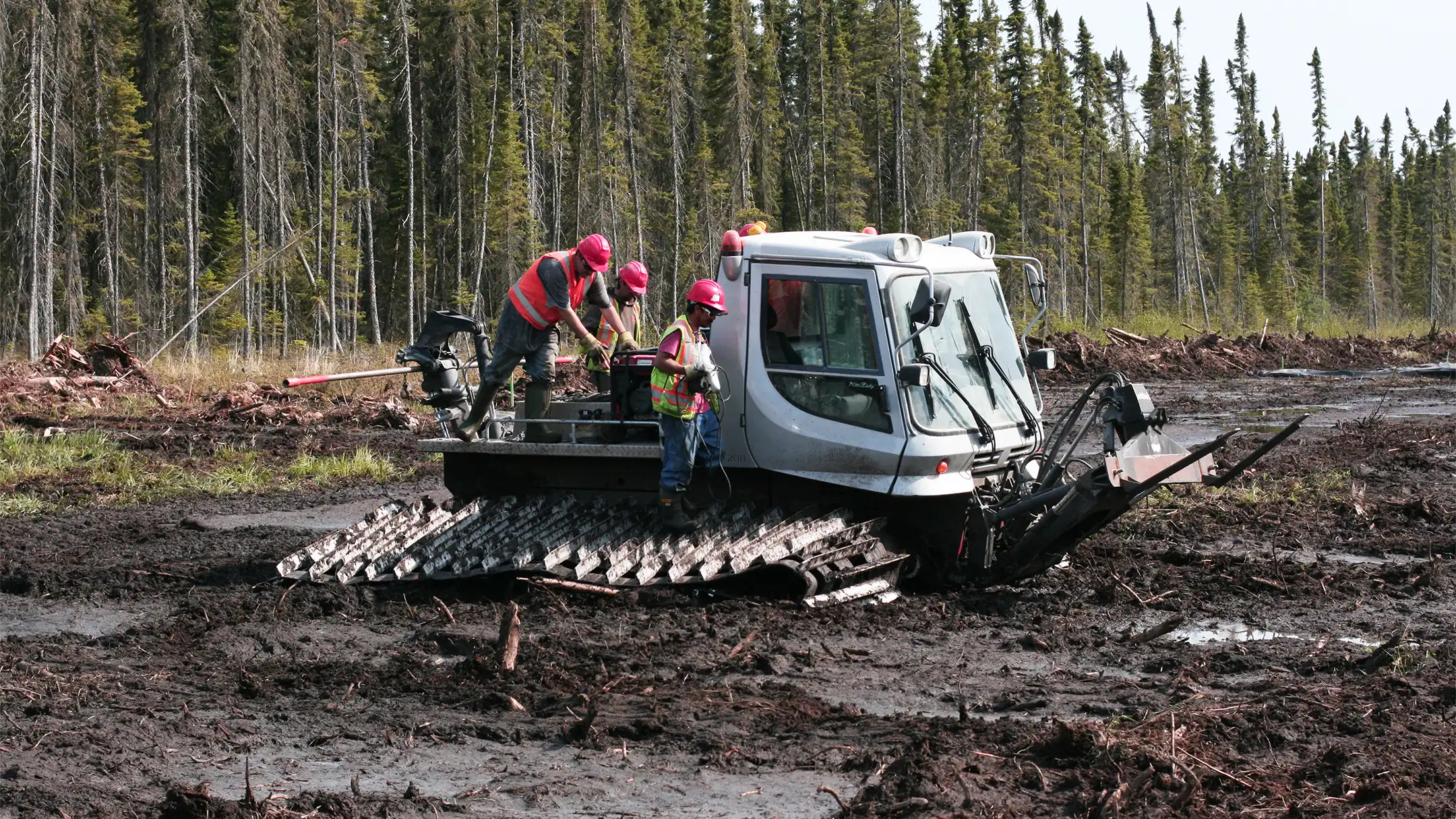
Lake Winnipeg’s east side is a provincial jewel, with vast stands of boreal forest, an abundance of wildlife and a vibrant traditional culture. Despite these assets, the lack of permanent road connectivity resulted in detrimental societal and economic impacts.
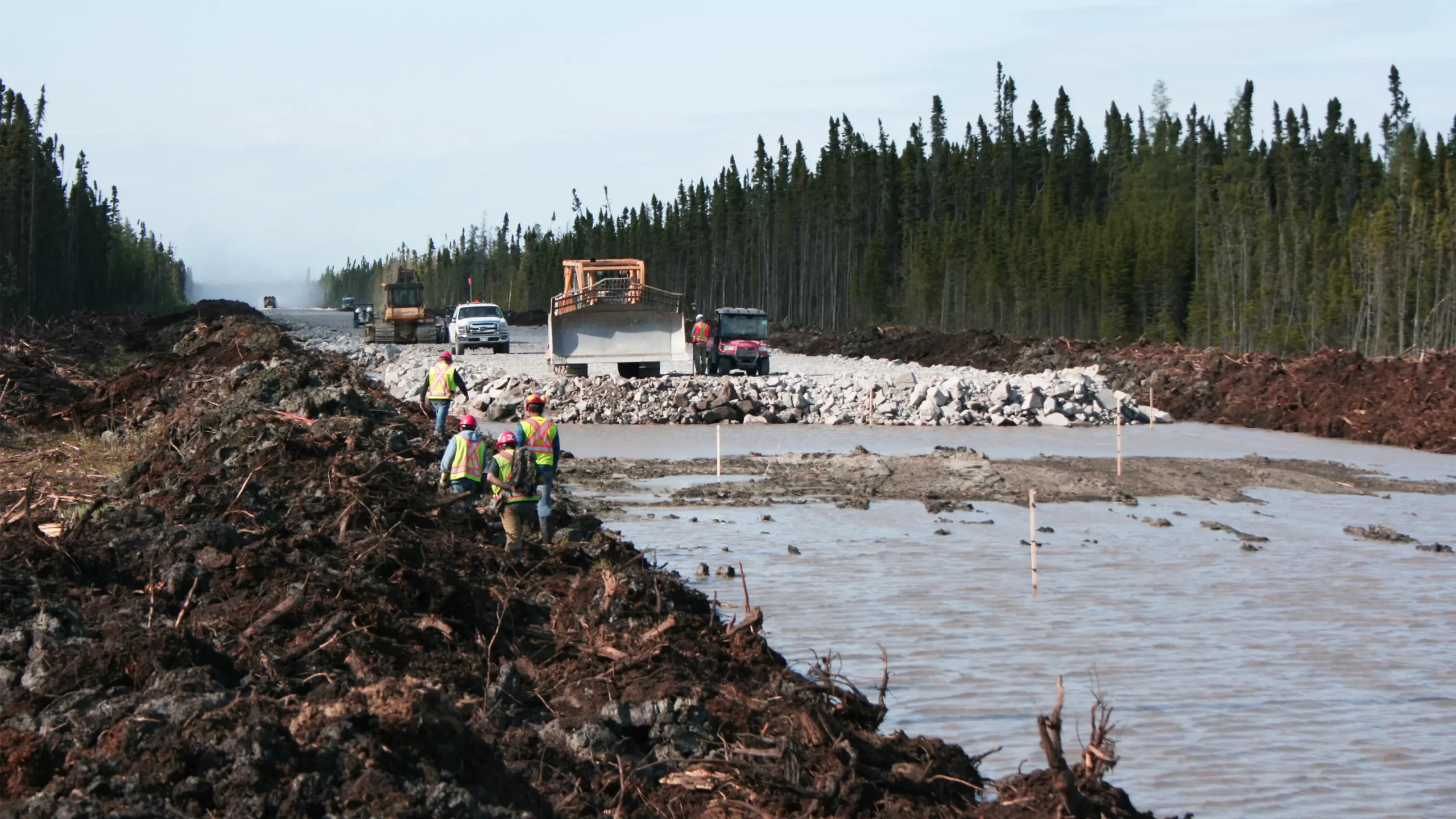
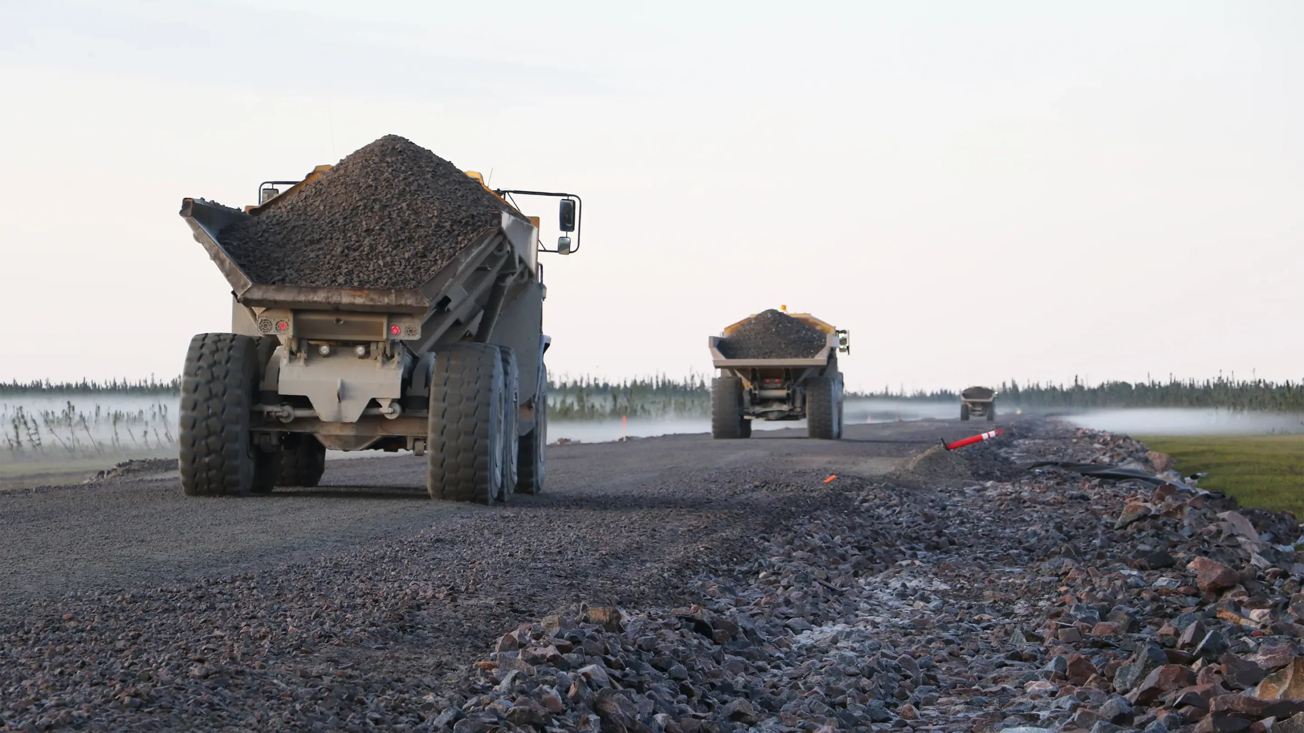
Recognizing the benefits of reliable access, KGS Group teamed with other firms to oversee the construction of a new 158-km all-season roadway including nine individual river crossings connecting to both Bloodvein and Berens River First Nations.
Over a six-year duration, KGS Group met numerous challenges including wide-ranging terrain, seasonal-access restrictions, limited accommodations, rigorous safety requirements, complex assignment sequencing, robust environmental protection measures and timely public liaison.
Project Highlights
- Construction of Manitoba’s first open-bottom, multi-plate arch culvert with MSE wall structure to protect fish habitat
- Coordination of external Community Benefit Agreements (CBA) for road aggregate production and tree clearing
- Application of ground-penetrating radar (GPR) studies to determine subsurface conditions
- Application of sonar mapping to determine and qualify bridge pier and abutment locations
- Application of Traditional Ecological Knowledge (TEK) studies to optimize final roadway alignments
Fort Severn First Nation Winter Road Relocation Study
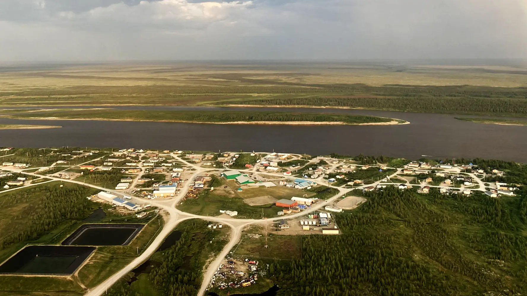
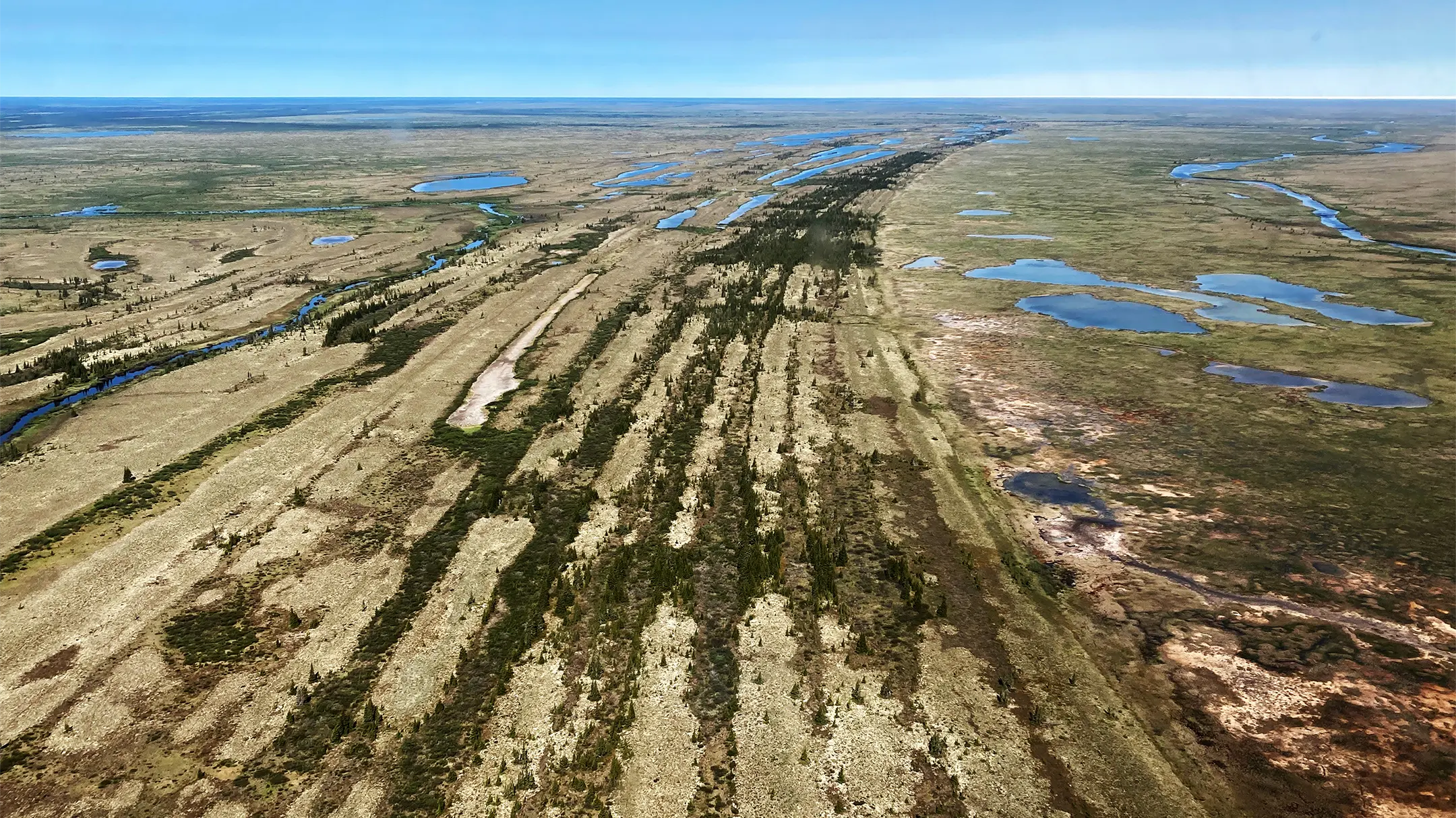
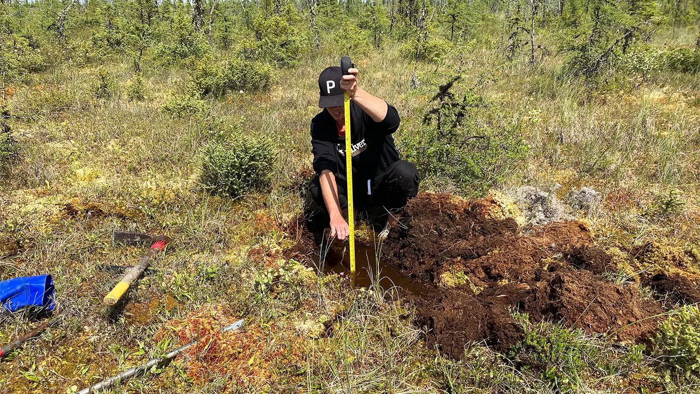
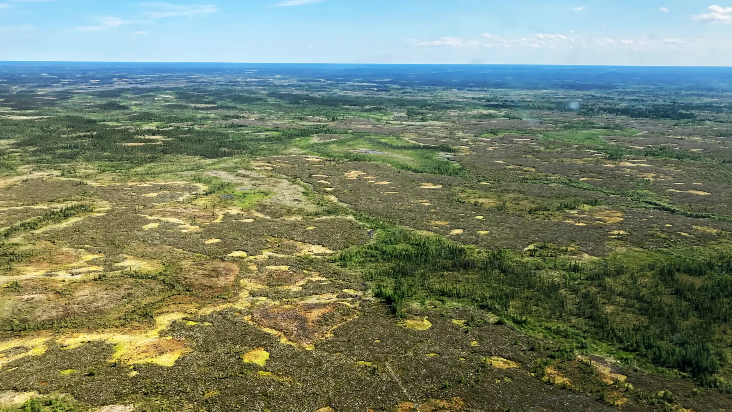
Winter roads have been lifelines for remote northern communities for decades. Inaccessible by permanent or all-season road networks, these communities rely on winter roads as a cost-effective means of ground transportation for goods and services such as the delivery of fuel, food, construction materials and equipment.
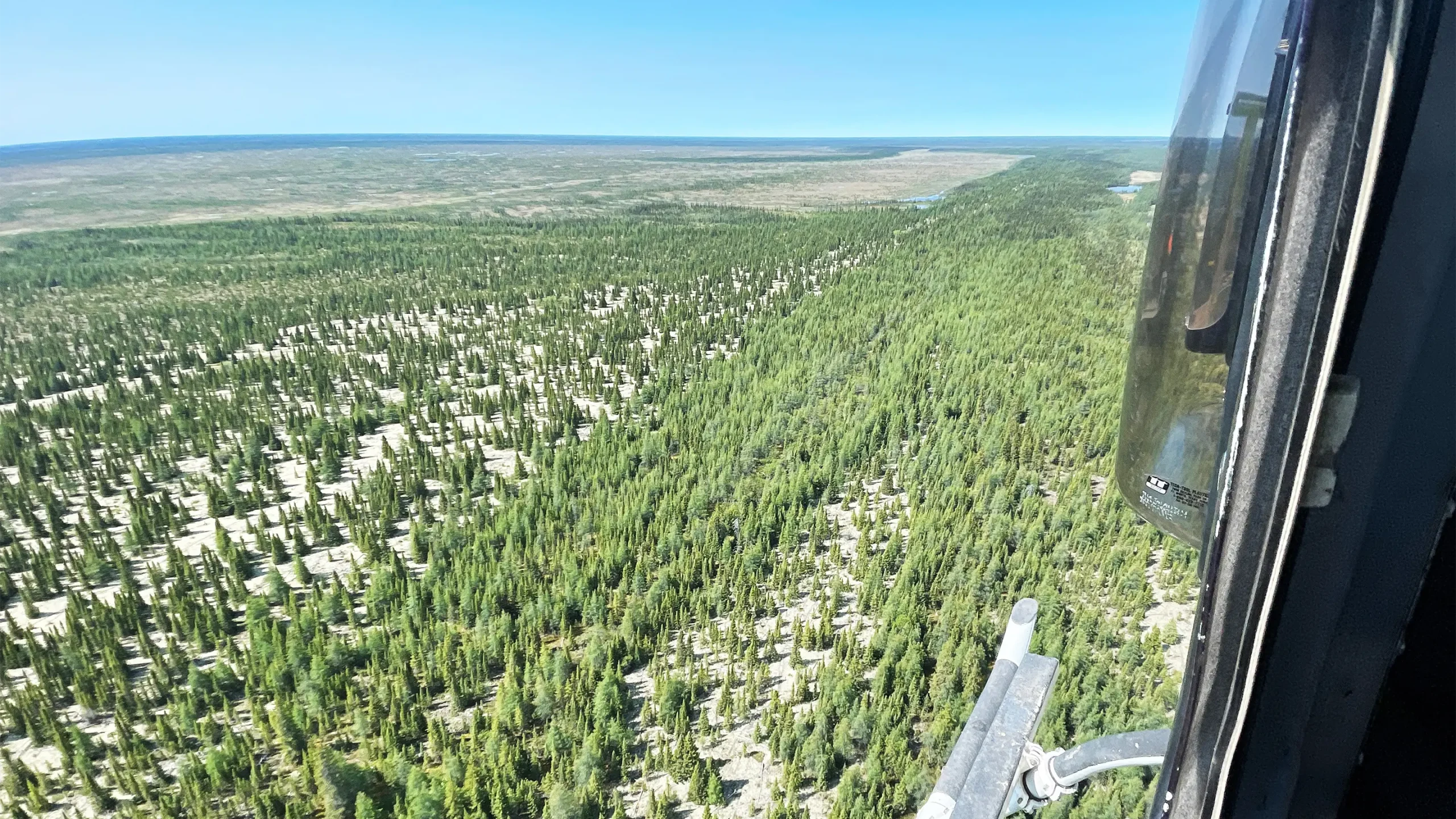
Fort Severn First Nation is the most northern community in Ontario, located at the mouth of the Severn River on the coast of Hudson Bay. Situated on the coastline with no permanent all-season road access, the remote community relies on their winter road network to transport supplies. Climate change has severely reduced the serviceability and sustainability of the Fort Severn winter road that was constructed through organic terrain and lakes.
KGS Group collaborated with the community, Keewaytinook Okimakanak, and environmental scientists to examine the feasibility of the relocation and redesign of the existing winter road. Alternative options were developed by using climate sensitive routing and construction strategies optimized through geotechnical investigations and a helicopter reconnaissance program. The team prioritized options that were adaptive to climate warming and minimized overall environmental impact while keeping cost in mind. Preliminary environmental studies were also completed to initiate some of the environmental work that would be required as part of an environmental assessment process.
The final result of the study includes a plan for a climate-resilient winter road that will enable vital access to the community despite the challenges of climate change. This new approach to re-routing winter roads considers environmentally and culturally sensitive areas while setting the community up for future all-season access.
Project Highlights
- A plan for the relocation and redesign of the existing winter road across organic terrain and lake crossings with climate-sensitive route planning to look at alternative options
- Preliminary environmental studies were completed to initiate the work required as part of the assessment process
Moose Jaw Transportation Master Plan
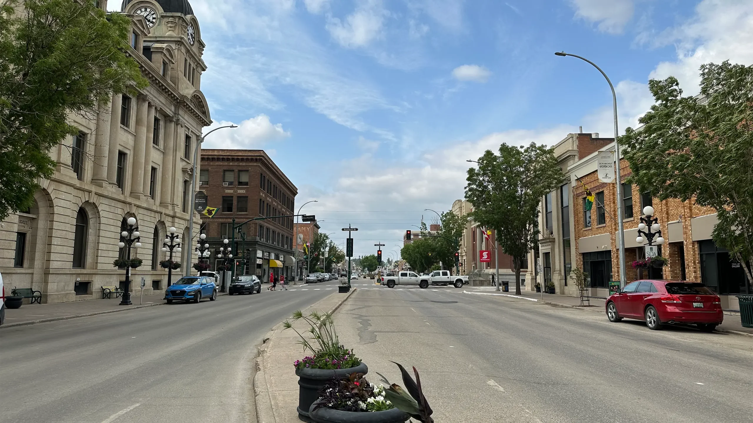
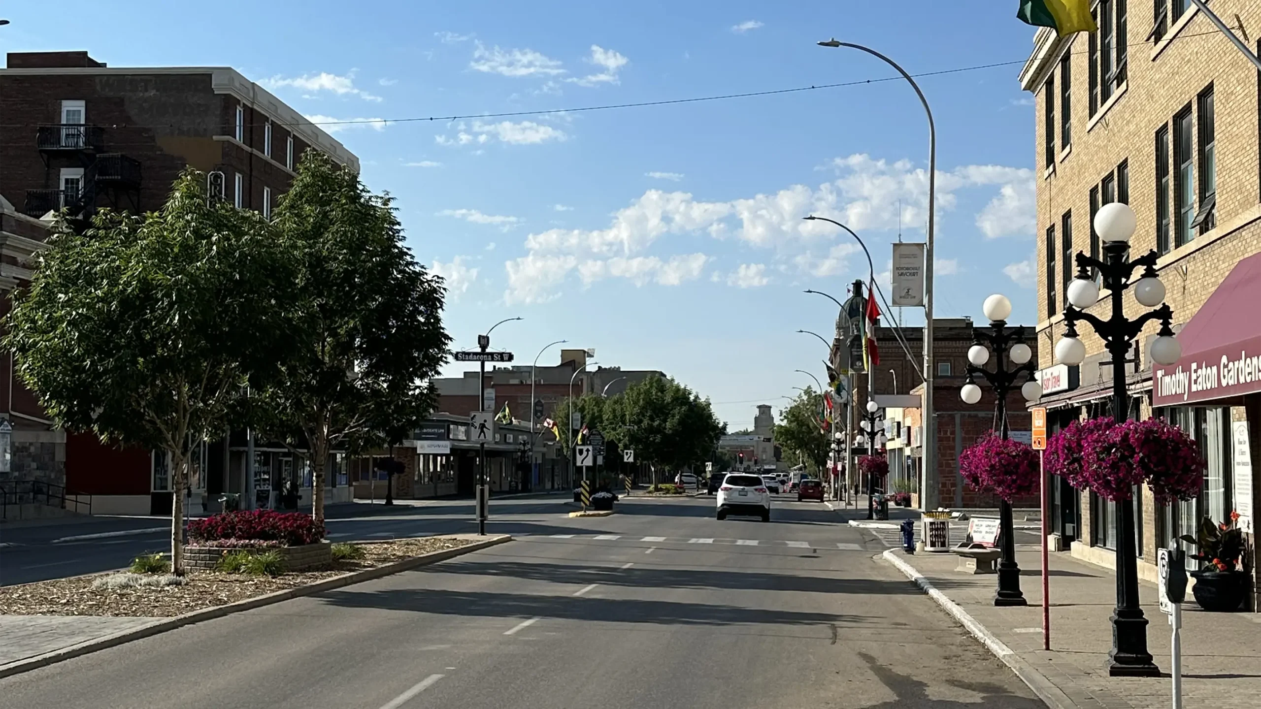
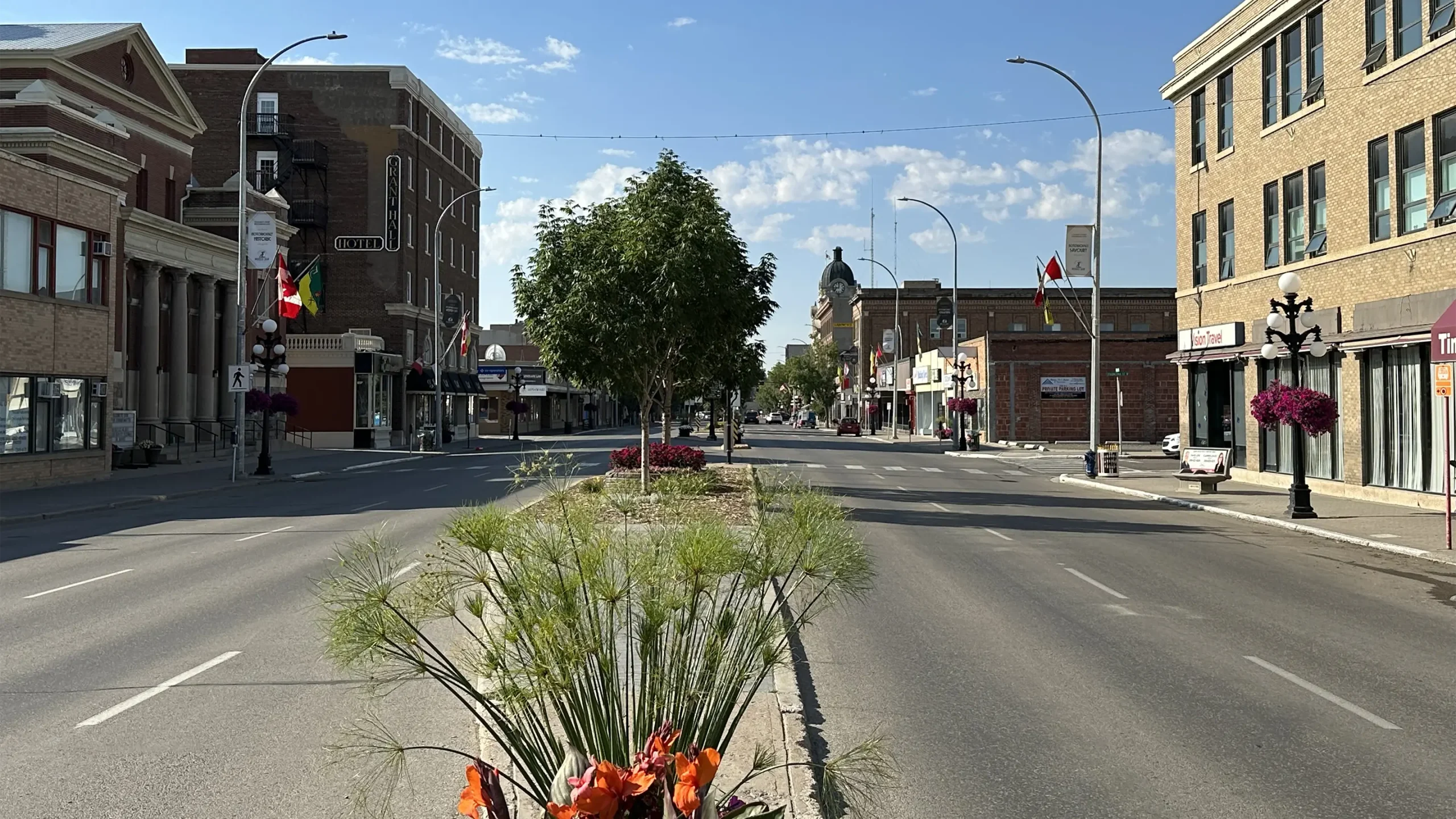
The City of Moosejaw needed a cohesive transportation master plan that addressed vehicle operations, transit, walking, cycling, rail interfaces and asset renewal, while recognizing the domino effect that can happen when one of these components changes.
KGS Group completed a city-wide, evidence‑based review through coordinated micro‑studies. The work assessed operations, multimodal gaps, school‑area safety, asset condition and signals, then integrated findings into a single, actionable plan with clear priorities and phasing over the next 10 years.
The plan provides a prioritized program for corridor upgrades, active transportation connections, transit improvements, school‑area safety measures and pavement/sidewalk renewal, giving Moose Jaw a practical path to meet mobility needs over the next decade. The plan aims to deliver a safe, efficient, and sustainable system that serves residents, businesses and visitors, aligning day‑to‑day mobility with long‑term growth.
The final plan will serve as a blueprint for decision-makers, guiding investments in transportation infrastructure and ensuring that Moose Jaw remains a vibrant and connected community for years to come.
Project Highlights
- Traffic operations review of over 50 intersections, traffic flow improvements identified along four arterial corridors, assessment of over 25 railway crossings for control and signage requirements
- Safety review of all 20 schools in Moose Jaw
- Block-by-block pavement condition review of over 220 km of roadway
- Ensured community feedback from over 40 organizations through two online surveys, a public open house and updates to City Council and staff members, with an emphasis on safe, accessible and sustainable mobility choices
- Developed over 70 recommendations in a phased implementation strategy, including immediate-, short-, medium-, and long-term actions to address current and future transportation challenges
Grand Coulee Access Road Inspection Improvement
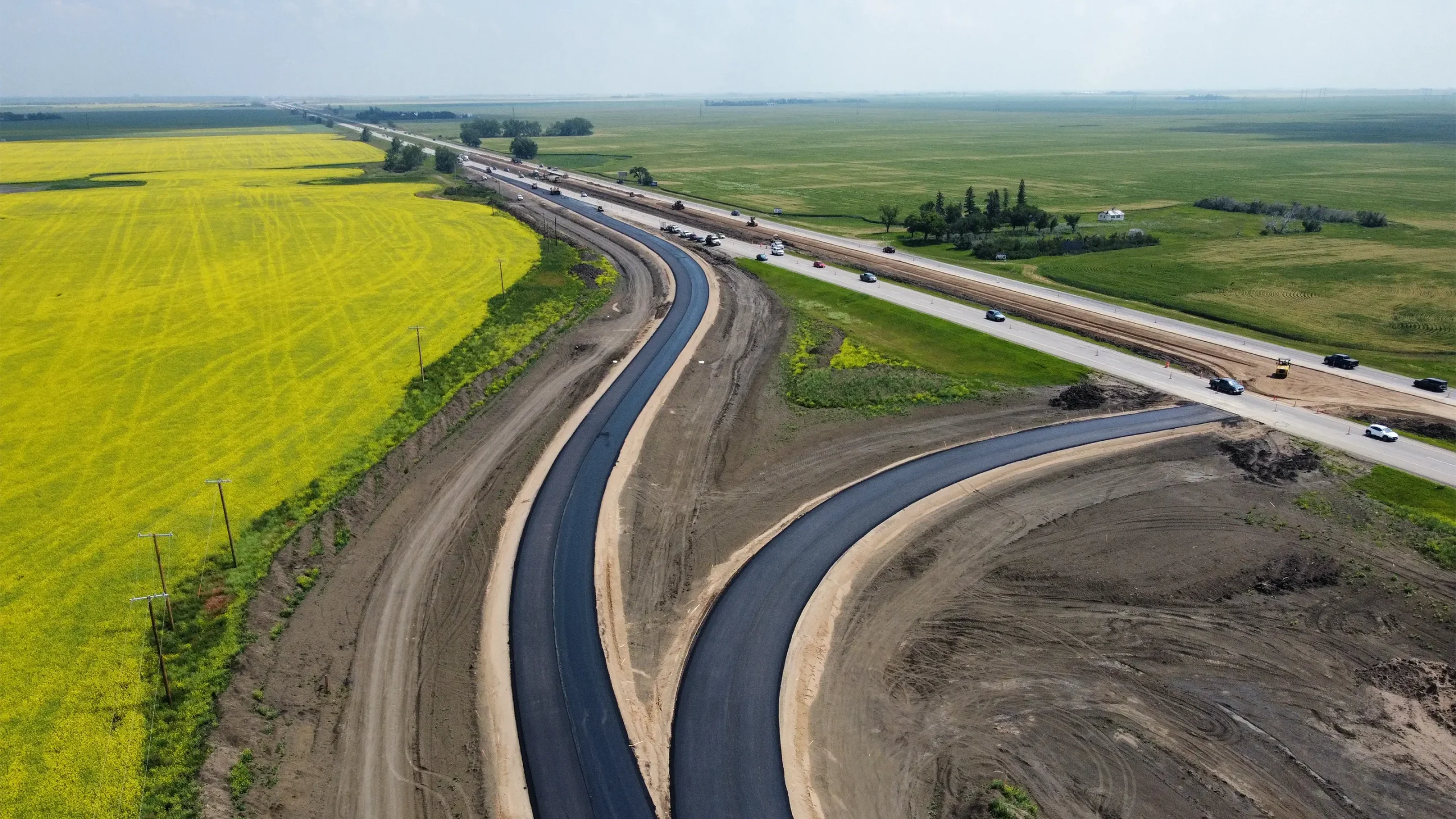
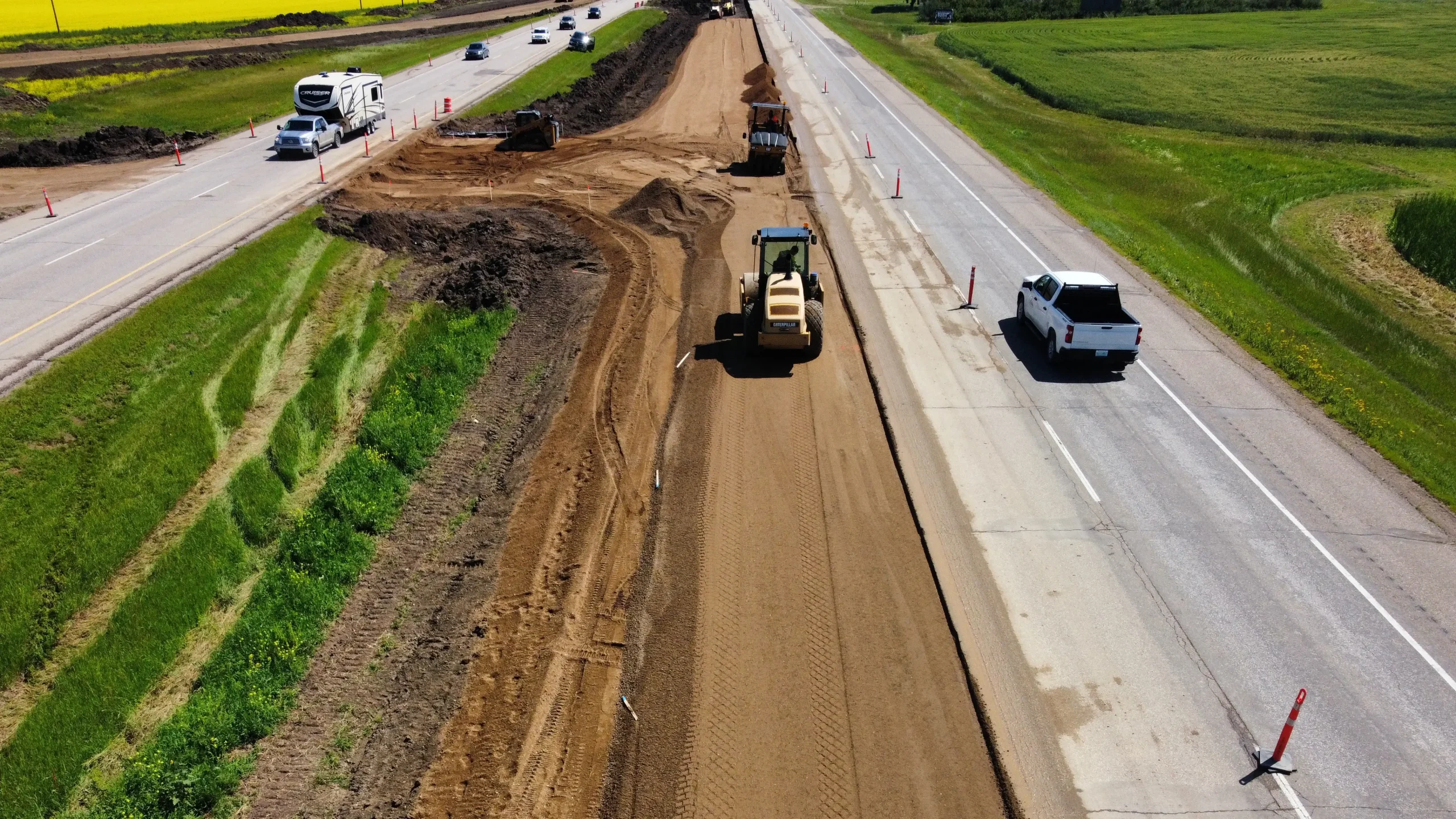
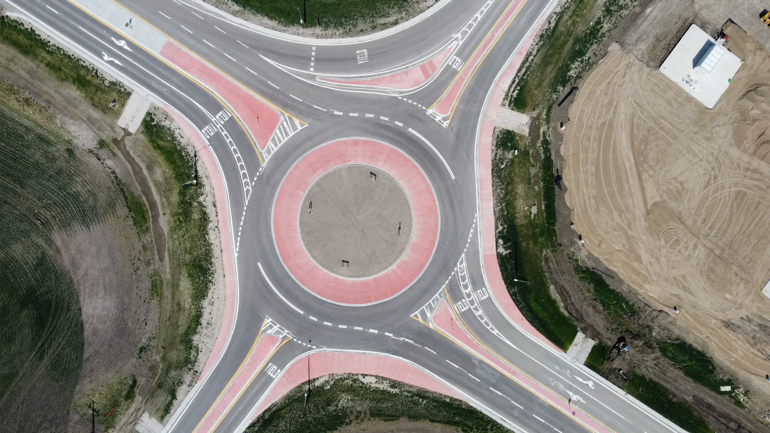
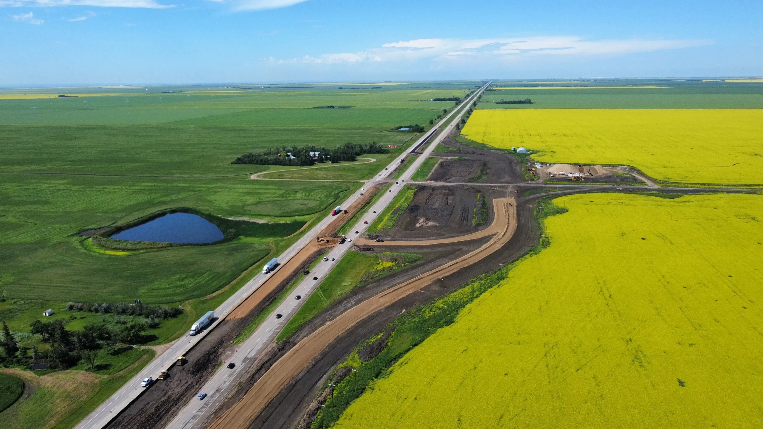


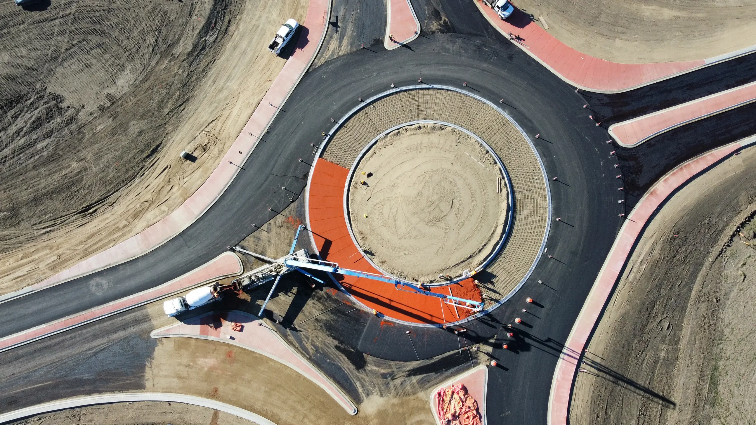
The Saskatchewan Ministry of Highways was open to piloting an innovative design to provide a safer and more efficient way to manage traffic accessing a truck stop at the Grand Coulee Access intersection just east of Regina on Highway 1.
The primary objectives of the design were to enhance safety, simplify traffic operations and reduce vehicle conflict points. The selected design defers the need for a costly overpass while significantly lowering collision risk. The intersection was required to accommodate large commercial vehicles, align with future network plans, and be delivered quickly and cost‑effectively.
KGS Group staff led all phases of the work—from functional planning through detailed design and construction administration—for this unique intersection. The team evaluated five alternative concepts and selected what is described as an offset left turn configuration with integrated roundabout that simplifies driver decision making. The design addresses staging and drainage while maintaining traffic flow at the location.
Now fully operational, the intersection provided upgraded highway conditions that improves safety and capacity while preserving travel times. Construction was completed under live traffic conditions through carefully managed detours and coordinated drainage control. The project delivers a practical, replicable model that can be applied at similar highway locations in the future.
Project Highlights
- Large turning movements enabled while keeping low speeds
- PG‑64 asphalt binder for rut‑resistance under heavy turning loads
- Precise culvert installation and ditch grading to maintain surface drainage through shallow grade changes
- Delivery under live traffic that can be positioned as a case study for low-cost, at-grade treatments on similar corridors
Arcola Avenue Corridor Study
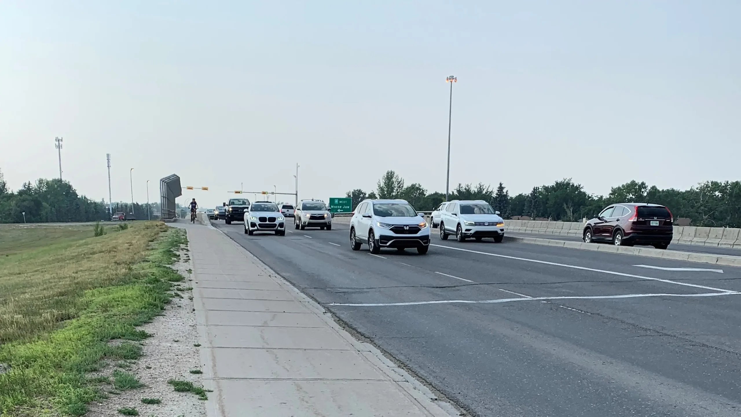
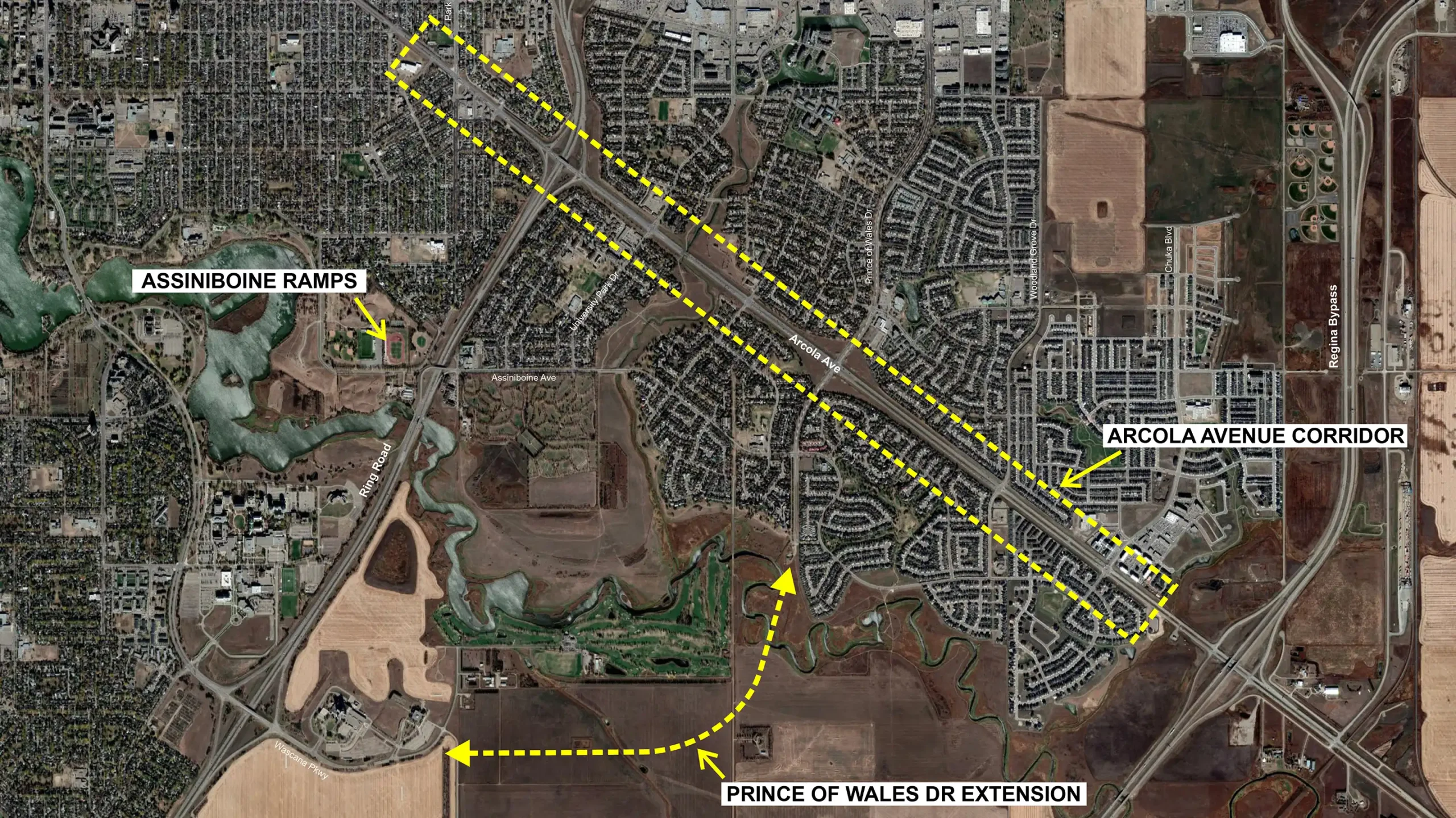
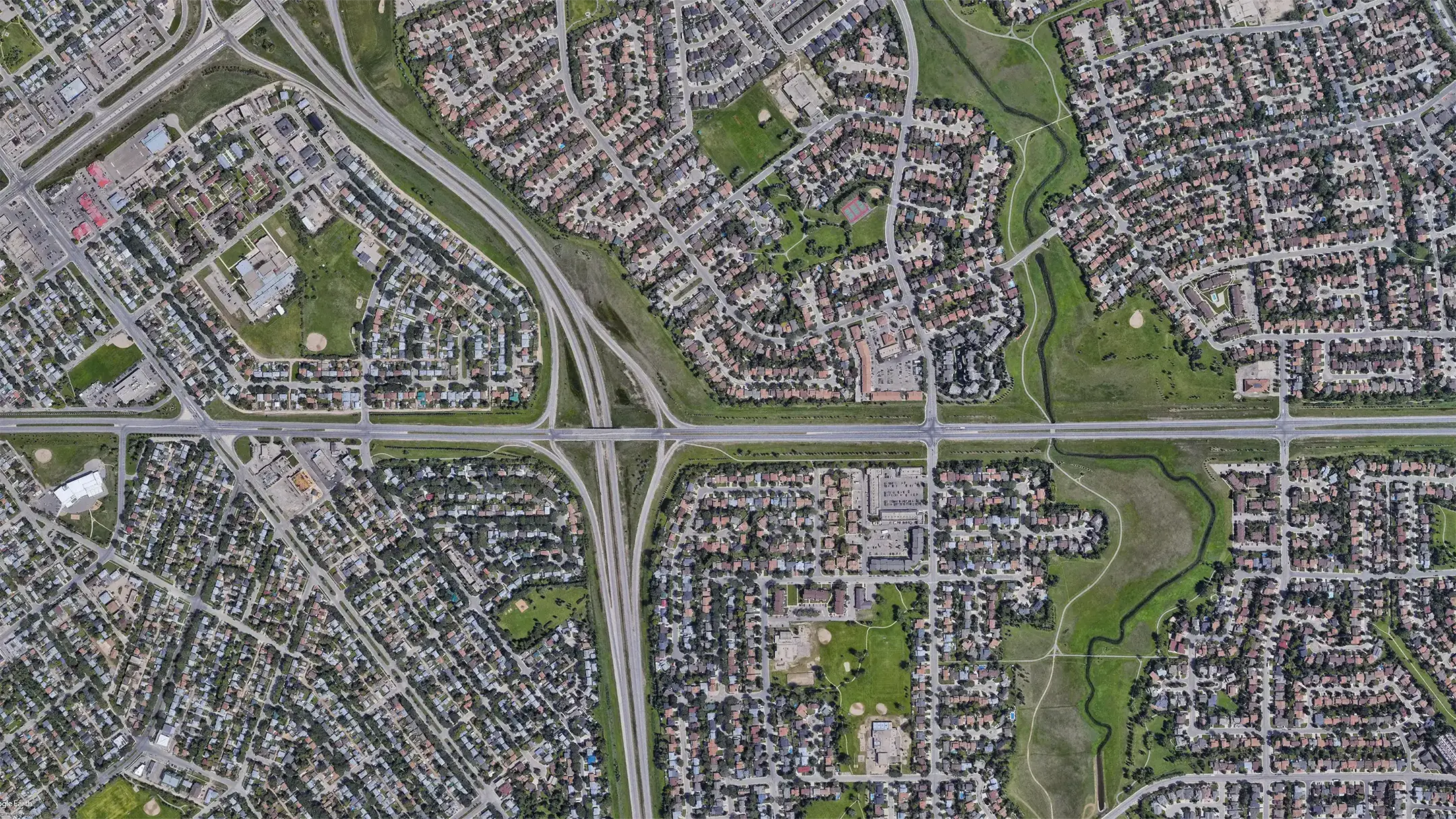
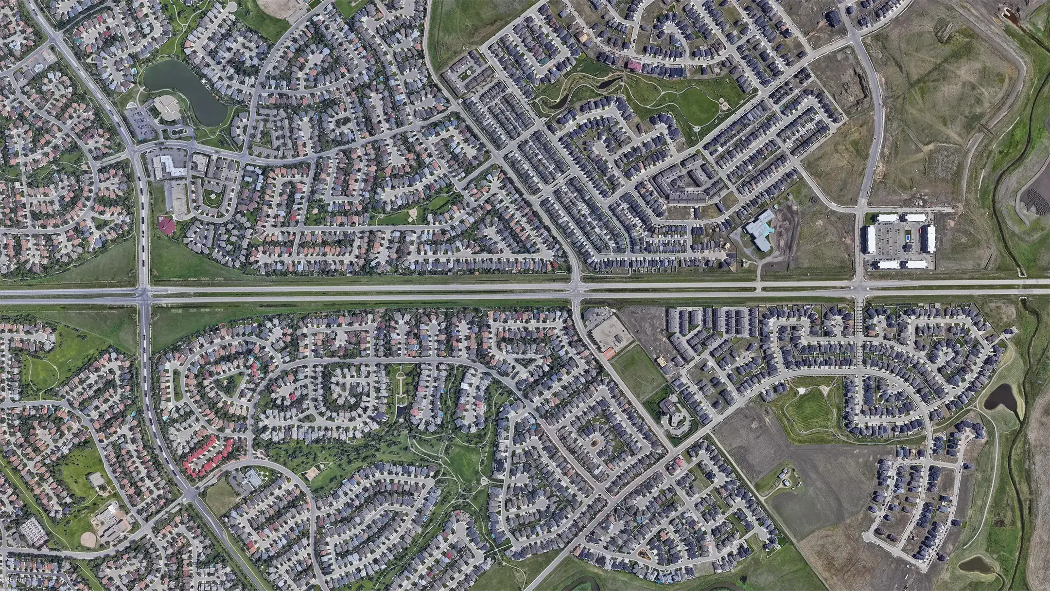
The Arcola Avenue corridor in southeast Regina, Saskatchewan serves 45,000 vehicles each day. Due to rapid residential growth in the surrounding area, the City of Regina wanted to establish a plan that addressed both existing traffic and future travel needs considering the anticipated population growth. The need for this assessment was compounded by the fact that there are limited alternative routes to access southeast Regina.
The scope of this study included traffic forecasting and micro simulation and detailed examination of transit, cycling and pedestrian needs. Additional consideration for how one network change could impact signal timing at other intersections and change commuter travel paths in the network was also studied. Further, several surrounding network changes, that could impact the recommendations for this important corridor, were explored in the study.
The study identified a future plan for the Arcola Avenue corridor operation, including a recommended interchange layout that would serve future travel demand for this growth area. Recommendations covered active modes improvements (pedestrian, bike, and transit), geometric improvements, signal timing changes, and new roadway infrastructure required to reach a 300,000-population horizon for Regina.
Project Highlights
- Traffic forecasting and scenario development using observed volumes of 45,000 vehicles per day
- Active transportation improvements plan
- Signal timing and coordination updates
- Turn lanes, auxiliary lanes, channelization and intersection reconfiguration for safety and throughput
- New roadway infrastructure recommendations to distribute demand and improve network resilience in southeast Regina
- Short‑, medium‑ and long‑term sequencing aligned with growth and funding readiness
Economic Value of Truck Routes
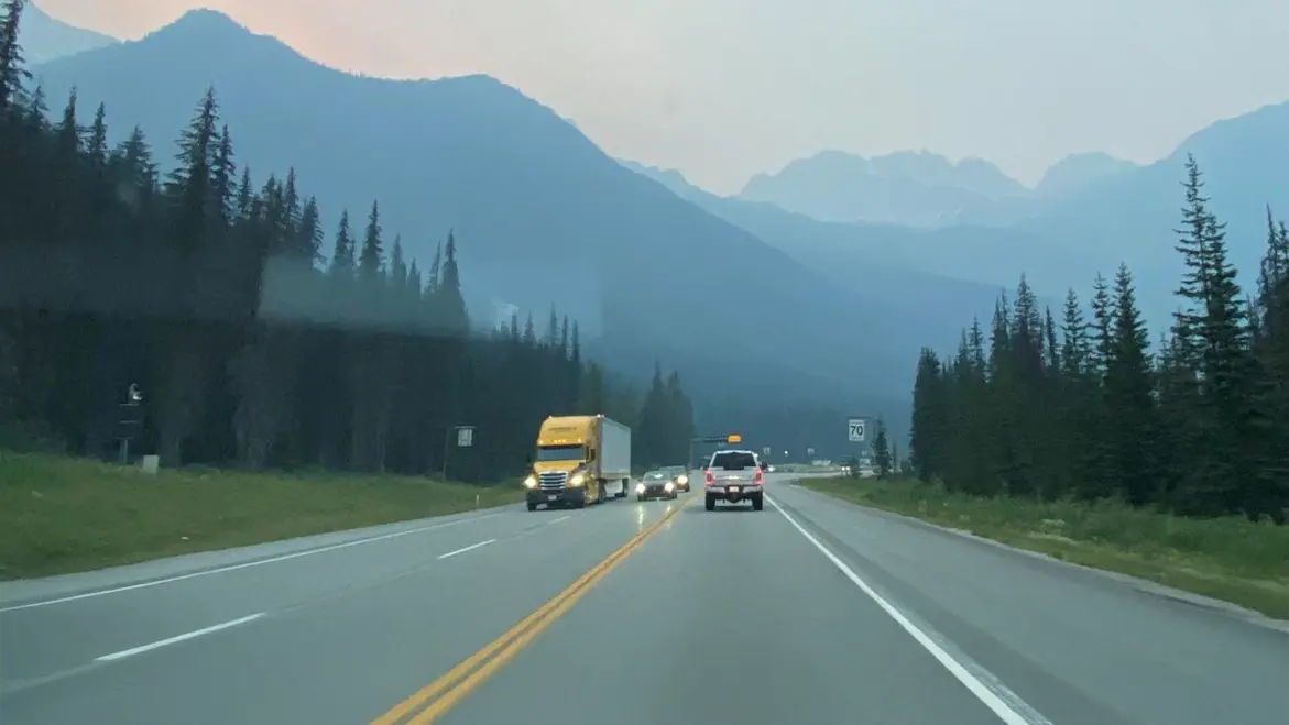
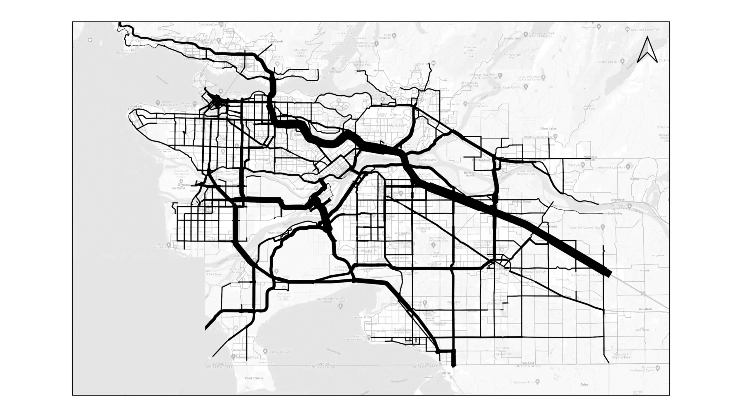
Working with TransLink, we assessed the economic value of the Lower Mainland’s Truck Route Network (TRN) using the Commercial Vehicle Model (CVM). The multi‑phase study developed value and tonnage inputs and produced actionable corridor‑level insights to inform planning and investment decisions across four freight market sectors regional, inter-regional, gateway and cascade.
Working in phases, our team validated data sources and literature, built and integrated CVM inputs and generated origin to destination matrices to represent commodity movements as truck trips. The final analysis quantified value and tonnage across key freight corridors and summarized TRN statistics for Vancouver, highlighting top commodities and network patterns to inform policy and operations.
This project was completed by MORR Transportation Consulting Ltd. prior to its acquisition by KGS Group.
Project Highlights
- Assessed the economic value of the Lower Mainland’s Truck Route Network
- A multi‑phase study developed value and tonnage inputs and produced actionable corridor‑level insights to inform planning and investment decisions
Winnipeg Pedestrian and Cycling Strategies
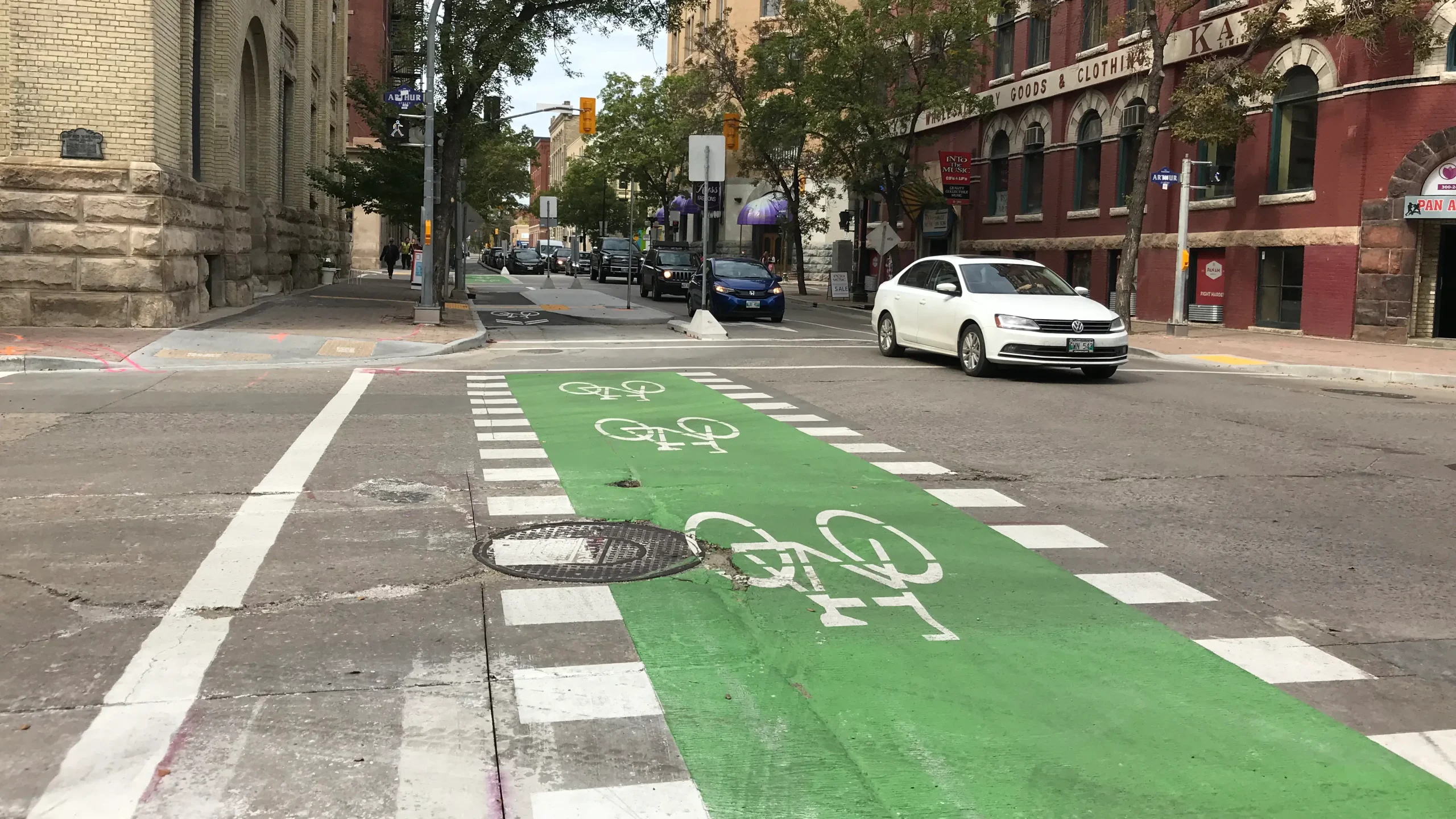
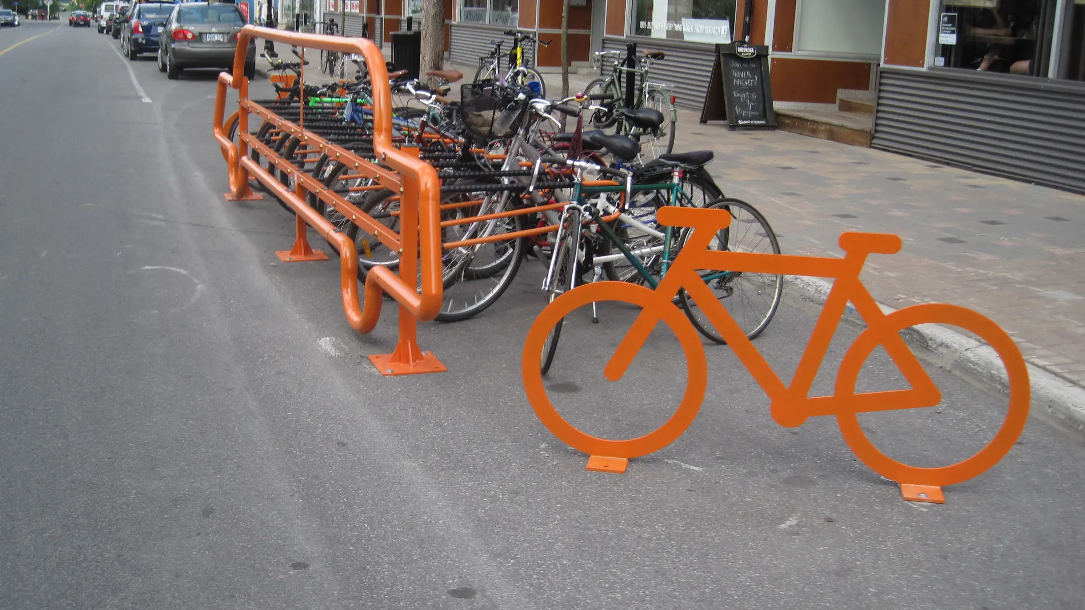
Working with the City of Winnipeg, KGS Group created a comprehensive strategy to increase the use and safety of walking and cycling paths throughout Winnipeg. Utilizing extensive stakeholder and public consultation, we developed a vision for walking and cycling in Winnipeg. This strategy included identifying goals and objectives as well as creating over 100 short-, medium- and long-term action items to achieve them.
We also developed an implementation plan that prioritized infrastructure investments and established detailed direction for policy, infrastructure and programming towards implementing the vision.
This project was completed by MORR Transportation Consulting Ltd. prior to its acquisition by KGS Group.
Project Highlights
- Developing a community profile and conducting a current state of walking analysis
- Reviewing and summarizing pedestrian travel patterns
- Conducting stakeholder advisory meetings, open houses and workshops
- Developing the vision, goals, objectives and actions for improving walking as a mode choice
- Revising the City of Winnipeg’s pedestrian design guides and manuals
Emerson Port-of-Entry
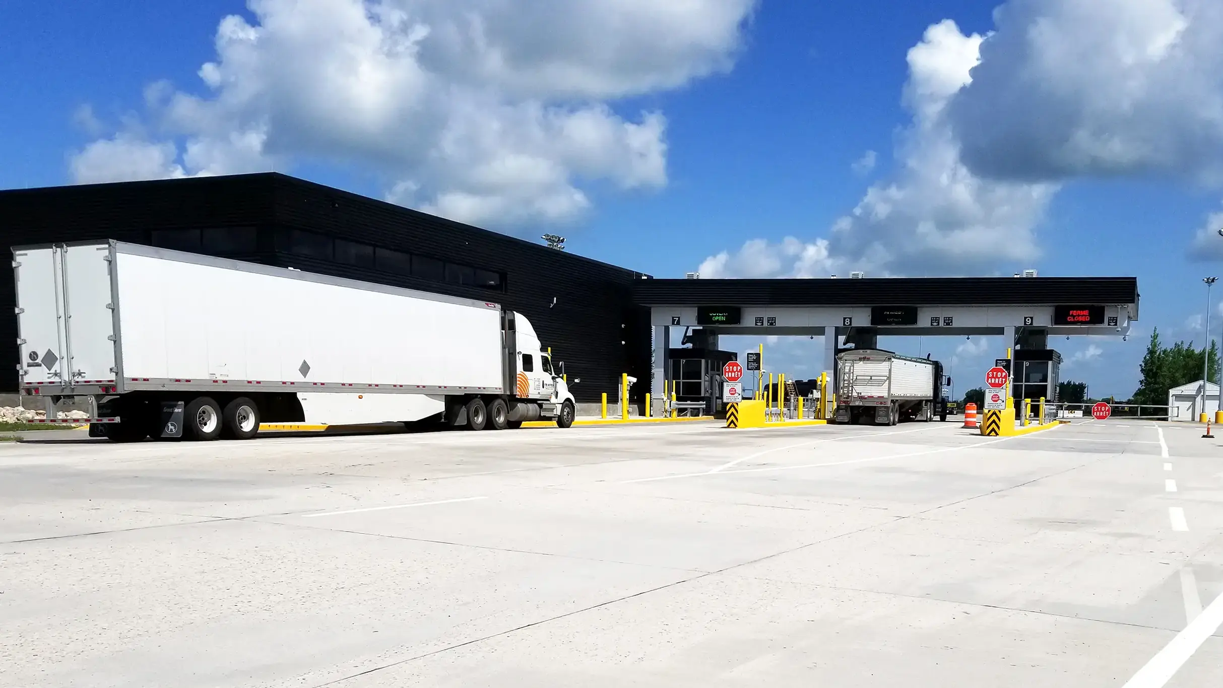
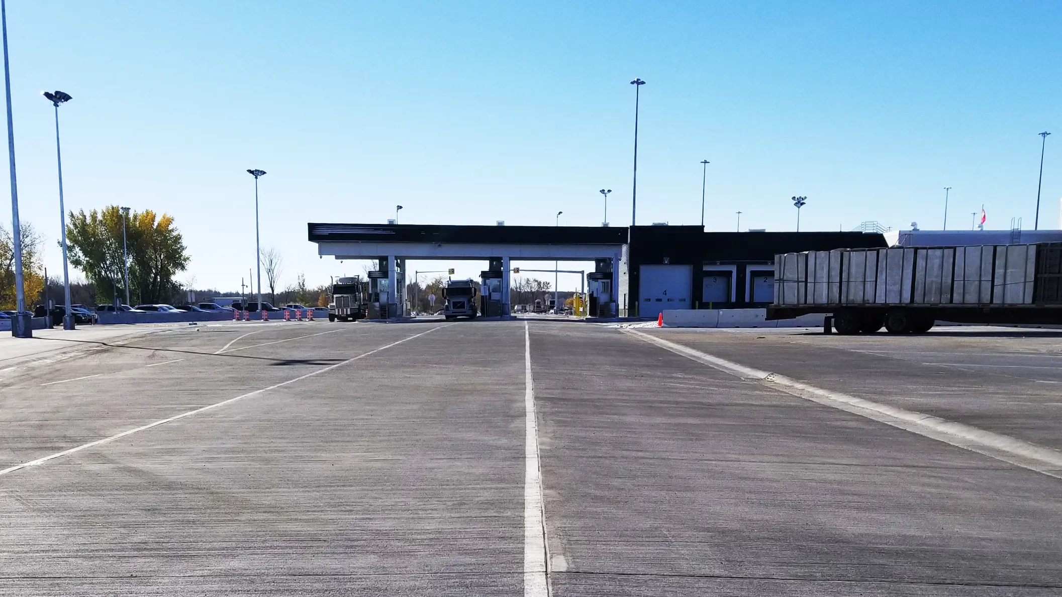
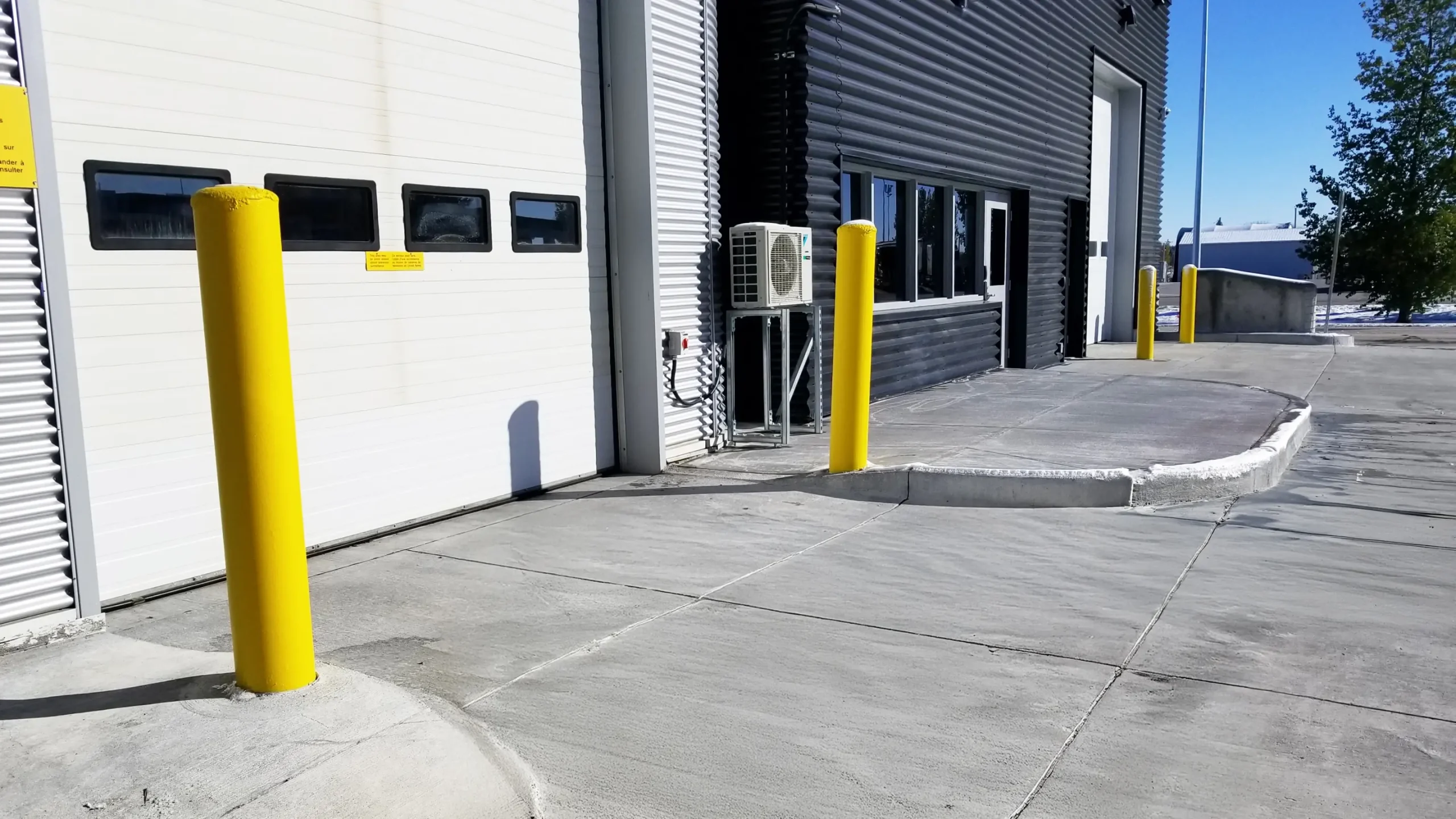
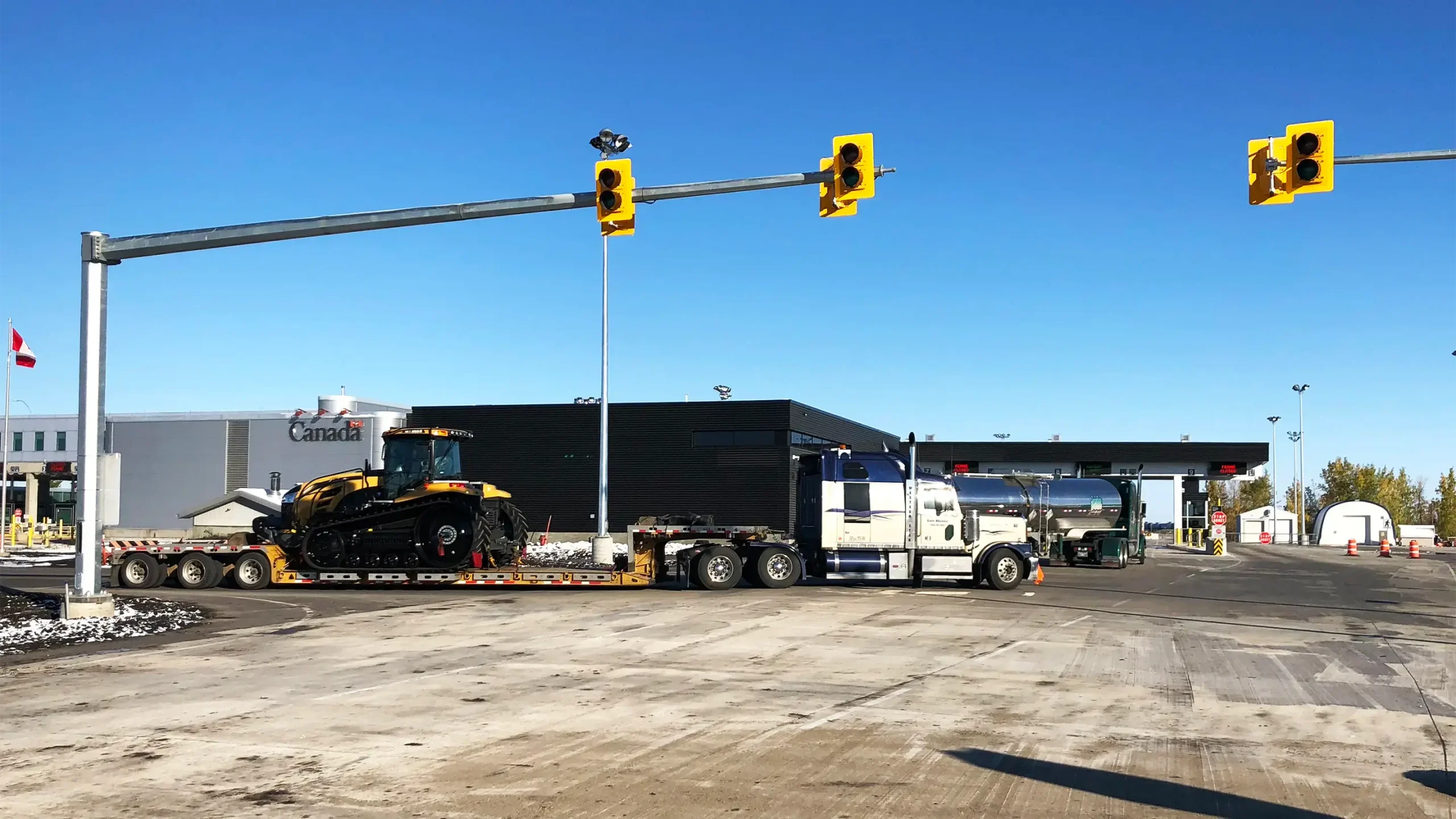
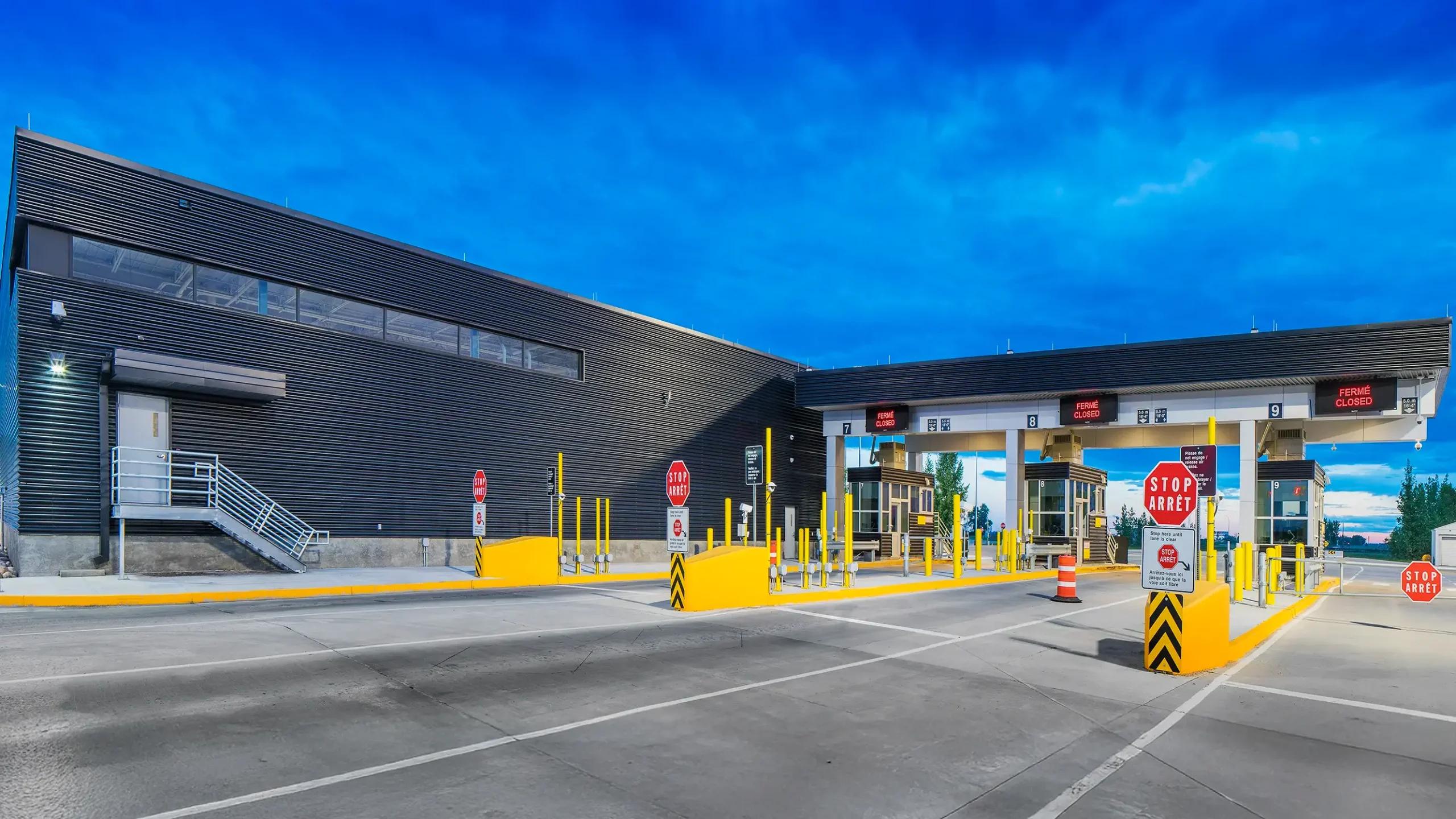
To improve security and efficiency at the Port of Emerson, the Canada Border Services Agency wanted to shift commercial inspections to a dedicated area separate from passenger traffic. In collaboration with Verne Reimer Architects, KGS Group delivered municipal and transportation design and construction support for $4.5 million in site works.
The project included design and construction support for three primary inspection lanes, a four-lane thoroughfare, staff parking lot, commercial parking lot, commercial loading bay, site grading, building services, land drainage system and highway signage.
Coordinated with Manitoba Infrastructure and the North Dakota Department of Transportation, the project improves traffic processing by diverting commercial vehicles from North Dakota Interstate 29 through CBSA‘s commercial facility, rejoining Manitoba Highway 75 north of the port. This project establishes the Port of Emerson as Manitoba’s first Free and Secure Trade (FAST) port, expediting border processing for participants registered to the program.
Project Highlights
- Designed three primary inspection lanes, four‑lane thoroughfare, parking lots and a loading bay
- Improved drainage with a new land drainage system
- Supported the establishment of Manitoba’s first Free and Secure Trade (FAST) port to expedite processing for registered participants
City of Winnipeg Reduced Speed Limit Pilot Study
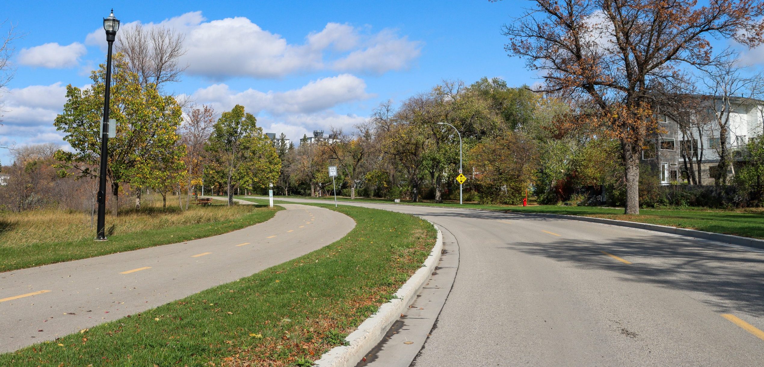
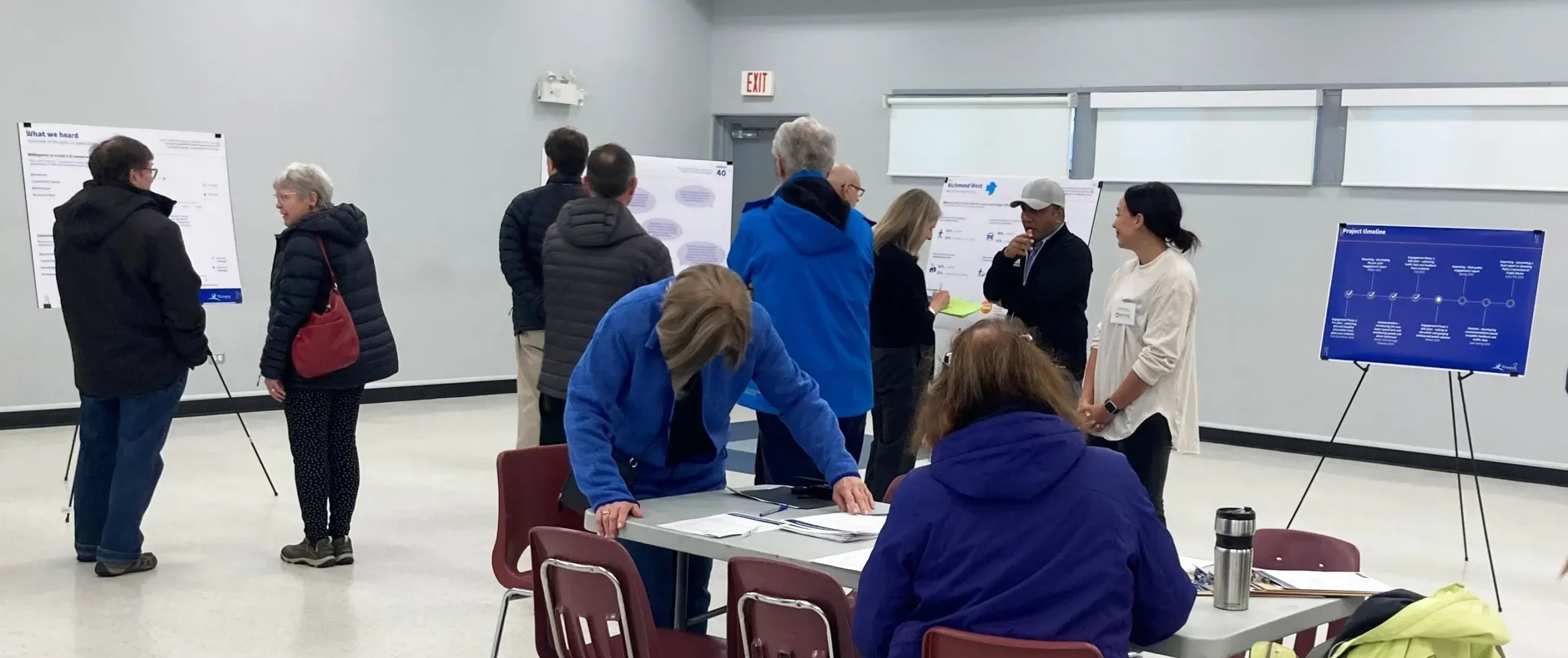
KGS Group worked with the City of Winnipeg to conduct a one-year speed limit reduction pilot project in four different neighbourhoods across the city. We evaluated the impact of reduced speed limits on residential roads and the impact of lower speed limits on neighbourhood liveability.
The scenario analysis considered a speed limit reduction of a particular magnitude. These scenarios were evaluated based on travel time, perceived safety, perceived liveability, expected collision reduction, ease of implementation and expectancy. Based on the results of the scenario analysis and the public engagement, a recommended speed limit for local streets and minor collectors was provided to the City of Winnipeg for consideration.
This project was completed by MORR Transportation Consulting Ltd. prior to its acquisition by KGS Group.
Project Highlights
- A comprehensive review of national and international literature
- A jurisdictional scan
- Analysis of historical speed study data
- Design of a data collection program for the four pilot neighbourhoods
- Stakeholder and public engagement
- Design and application of a scenario analysis